Floating Island Sw Topo Map Utah
To zoom in, hover over the map of Floating Island Sw
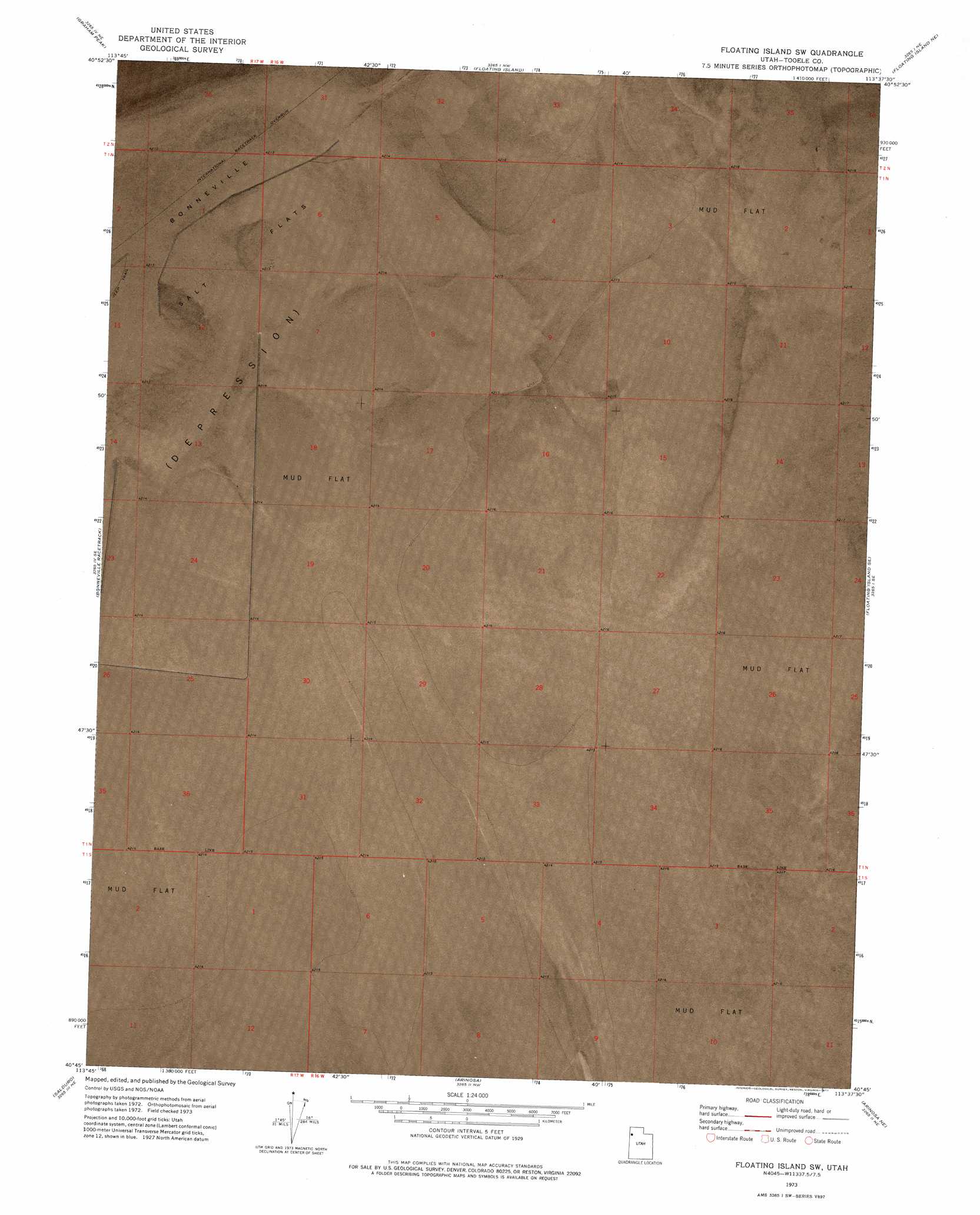
USGS Topo Quad 40113g6 - 1:24,000 scale
| Topo Map Name: | Floating Island Sw |
| USGS Topo Quad ID: | 40113g6 |
| Print Size: | ca. 21 1/4" wide x 27" high |
| Southeast Coordinates: | 40.75° N latitude / 113.625° W longitude |
| Map Center Coordinates: | 40.8125° N latitude / 113.6875° W longitude |
| U.S. State: | UT |
| Filename: | p40113g6.jpg |
| Download Map JPG Image: | Floating Island Sw topo map 1:24,000 scale |
| Map Type: | Orthophoto |
| Topo Series: | 7.5´ |
| Map Scale: | 1:24,000 |
| Source of Map Images: | United States Geological Survey (USGS) |
| Alternate Map Versions: |
Floating Island SW UT 1973, updated 1977 Download PDF Buy paper map Floating Island SW UT 2011 Download PDF Buy paper map Floating Island SW UT 2014 Download PDF Buy paper map |
1:24,000 Topo Quads surrounding Floating Island Sw
Crater Island Sw |
Crater Island |
Lucin 4 Sw |
Lucin 4 Se |
Big Pass |
Silver Island Pass |
Graham Peak |
Floating Island |
Floating Island Ne |
Knolls 2 Nw |
Tetzlaff Peak |
Bonneville Racetrack |
Floating Island Sw |
Floating Island Se |
Knolls 2 Sw |
Silsbee |
Salduro |
Arinosa |
Arinosa Ne |
Barro |
Salduro Sw |
Salduro Se |
Arinosa Sw |
Arinosa Se |
Knolls Sw |
> Back to 40113e1 at 1:100,000 scale
> Back to 40112a1 at 1:250,000 scale
> Back to U.S. Topo Maps home
Floating Island Sw topo map: Gazetteer
Floating Island Sw: Parks
Bonneville Salt Flats State Park elevation 1286m 4219′Floating Island Sw digital topo map on disk
Buy this Floating Island Sw topo map showing relief, roads, GPS coordinates and other geographical features, as a high-resolution digital map file on DVD: