Lariat Ne Topo Map Texas
To zoom in, hover over the map of Lariat Ne
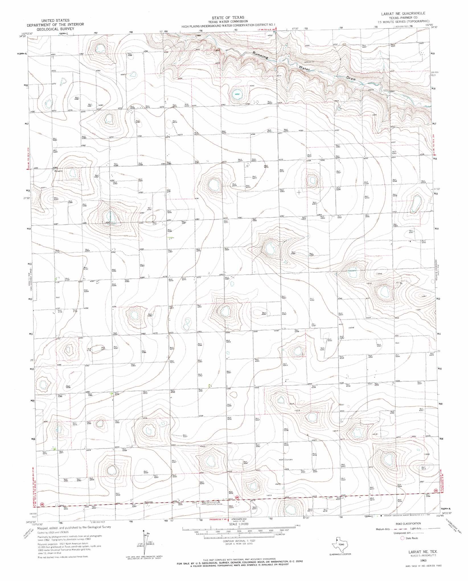
USGS Topo Quad 34102d7 - 1:24,000 scale
| Topo Map Name: | Lariat Ne |
| USGS Topo Quad ID: | 34102d7 |
| Print Size: | ca. 21 1/4" wide x 27" high |
| Southeast Coordinates: | 34.375° N latitude / 102.75° W longitude |
| Map Center Coordinates: | 34.4375° N latitude / 102.8125° W longitude |
| U.S. State: | TX |
| Filename: | o34102d7.jpg |
| Download Map JPG Image: | Lariat Ne topo map 1:24,000 scale |
| Map Type: | Topographic |
| Topo Series: | 7.5´ |
| Map Scale: | 1:24,000 |
| Source of Map Images: | United States Geological Survey (USGS) |
| Alternate Map Versions: |
Lariat NE TX 1963, updated 1965 Download PDF Buy paper map Lariat NE TX 2010 Download PDF Buy paper map Lariat NE TX 2012 Download PDF Buy paper map Lariat NE TX 2016 Download PDF Buy paper map |
1:24,000 Topo Quads surrounding Lariat Ne
Pleasant Hill Ne |
Rhea |
Twin Lakes |
Friona |
Summerfield |
Pleasant Hill |
Bovina |
Parmerton |
Hub |
Tam Anne |
Farwell |
Oklahoma Lane |
Lariat Ne |
Clays Corner |
Lazbuddie |
Pleasure Lake |
Lariat |
Progress |
Lazbuddie Sw |
Lazbuddie Se |
Arch Ne |
Birdwell Ranch |
Baileyboro Ne |
Muleshoe |
Muleshoe Ne |
> Back to 34102a1 at 1:100,000 scale
> Back to 34102a1 at 1:250,000 scale
> Back to U.S. Topo Maps home
No gazetteer data is available for the Lariat Ne topo map sheet.
Lariat Ne digital topo map on disk
Buy this Lariat Ne topo map showing relief, roads, GPS coordinates and other geographical features, as a high-resolution digital map file on DVD: