Phroso Topo Map Oklahoma
To zoom in, hover over the map of Phroso
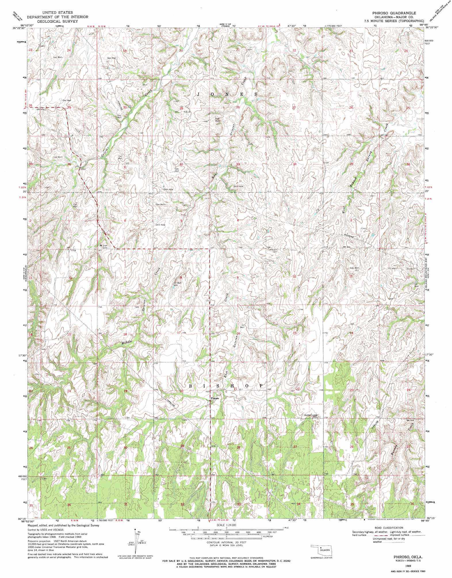
USGS Topo Quad 36098c7 - 1:24,000 scale
| Topo Map Name: | Phroso |
| USGS Topo Quad ID: | 36098c7 |
| Print Size: | ca. 21 1/4" wide x 27" high |
| Southeast Coordinates: | 36.25° N latitude / 98.75° W longitude |
| Map Center Coordinates: | 36.3125° N latitude / 98.8125° W longitude |
| U.S. State: | OK |
| Filename: | o36098c7.jpg |
| Download Map JPG Image: | Phroso topo map 1:24,000 scale |
| Map Type: | Topographic |
| Topo Series: | 7.5´ |
| Map Scale: | 1:24,000 |
| Source of Map Images: | United States Geological Survey (USGS) |
| Alternate Map Versions: |
Phroso OK 1969, updated 1971 Download PDF Buy paper map Phroso OK 2010 Download PDF Buy paper map Phroso OK 2012 Download PDF Buy paper map Phroso OK 2016 Download PDF Buy paper map |
1:24,000 Topo Quads surrounding Phroso
Fairvalley Se |
Waynoka West |
Waynoka East |
Dacoma Sw |
Dacoma Se |
Quinlan |
Belva |
Togo |
Glass Mountains Nw |
Glass Mountains Ne |
Mooreland Se |
Cedardale |
Phroso |
Glass Mountains Sw |
Glass Mountains |
Mutual Ne |
Seiling |
Orion |
Canton Nw |
Longdale |
Lenora |
Taloga |
Hucmac |
Canton Sw |
Canton |
> Back to 36098a1 at 1:100,000 scale
> Back to 36098a1 at 1:250,000 scale
> Back to U.S. Topo Maps home
Phroso topo map: Gazetteer
Phroso: Populated Places
Phroso elevation 490m 1607′Phroso: Streams
Middle Griever Creek elevation 456m 1496′Phroso digital topo map on disk
Buy this Phroso topo map showing relief, roads, GPS coordinates and other geographical features, as a high-resolution digital map file on DVD: