Truckton Se Topo Map Colorado
To zoom in, hover over the map of Truckton Se
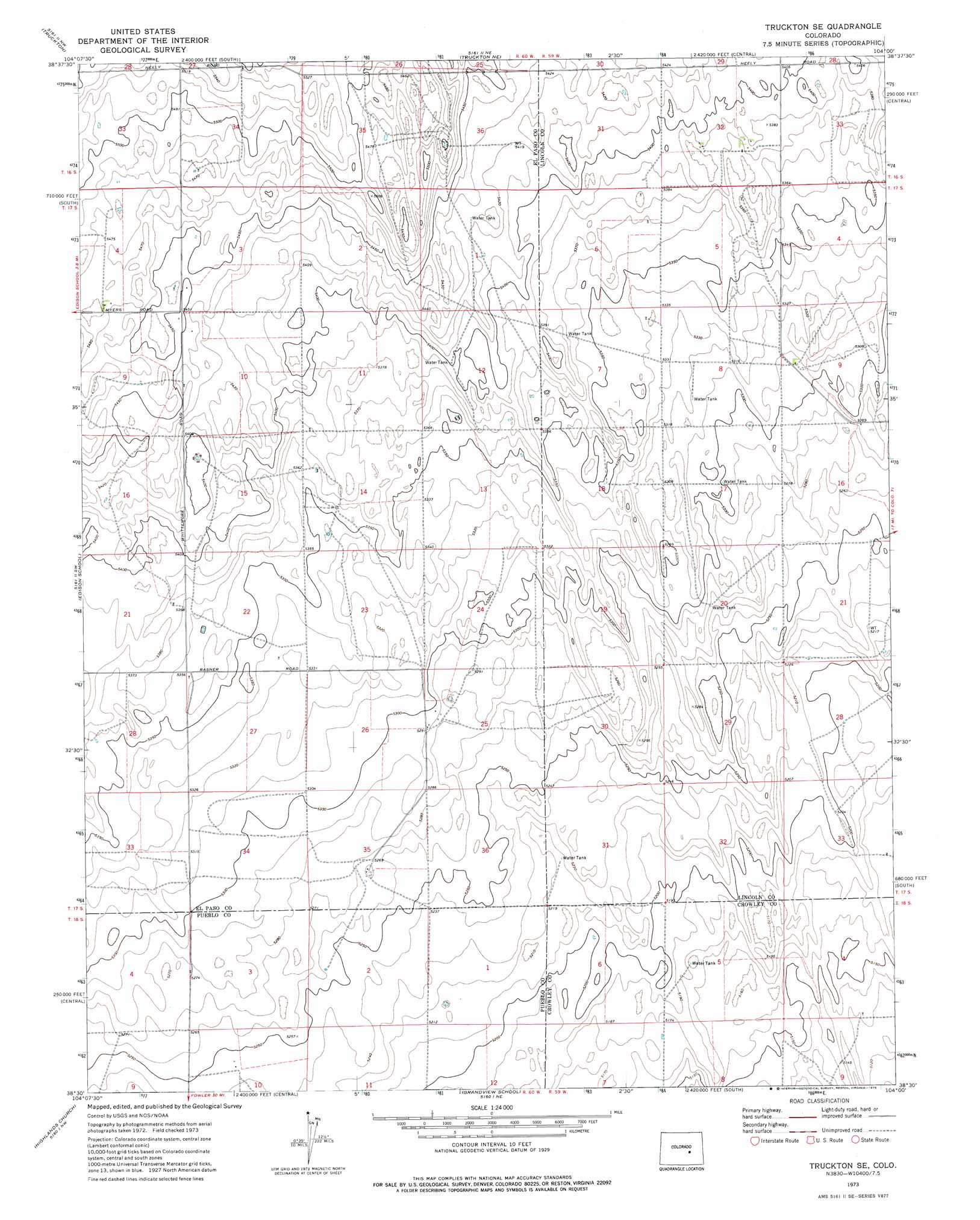
USGS Topo Quad 38104e1 - 1:24,000 scale
| Topo Map Name: | Truckton Se |
| USGS Topo Quad ID: | 38104e1 |
| Print Size: | ca. 21 1/4" wide x 27" high |
| Southeast Coordinates: | 38.5° N latitude / 104° W longitude |
| Map Center Coordinates: | 38.5625° N latitude / 104.0625° W longitude |
| U.S. State: | CO |
| Filename: | o38104e1.jpg |
| Download Map JPG Image: | Truckton Se topo map 1:24,000 scale |
| Map Type: | Topographic |
| Topo Series: | 7.5´ |
| Map Scale: | 1:24,000 |
| Source of Map Images: | United States Geological Survey (USGS) |
| Alternate Map Versions: |
Truckton SE CO 1973, updated 1975 Download PDF Buy paper map Truckton SE CO 2010 Download PDF Buy paper map Truckton SE CO 2013 Download PDF Buy paper map Truckton SE CO 2016 Download PDF Buy paper map |
1:24,000 Topo Quads surrounding Truckton Se
Big Springs Ranch |
Yoder |
Rush |
Kutch Sw |
Kutch Se |
Hanover Ne |
Truckton |
Truckton Ne |
Sanborn Reservoir |
Peace Valley |
Hanover Se |
Edison School |
Truckton Se |
Cockleburr Springs |
Walker Point |
North Avondale Ne |
Highlands Church |
Grandview School |
Ninemile Spring |
Windmill Lake |
North Avondale |
Boone Hill |
Grandview School Se |
Antelope Mesa |
Nero Hill |
> Back to 38104e1 at 1:100,000 scale
> Back to 38104a1 at 1:250,000 scale
> Back to U.S. Topo Maps home
No gazetteer data is available for the Truckton Se topo map sheet.
Truckton Se digital topo map on disk
Buy this Truckton Se topo map showing relief, roads, GPS coordinates and other geographical features, as a high-resolution digital map file on DVD: