Barro Topo Map Utah
To zoom in, hover over the map of Barro
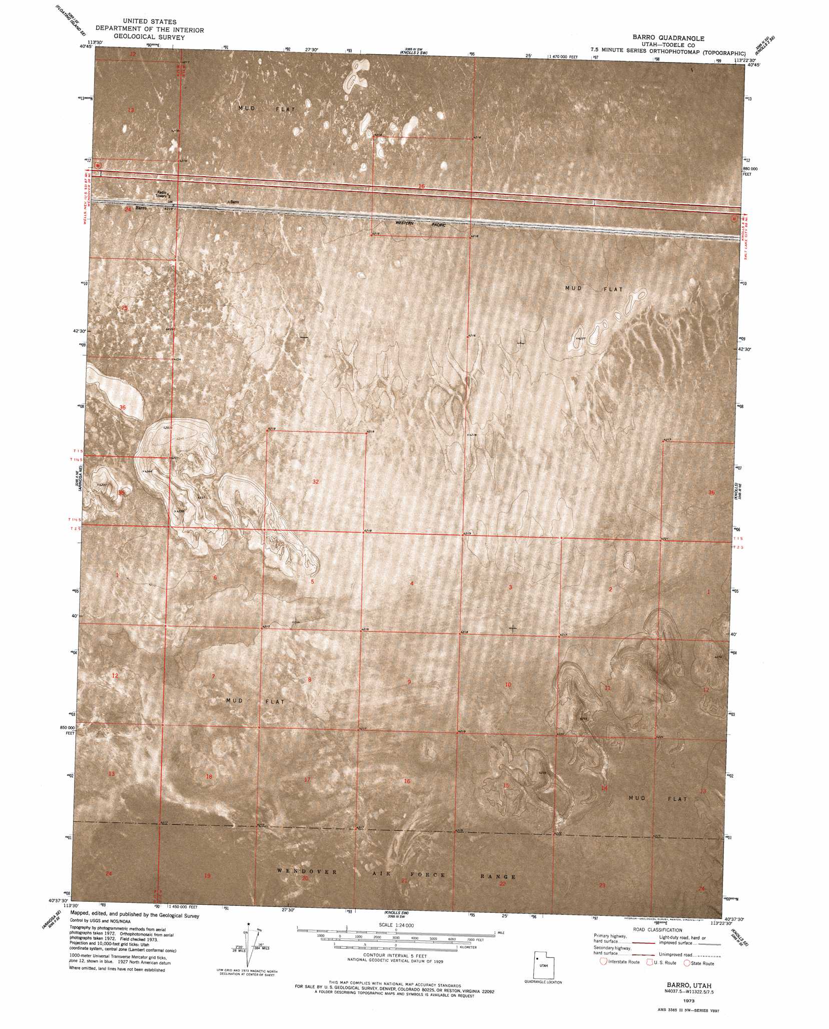
USGS Topo Quad 40113f4 - 1:24,000 scale
| Topo Map Name: | Barro |
| USGS Topo Quad ID: | 40113f4 |
| Print Size: | ca. 21 1/4" wide x 27" high |
| Southeast Coordinates: | 40.625° N latitude / 113.375° W longitude |
| Map Center Coordinates: | 40.6875° N latitude / 113.4375° W longitude |
| U.S. State: | UT |
| Filename: | p40113f4.jpg |
| Download Map JPG Image: | Barro topo map 1:24,000 scale |
| Map Type: | Orthophoto |
| Topo Series: | 7.5´ |
| Map Scale: | 1:24,000 |
| Source of Map Images: | United States Geological Survey (USGS) |
| Alternate Map Versions: |
Barro UT 1973, updated 1977 Download PDF Buy paper map Barro UT 2010 Download PDF Buy paper map Barro UT 2014 Download PDF Buy paper map |
1:24,000 Topo Quads surrounding Barro
Floating Island |
Floating Island Ne |
Knolls 2 Nw |
Knolls 2 Ne |
Finger Ridge |
Floating Island Sw |
Floating Island Se |
Knolls 2 Sw |
Knolls 2 Se |
Grayback Hills |
Arinosa |
Arinosa Ne |
Barro |
Knolls |
Aragonite Nw |
Arinosa Sw |
Arinosa Se |
Knolls Sw |
Knolls Se |
Aragonite Sw |
Gold Hill 1 Nw |
Gold Hill 1 Ne |
Wildcat Mountain Nw |
Wildcat Mountain |
Wig Mountain Nw |
> Back to 40113e1 at 1:100,000 scale
> Back to 40112a1 at 1:250,000 scale
> Back to U.S. Topo Maps home
Barro digital topo map on disk
Buy this Barro topo map showing relief, roads, GPS coordinates and other geographical features, as a high-resolution digital map file on DVD: