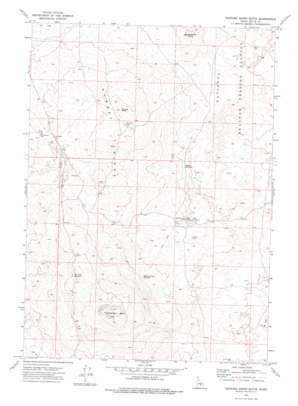
Quaking Aspen Butte Topo Map Idaho
To zoom in, hover over the map of Quaking Aspen Butte
USGS Topo Quad 43113d2 - 1:24,000 scale
| Topo Map Name: | Quaking Aspen Butte |
| USGS Topo Quad ID: | 43113d2 |
| Print Size: | ca. 21 1/4" wide x 27" high |
| Southeast Coordinates: | 43.375° N latitude / 113.125° W longitude |
| Map Center Coordinates: | 43.4375° N latitude / 113.1875° W longitude |
| U.S. State: | ID |
| Filename: | o43113d2.jpg |
| Download Map JPG Image: | Quaking Aspen Butte topo map 1:24,000 scale |
| Map Type: | Topographic |
| Topo Series: | 7.5´ |
| Map Scale: | 1:24,000 |
| Source of Map Images: | United States Geological Survey (USGS) |
| Alternate Map Versions: |
Quaking Aspen Butte ID 1972, updated 1975 Download PDF Buy paper map Quaking Aspen Butte ID 2010 Download PDF Buy paper map Quaking Aspen Butte ID 2013 Download PDF Buy paper map |
1:24,000 Topo Quads surrounding Quaking Aspen Butte
> Back to 43113a1 at 1:100,000 scale
> Back to 43112a1 at 1:250,000 scale
> Back to U.S. Topo Maps home
Quaking Aspen Butte topo map: Gazetteer
Quaking Aspen Butte: Airports
Quaking Aspen Butte Landing Strip elevation 1586m 5203′Quaking Aspen Butte: Lakes
Tin Cup Lake elevation 1683m 5521′Quaking Aspen Butte: Reservoirs
Parson Reservoir elevation 1586m 5203′Quaking Aspen Reservoir elevation 1634m 5360′
West Side Reservoir elevation 1678m 5505′
Quaking Aspen Butte: Ridges
Sunset Ridge elevation 1683m 5521′Quaking Aspen Butte: Summits
Quaking Aspen Butte elevation 1787m 5862′Teakettle Butte elevation 1642m 5387′
Tin Cup Butte elevation 1698m 5570′
Quaking Aspen Butte: Wells
Sunset Well elevation 1641m 5383′Quaking Aspen Butte digital topo map on disk
Buy this Quaking Aspen Butte topo map showing relief, roads, GPS coordinates and other geographical features, as a high-resolution digital map file on DVD:


