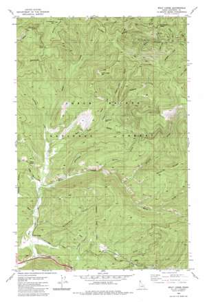
Wolf Lodge Topo Map Idaho
To zoom in, hover over the map of Wolf Lodge
USGS Topo Quad 47116f5 - 1:24,000 scale
| Topo Map Name: | Wolf Lodge |
| USGS Topo Quad ID: | 47116f5 |
| Print Size: | ca. 21 1/4" wide x 27" high |
| Southeast Coordinates: | 47.625° N latitude / 116.5° W longitude |
| Map Center Coordinates: | 47.6875° N latitude / 116.5625° W longitude |
| U.S. State: | ID |
| Filename: | o47116f5.jpg |
| Download Map JPG Image: | Wolf Lodge topo map 1:24,000 scale |
| Map Type: | Topographic |
| Topo Series: | 7.5´ |
| Map Scale: | 1:24,000 |
| Source of Map Images: | United States Geological Survey (USGS) |
| Alternate Map Versions: |
Wolf Lodge ID 1982, updated 1982 Download PDF Buy paper map Wolf Lodge ID 1996, updated 1999 Download PDF Buy paper map Wolf Lodge ID 2011 Download PDF Buy paper map Wolf Lodge ID 2014 Download PDF Buy paper map |
| FStopo: | US Forest Service topo Wolf Lodge is available: Download FStopo PDF Download FStopo TIF |
1:24,000 Topo Quads surrounding Wolf Lodge
> Back to 47116e1 at 1:100,000 scale
> Back to 47116a1 at 1:250,000 scale
> Back to U.S. Topo Maps home
Wolf Lodge topo map: Gazetteer
Wolf Lodge: Gaps
Fernan Saddle elevation 1237m 4058′Five Fingers Saddle elevation 1068m 3503′
Meyers Saddle elevation 839m 2752′
Wolf Lodge Saddle elevation 1428m 4685′
Wolf Lodge: Mines
Homebuilder Mine elevation 851m 2791′Wolf Lodge: Populated Places
Wolf Lodge elevation 656m 2152′Wolf Lodge: Reservoirs
Wolf Lodge Holding Ponds elevation 680m 2230′Wolf Lodge: Ridges
Skitwish Ridge elevation 1276m 4186′Windy Ridge elevation 1237m 4058′
Wolf Lodge: Streams
Alder Creek elevation 692m 2270′Blue Grouse Creek elevation 885m 2903′
Blue Rock Creek elevation 970m 3182′
Burton Creek elevation 815m 2673′
Cedar Creek elevation 656m 2152′
Haynes Creek elevation 922m 3024′
Holiday Creek elevation 830m 2723′
Lonesome Creek elevation 782m 2565′
Marie Creek elevation 681m 2234′
Miller Creek elevation 965m 3166′
Montford Creek elevation 898m 2946′
Onowa Creek elevation 826m 2709′
Phantom Creek elevation 885m 2903′
Searchlight Creek elevation 734m 2408′
Skitwish Creek elevation 784m 2572′
Stella Creek elevation 744m 2440′
Tripple Cross Creek elevation 946m 3103′
Wolf Lodge: Summits
Fourth of July Summit elevation 1044m 3425′Huckleberry Mountain elevation 1449m 4753′
Treasure Mountain elevation 1354m 4442′
Wolf Lodge Mountain elevation 1406m 4612′
Wolf Lodge: Valleys
Chinese Gulch elevation 751m 2463′Finger Gulch elevation 901m 2956′
Rutherford Gulch elevation 699m 2293′
Shady Draw elevation 926m 3038′
Wolf Lodge digital topo map on disk
Buy this Wolf Lodge topo map showing relief, roads, GPS coordinates and other geographical features, as a high-resolution digital map file on DVD:


