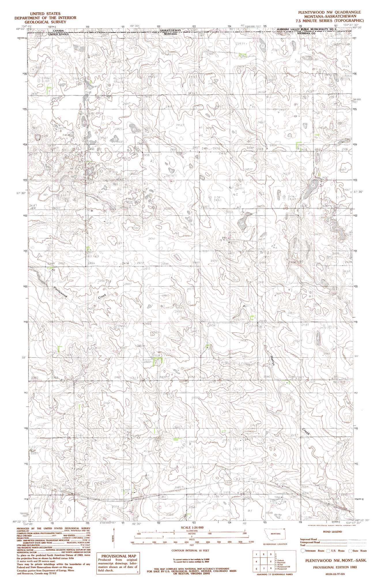
Plentywood Nw Topo Map Montana
To zoom in, hover over the map of Plentywood Nw
USGS Topo Quad 48104h6 - 1:24,000 scale
| Topo Map Name: | Plentywood Nw |
| USGS Topo Quad ID: | 48104h6 |
| Print Size: | ca. 21 1/4" wide x 27" high |
| Southeast Coordinates: | 48.875° N latitude / 104.625° W longitude |
| Map Center Coordinates: | 48.9375° N latitude / 104.6875° W longitude |
| U.S. State: | MT |
| Filename: | o48104h6.jpg |
| Download Map JPG Image: | Plentywood Nw topo map 1:24,000 scale |
| Map Type: | Topographic |
| Topo Series: | 7.5´ |
| Map Scale: | 1:24,000 |
| Source of Map Images: | United States Geological Survey (USGS) |
| Alternate Map Versions: |
Plentywood NW MT 1983, updated 1983 Download PDF Buy paper map Plentywood NW MT 2011 Download PDF Buy paper map Plentywood NW MT 2014 Download PDF Buy paper map |
1:24,000 Topo Quads surrounding Plentywood Nw
Daleview |
Outlook |
Plentywood Nw |
Raymond |
Dooley |
Redstone |
Archer |
Plentywood Sw |
Plentywood |
Dooley Sw |
Soo Nw |
Soo Ne |
Kisler Butte |
Shippe Canyon |
Antelope |
> Back to 48104e1 at 1:100,000 scale
> Back to 48104a1 at 1:250,000 scale
> Back to U.S. Topo Maps home
Plentywood Nw topo map: Gazetteer
Plentywood Nw: Post Offices
Greenville Post Office (historical) elevation 747m 2450′Plentywood Nw digital topo map on disk
Buy this Plentywood Nw topo map showing relief, roads, GPS coordinates and other geographical features, as a high-resolution digital map file on DVD:
Eastern Montana & Western North Dakota
Buy digital topo maps: Eastern Montana & Western North Dakota