Headlight Butte Topo Map Montana
To zoom in, hover over the map of Headlight Butte
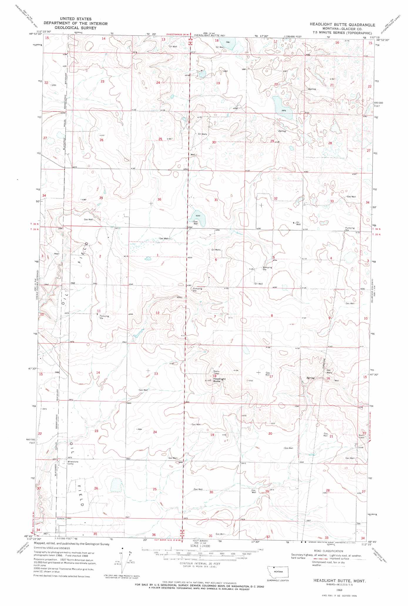
USGS Topo Quad 48112g3 - 1:24,000 scale
| Topo Map Name: | Headlight Butte |
| USGS Topo Quad ID: | 48112g3 |
| Print Size: | ca. 21 1/4" wide x 27" high |
| Southeast Coordinates: | 48.75° N latitude / 112.25° W longitude |
| Map Center Coordinates: | 48.8125° N latitude / 112.3125° W longitude |
| U.S. State: | MT |
| Filename: | o48112g3.jpg |
| Download Map JPG Image: | Headlight Butte topo map 1:24,000 scale |
| Map Type: | Topographic |
| Topo Series: | 7.5´ |
| Map Scale: | 1:24,000 |
| Source of Map Images: | United States Geological Survey (USGS) |
| Alternate Map Versions: |
Headlight Butte MT 1968, updated 1972 Download PDF Buy paper map Headlight Butte MT 2011 Download PDF Buy paper map Headlight Butte MT 2014 Download PDF Buy paper map |
1:24,000 Topo Quads surrounding Headlight Butte
Love Rock |
Headlight Butte Nw |
Headlight Butte Ne |
Fitzpatrick Lake |
Hillside Colony |
Rocky Buttes |
Dead Indian Spring |
Headlight Butte |
Glacier Colony |
Mountain View School |
Sundance |
Gunsight |
Cut Bank |
Ethridge Nw |
Aloe |
Mission Lake East |
Squaw Buttes |
Cut Bank Se |
Boru Spring |
Ethridge |
> Back to 48112e1 at 1:100,000 scale
> Back to 48112a1 at 1:250,000 scale
> Back to U.S. Topo Maps home
Headlight Butte topo map: Gazetteer
Headlight Butte: Dams
Omicron Dam elevation 1213m 3979′Headlight Butte: Populated Places
Tipville (historical) elevation 1262m 4140′Headlight Butte: Summits
Headlight Butte elevation 1271m 4169′Headlight Butte: Wells
35N05W04AA__01 Well elevation 1250m 4101′35N05W05AD__01 Well elevation 1255m 4117′
35N05W05DD__01 Well elevation 1256m 4120′
35N05W05DDD_01 Well elevation 1256m 4120′
35N05W07BB__01 Well elevation 1243m 4078′
35N05W07CC__01 Well elevation 1257m 4124′
35N05W16AC__01 Well elevation 1257m 4124′
35N05W19CB__01 Well elevation 1202m 3943′
35N05W20BB__01 Well elevation 1239m 4064′
35N05W20BB__02 Well elevation 1239m 4064′
35N05W20DC__01 Well elevation 1202m 3943′
35N05W21DA__01 Well elevation 1229m 4032′
35N05W22CB__01 Well elevation 1257m 4124′
35N05W22CB__02 Well elevation 1257m 4124′
35N05W27CC__01 Well elevation 1217m 3992′
35N05W30AD__01 Well elevation 1184m 3884′
35N05W34BB__01 Well elevation 1213m 3979′
35N05W34BB__02 Well elevation 1213m 3979′
35N06W02AA__01 Well elevation 1224m 4015′
35N06W02DD__01 Well elevation 1241m 4071′
35N06W11CB__01 Well elevation 1216m 3989′
35N06W12CC__01 Well elevation 1201m 3940′
35N06W14CB__01 Well elevation 1190m 3904′
35N06W23CD__01 Well elevation 1184m 3884′
35N06W26CD__01 Well elevation 1180m 3871′
36N05W19BC__01 Well elevation 1221m 4005′
36N05W31BC__01 Well elevation 1242m 4074′
36N05W32BC__01 Well elevation 1248m 4094′
36N05W33BC__01 Well elevation 1248m 4094′
36N05W33CBBC01 Well elevation 1256m 4120′
36N06W25DD__01 Well elevation 1251m 4104′
36N06W34DD__01 Well elevation 1222m 4009′
36N06W35DA__01 Well elevation 1238m 4061′
36N06W35DC__01 Well elevation 1230m 4035′
Headlight Butte digital topo map on disk
Buy this Headlight Butte topo map showing relief, roads, GPS coordinates and other geographical features, as a high-resolution digital map file on DVD: