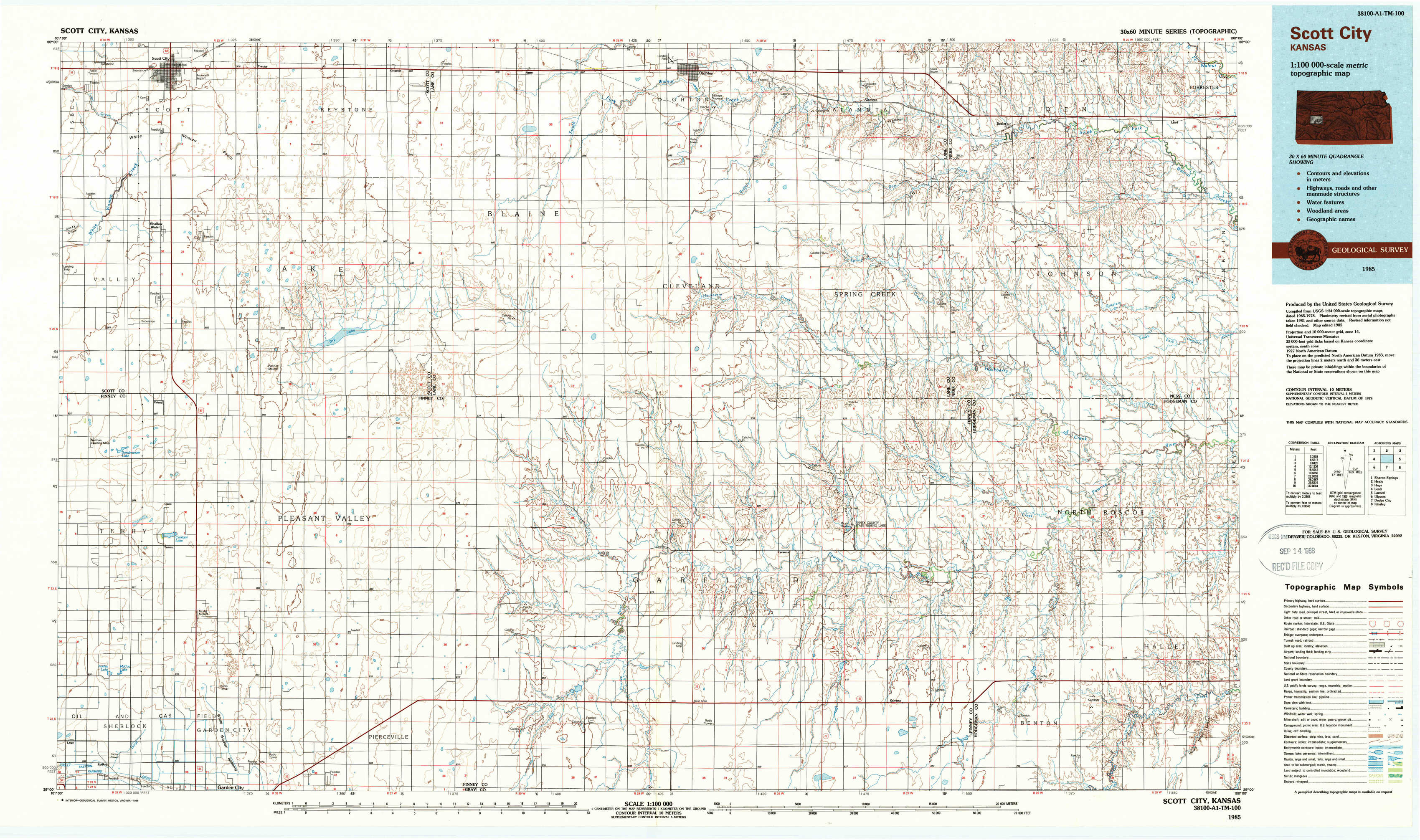
Scott City Topo Map Kansas
To zoom in, hover over the map of Scott City
USGS Topo Map 38100a1 - 1:100,000 scale
| Topo Map Name: | Scott City |
| USGS Topo Quad ID: | 38100a1 |
| Print Size: | ca. 39" wide x 24" high |
| Southeast Coordinates: | 38° N latitude / 100° W longitude |
| Map Center Coordinates: | 38.25° N latitude / 100.5° W longitude |
| U.S. State: | KS |
| Filename: | 38100a1.jpg |
| Download Map JPG Image: | Scott City topo map 1:100,000 scale |
| Map Type: | Topographic |
| Topo Series: | 30´x60´ |
| Map Scale: | 1:100,000 |
| Source of Map Images: | United States Geological Survey (USGS) |
| Alternate Map Versions: |
Scott City KS 1985, updated 1985 Download PDF Buy paper map Scott City KS 1985, updated 1988 Download PDF Buy paper map |
1:100,000 Topos surrounding Scott City
Sharon Springs |
Healy |
Hays |
Leoti |
Scott City |
Larned |
Ulysses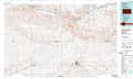 |
Dodge City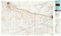 |
Kinsley |
> Back to 38100a1 at 1:250,000 scale
> Back to U.S. Topo Maps home
1:24,000 Topo Quads covered by the spatial extent of this 100k map (Scott City)
|
Scott City 
|
Tractor 
|
Grigston 
|
Amy 
|
Dighton 
|
Alamota 
|
Beeler 
|
Laird 
|
|
Shallow Water 
|
Pawnee Mound 
|
Amy Sw 
|
Amy Se 
|
Dighton Sw 
|
Dighton Se 
|
Beeler Sw 
|
Beeler Se 
|
|
Tennis 
|
Tennis Ne 
|
Scott City 4 Nw 
|
Scott City 4 Ne 
|
Ravanna 
|
Hay Canyon 
|
Horse Thief Canyon Nw 
|
Horse Thief Canyon Ne 
|
|
Lowe 
|
White Woman Bottoms 
|
Scott City 4 Sw 
|
Scott City 4 Se 
|
Kalvesta Sw 
|
Kalvesta 
|
Horse Thief Canyon Sw 
|
Horse Thief Canyon 
|