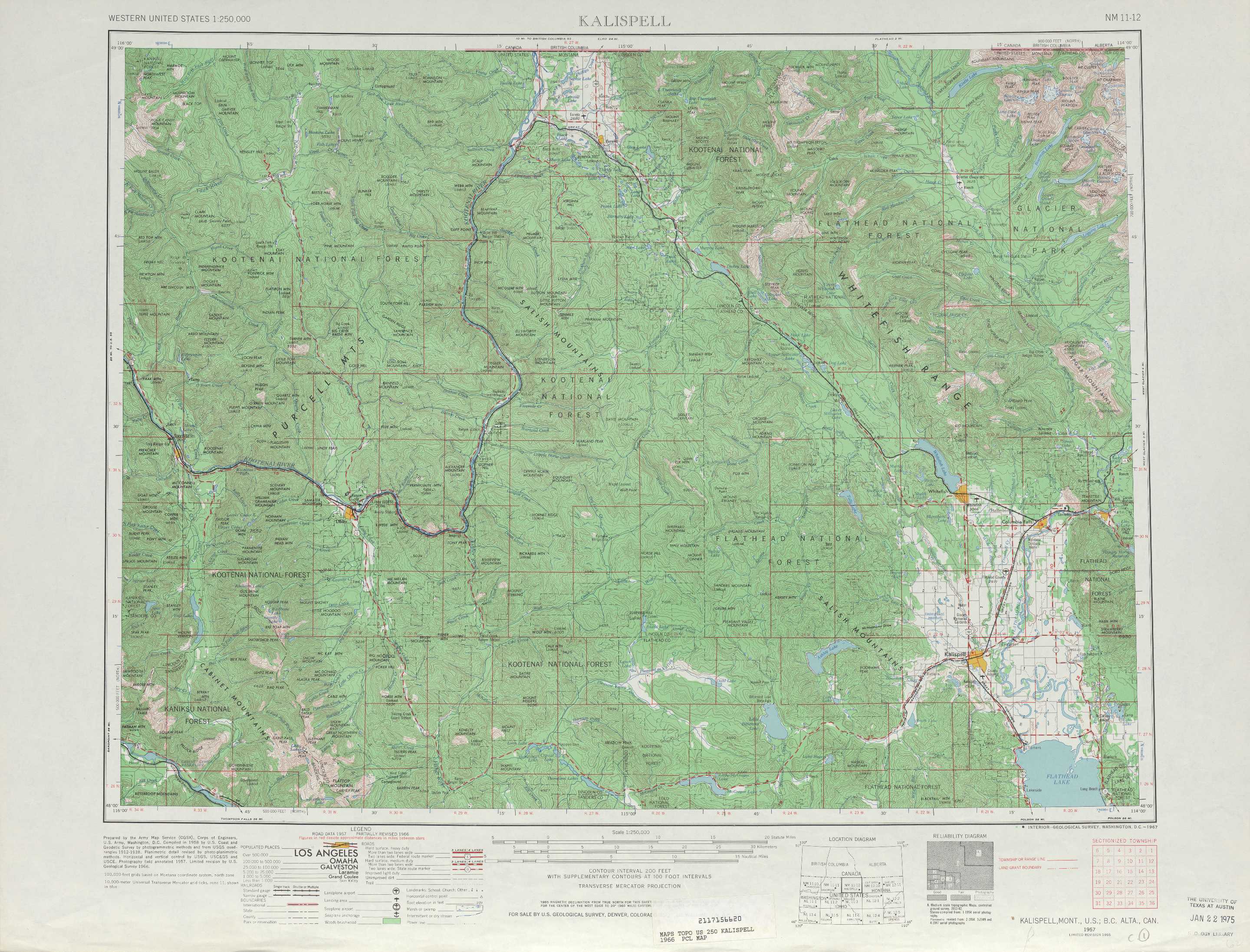
Kalispell Topo Map Montana
To zoom in, hover over the map of Kalispell
USGS Topo Map 48114a1 - 1:250,000 scale
| Topo Map Name: | Kalispell |
| USGS Topo Quad ID: | 48114a1 |
| Print Size: | ca. 32" wide x 22 1/2" high |
| Southeast Coordinates: | 48° N latitude / 114° W longitude |
| Map Center Coordinates: | 48.5° N latitude / 115° W longitude |
| U.S. State: | MT |
| Filename: | 48114a1.jpg |
| Download Map JPG Image: | Kalispell topo map 1:250,000 scale |
| Map Type: | Topographic |
| Topo Series: | 1°x2° |
| Map Scale: | 1:250,000 |
| Source of Map Images: | United States Geological Survey (USGS) |
| Alternate Map Versions: |
Kalispell MT 1957, updated 1967 Download PDF Buy paper map Kalispell MT 1957, updated 1976 Download PDF Buy paper map Kalispell MT 1957, updated 1980 Download PDF Buy paper map Kalispell MT 1961 Download PDF Buy paper map |
1:250,000 Topos surrounding Kalispell
Sandpoint WA, ID, MT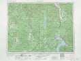 |
Kalispell MT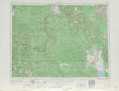 |
Cut Bank MT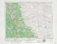 |
Spokane ID, WA, MT |
Wallace MT, ID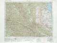 |
Choteau MT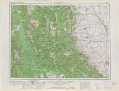 |
> Back to U.S. Topo Maps home
1:100,000 Topo Maps covered by the spatial extent of this 250k map (Kalispell)
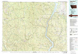
Yaak River MT |
Whitefish Range MT |
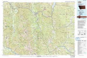
Libby MT |
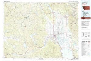
Kalispell MT |