Patricia Ne Topo Map Texas
To zoom in, hover over the map of Patricia Ne
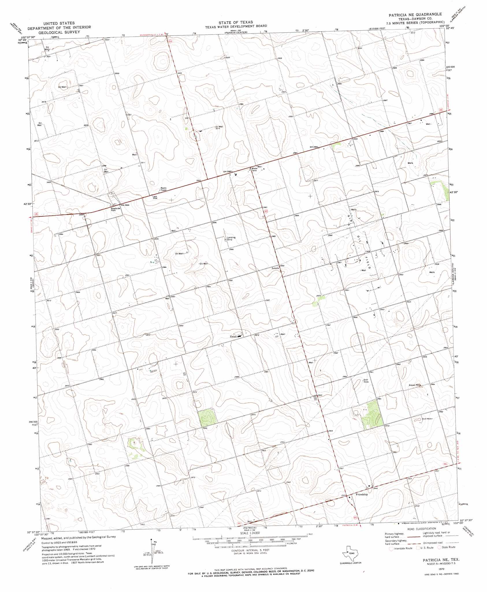
USGS Topo Quad 32102f1 - 1:24,000 scale
| Topo Map Name: | Patricia Ne |
| USGS Topo Quad ID: | 32102f1 |
| Print Size: | ca. 21 1/4" wide x 27" high |
| Southeast Coordinates: | 32.625° N latitude / 102° W longitude |
| Map Center Coordinates: | 32.6875° N latitude / 102.0625° W longitude |
| U.S. State: | TX |
| Filename: | o32102f1.jpg |
| Download Map JPG Image: | Patricia Ne topo map 1:24,000 scale |
| Map Type: | Topographic |
| Topo Series: | 7.5´ |
| Map Scale: | 1:24,000 |
| Source of Map Images: | United States Geological Survey (USGS) |
| Alternate Map Versions: |
Patricia NE TX 1970, updated 1974 Download PDF Buy paper map Patricia NE TX 2010 Download PDF Buy paper map Patricia NE TX 2012 Download PDF Buy paper map Patricia NE TX 2016 Download PDF Buy paper map |
1:24,000 Topo Quads surrounding Patricia Ne
Ashmore |
Welch West |
Welch East |
Gooch Lake |
O'Donnell |
Cedar Point |
Welch Sw |
Punkin Center |
Lamesa North |
Hancock |
Mckenzie Lake |
Sand |
Patricia Ne |
Lamesa South |
Key |
Mckenzie Lake Se |
Patricia Sw |
Patricia |
Tenmile |
Sparenberg |
Five Wells Ranch |
Scharbauer Ranch |
Wolcott Ranch |
Flower Grove |
Merrick |
> Back to 32102e1 at 1:100,000 scale
> Back to 32102a1 at 1:250,000 scale
> Back to U.S. Topo Maps home
Patricia Ne topo map: Gazetteer
Patricia Ne: Oilfields
Gin Oil Field elevation 907m 2975′Patricia Ne: Populated Places
Friendship elevation 896m 2939′Union elevation 909m 2982′
Patricia Ne digital topo map on disk
Buy this Patricia Ne topo map showing relief, roads, GPS coordinates and other geographical features, as a high-resolution digital map file on DVD: