Whiteface Sw Topo Map Texas
To zoom in, hover over the map of Whiteface Sw
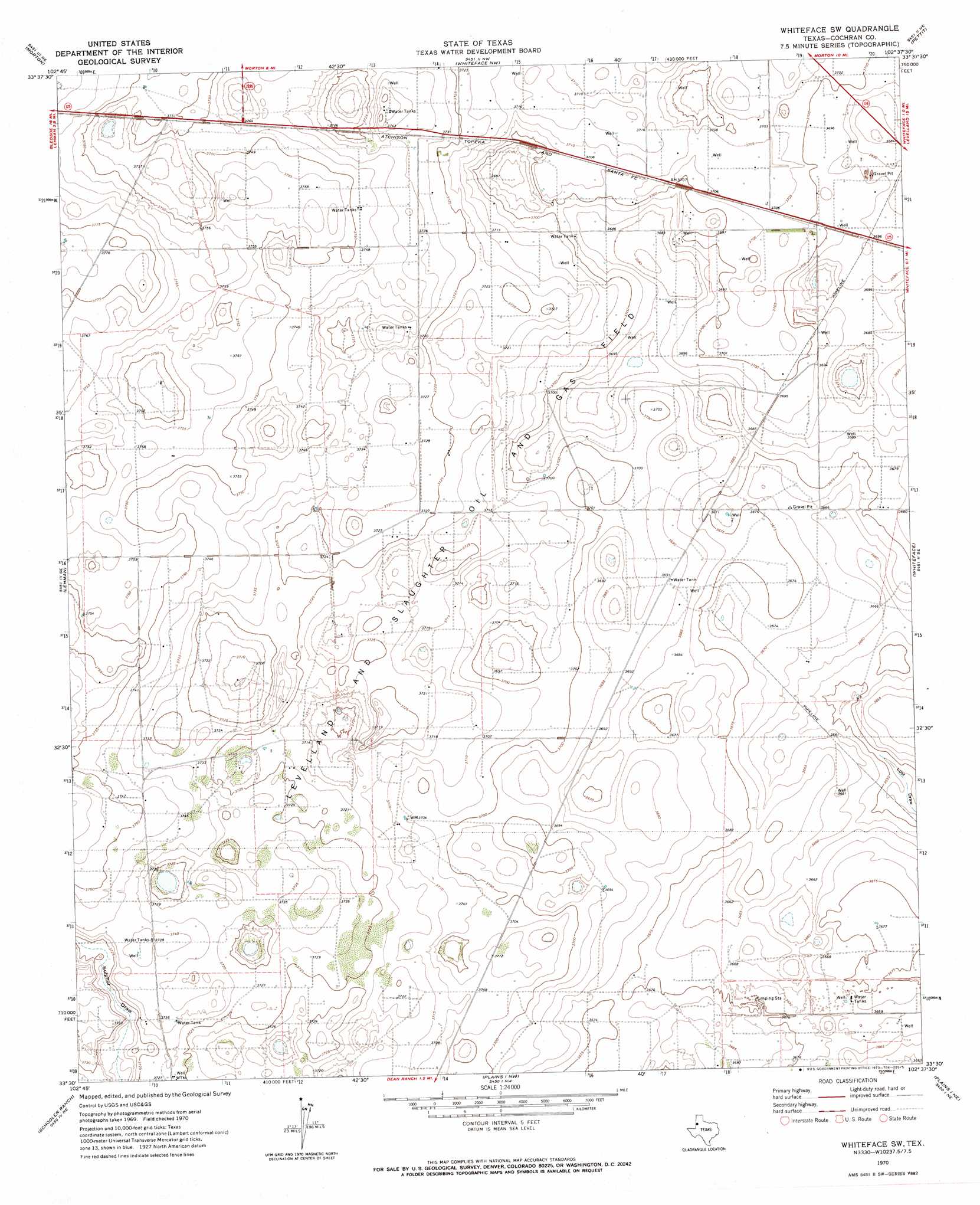
USGS Topo Quad 33102e6 - 1:24,000 scale
| Topo Map Name: | Whiteface Sw |
| USGS Topo Quad ID: | 33102e6 |
| Print Size: | ca. 21 1/4" wide x 27" high |
| Southeast Coordinates: | 33.5° N latitude / 102.625° W longitude |
| Map Center Coordinates: | 33.5625° N latitude / 102.6875° W longitude |
| U.S. State: | TX |
| Filename: | o33102e6.jpg |
| Download Map JPG Image: | Whiteface Sw topo map 1:24,000 scale |
| Map Type: | Topographic |
| Topo Series: | 7.5´ |
| Map Scale: | 1:24,000 |
| Source of Map Images: | United States Geological Survey (USGS) |
| Alternate Map Versions: |
Whiteface SW TX 1970, updated 1973 Download PDF Buy paper map Whiteface SW TX 2010 Download PDF Buy paper map Whiteface SW TX 2012 Download PDF Buy paper map Whiteface SW TX 2016 Download PDF Buy paper map |
1:24,000 Topo Quads surrounding Whiteface Sw
Maple |
Enochs |
County Line |
Pep |
Oklahoma Flat |
Morton Nw |
Morton |
Whiteface Nw |
Pettit |
Hester Ranch |
Morton Sw |
Lehman |
Whiteface Sw |
Whiteface |
Levelland West |
Two B Ranch Nw |
Schooler Ranch |
Plains 1 Nw |
Plains 1 Ne |
Sundown |
Two B Ranch Sw |
Two B Ranch |
Plains 1 Sw |
Plains 1 Se |
Pool |
> Back to 33102e1 at 1:100,000 scale
> Back to 33102a1 at 1:250,000 scale
> Back to U.S. Topo Maps home
No gazetteer data is available for the Whiteface Sw topo map sheet.
Whiteface Sw digital topo map on disk
Buy this Whiteface Sw topo map showing relief, roads, GPS coordinates and other geographical features, as a high-resolution digital map file on DVD: