Waukon Topo Map Washington
To zoom in, hover over the map of Waukon
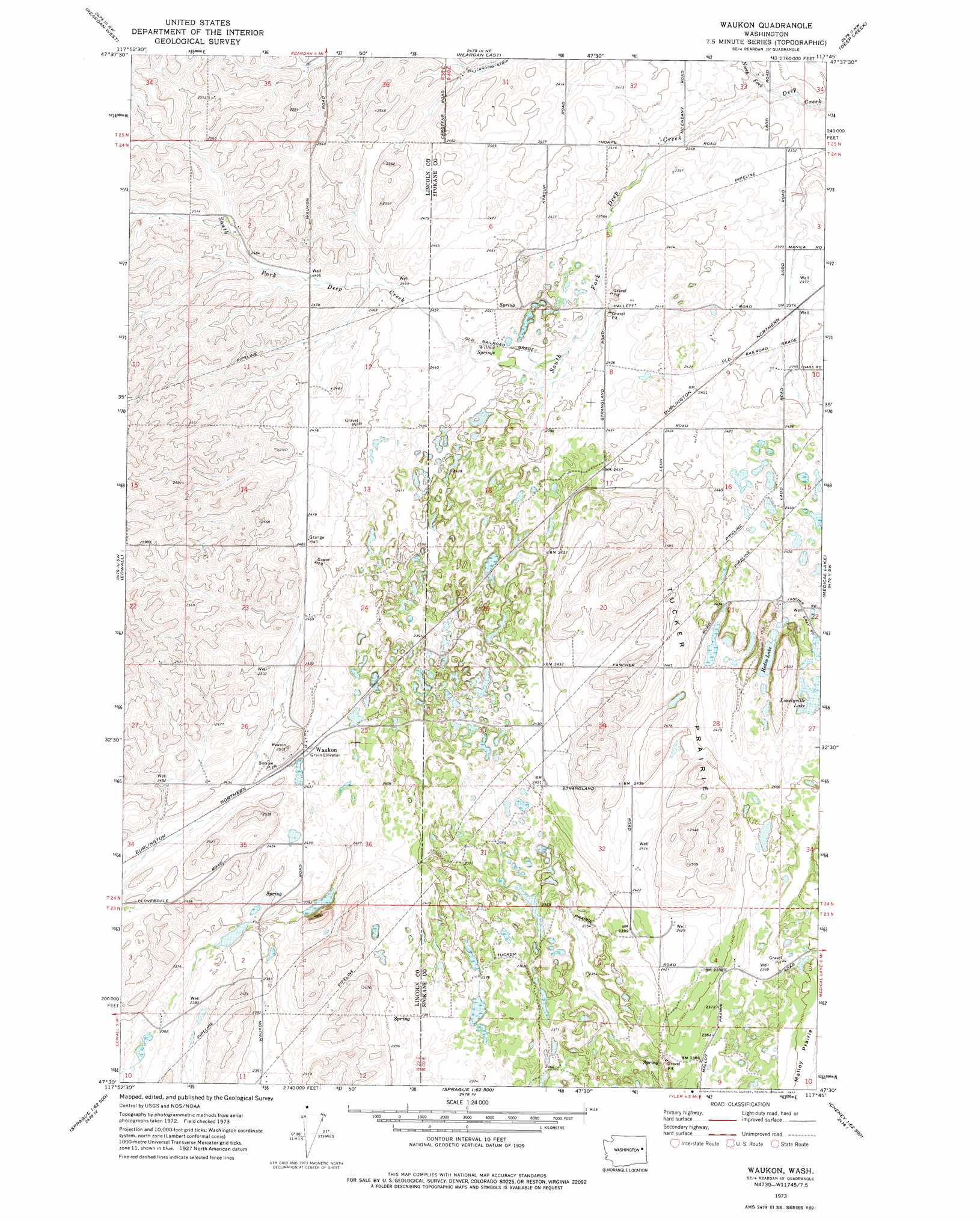
USGS Topo Quad 47117e7 - 1:24,000 scale
| Topo Map Name: | Waukon |
| USGS Topo Quad ID: | 47117e7 |
| Print Size: | ca. 21 1/4" wide x 27" high |
| Southeast Coordinates: | 47.5° N latitude / 117.75° W longitude |
| Map Center Coordinates: | 47.5625° N latitude / 117.8125° W longitude |
| U.S. State: | WA |
| Filename: | o47117e7.jpg |
| Download Map JPG Image: | Waukon topo map 1:24,000 scale |
| Map Type: | Topographic |
| Topo Series: | 7.5´ |
| Map Scale: | 1:24,000 |
| Source of Map Images: | United States Geological Survey (USGS) |
| Alternate Map Versions: |
Waukon WA 1973, updated 1977 Download PDF Buy paper map Waukon WA 2011 Download PDF Buy paper map Waukon WA 2014 Download PDF Buy paper map |
1:24,000 Topo Quads surrounding Waukon
Benjamin Lake |
Little Falls |
Long Lake |
Four Mound Prairie |
Nine Mile Falls |
Mondovi |
Reardan West |
Reardan East |
Deep Creek |
Airway Heights |
Omans |
Edwall |
Waukon |
Medical Lake |
Four Lakes |
Sprague Lake Ne |
Sassin |
Tyler |
Lance Hills |
Cheney |
Sprague Lake |
Sprague |
Fishtrap Lake |
Amber |
Chapman Lake |
> Back to 47117e1 at 1:100,000 scale
> Back to 47116a1 at 1:250,000 scale
> Back to U.S. Topo Maps home
Waukon topo map: Gazetteer
Waukon: Flats
Tucker Prairie elevation 750m 2460′Waukon: Lakes
Hedin Lake elevation 737m 2417′Lonelyville Lake elevation 738m 2421′
Waukon: Populated Places
Waukon elevation 743m 2437′Waukon: Springs
Willon Springs elevation 736m 2414′Waukon: Streams
North Fork Deep Creek elevation 711m 2332′South Fork Deep Creek elevation 711m 2332′
Waukon digital topo map on disk
Buy this Waukon topo map showing relief, roads, GPS coordinates and other geographical features, as a high-resolution digital map file on DVD: