Saspamco Se Topo Map Texas
To zoom in, hover over the map of Saspamco Se
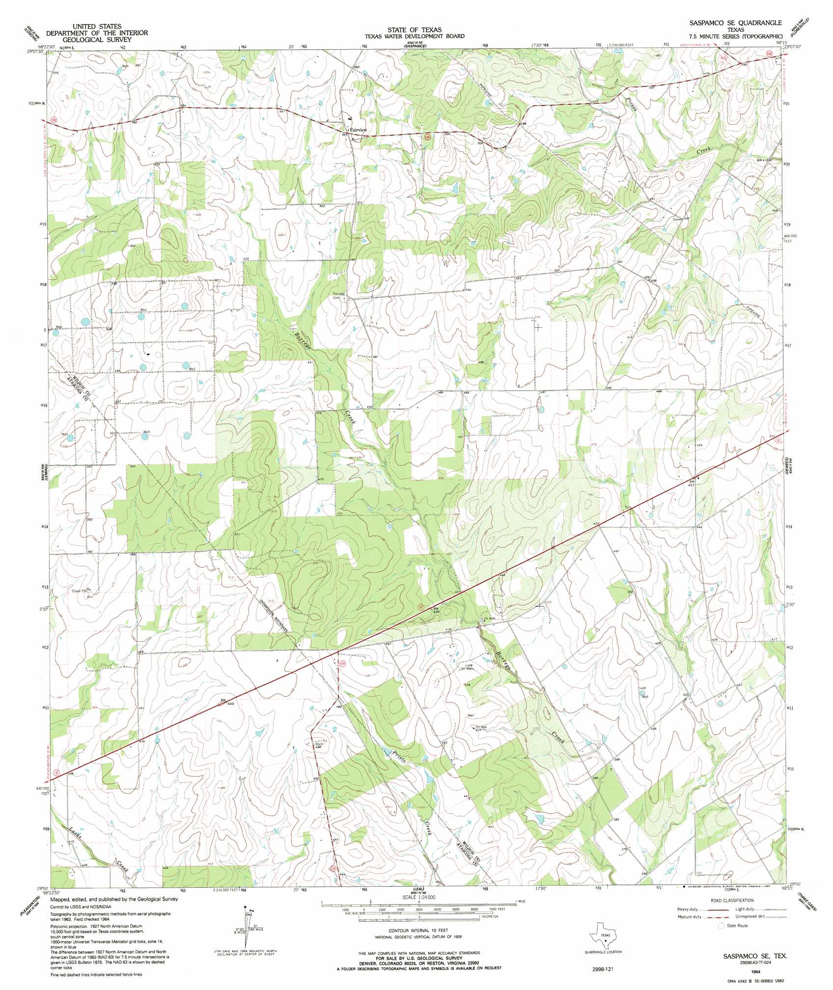
USGS Topo Quad 29098a3 - 1:24,000 scale
| Topo Map Name: | Saspamco Se |
| USGS Topo Quad ID: | 29098a3 |
| Print Size: | ca. 21 1/4" wide x 27" high |
| Southeast Coordinates: | 29° N latitude / 98.25° W longitude |
| Map Center Coordinates: | 29.0625° N latitude / 98.3125° W longitude |
| U.S. State: | TX |
| Filename: | o29098a3.jpg |
| Download Map JPG Image: | Saspamco Se topo map 1:24,000 scale |
| Map Type: | Topographic |
| Topo Series: | 7.5´ |
| Map Scale: | 1:24,000 |
| Source of Map Images: | United States Geological Survey (USGS) |
| Alternate Map Versions: |
Saspamco SE TX 1964, updated 1966 Download PDF Buy paper map Saspamco SE TX 1964, updated 1992 Download PDF Buy paper map Saspamco SE TX 2010 Download PDF Buy paper map Saspamco SE TX 2013 Download PDF Buy paper map Saspamco SE TX 2016 Download PDF Buy paper map |
1:24,000 Topo Quads surrounding Saspamco Se
Terrell Wells |
Southton |
Elmendorf |
La Vernia Sw |
La Vernia |
Thelma |
Losoya |
Saspamco |
Floresville |
Marcelinas Hills |
Poteet |
Leming |
Saspamco Se |
Dewees |
Poth |
Jourdanton |
Pleasanton |
Leal |
Three Oaks |
Falls City |
Christine West |
Christine East |
Mccoy |
Fashing |
Coy City |
> Back to 29098a1 at 1:100,000 scale
> Back to 29098a1 at 1:250,000 scale
> Back to U.S. Topo Maps home
Saspamco Se topo map: Gazetteer
Saspamco Se: Airports
Boening Brothers Airport elevation 123m 403′Ray Farm Airport elevation 179m 587′
Saspamco Se: Populated Places
Fairview elevation 168m 551′Saspamco Se digital topo map on disk
Buy this Saspamco Se topo map showing relief, roads, GPS coordinates and other geographical features, as a high-resolution digital map file on DVD: