Fort Mudge Topo Map Georgia
To zoom in, hover over the map of Fort Mudge
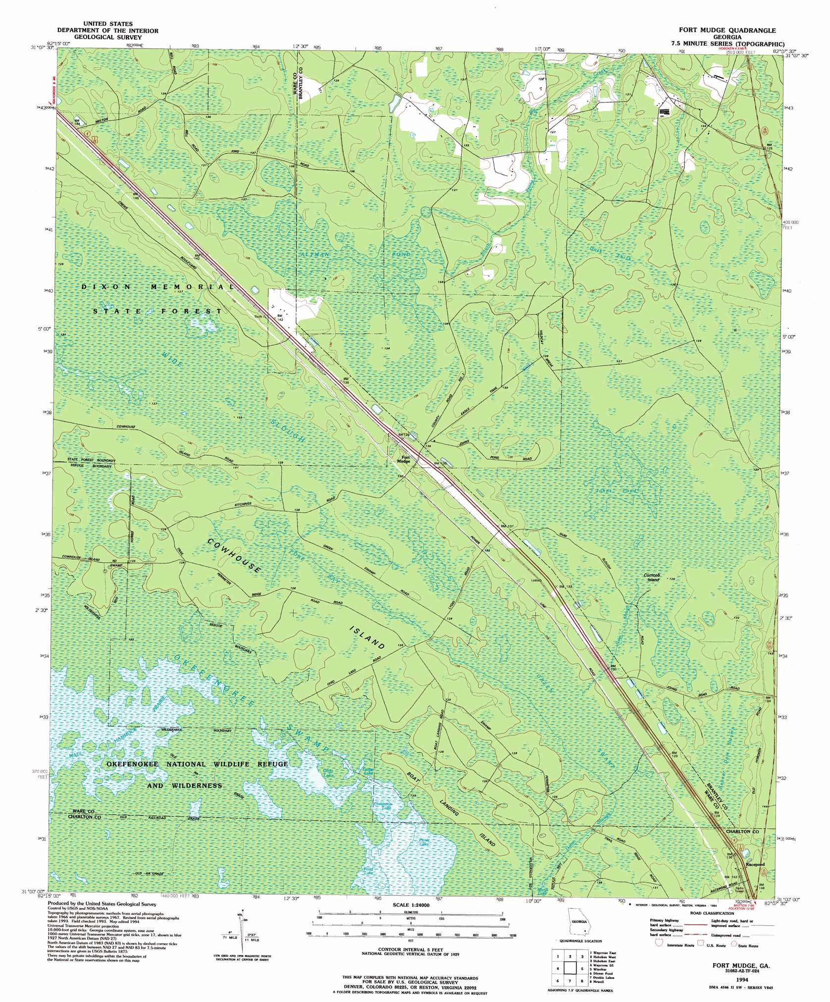
USGS Topo Quad 31082a2 - 1:24,000 scale
| Topo Map Name: | Fort Mudge |
| USGS Topo Quad ID: | 31082a2 |
| Print Size: | ca. 21 1/4" wide x 27" high |
| Southeast Coordinates: | 31° N latitude / 82.125° W longitude |
| Map Center Coordinates: | 31.0625° N latitude / 82.1875° W longitude |
| U.S. State: | GA |
| Filename: | o31082a2.jpg |
| Download Map JPG Image: | Fort Mudge topo map 1:24,000 scale |
| Map Type: | Topographic |
| Topo Series: | 7.5´ |
| Map Scale: | 1:24,000 |
| Source of Map Images: | United States Geological Survey (USGS) |
| Alternate Map Versions: |
Fort Mudge GA 1967, updated 1968 Download PDF Buy paper map Fort Mudge GA 1994, updated 1994 Download PDF Buy paper map Fort Mudge GA 2011 Download PDF Buy paper map Fort Mudge GA 2014 Download PDF Buy paper map |
1:24,000 Topo Quads surrounding Fort Mudge
Dixie Union |
Blackshear West |
Blackshear East |
Patterson Se |
Hortense |
Waycross West |
Waycross East |
Hoboken West |
Hoboken East |
Nahunta |
Waycross Sw |
Waycross Se |
Fort Mudge |
Winokur |
Boons Lake |
Cravens Island |
Dinner Pond |
Double Lakes |
Newell |
Burnt Fort |
The Pocket |
Billys Island |
Chase Prairie |
Folkston |
Boulogne |
> Back to 31082a1 at 1:100,000 scale
> Back to 31082a1 at 1:250,000 scale
> Back to U.S. Topo Maps home
Fort Mudge topo map: Gazetteer
Fort Mudge: Bays
Poke Bay elevation 38m 124′Fort Mudge: Guts
Gum Slough elevation 39m 127′Wide Slough elevation 39m 127′
Fort Mudge: Islands
Boat Landing Island elevation 38m 124′Corncob Island elevation 39m 127′
Cowhouse Island elevation 38m 124′
Fort Mudge: Lakes
Altman Pond elevation 41m 134′Christmas Lake elevation 37m 121′
Finger Lake elevation 37m 121′
Johns Pond elevation 39m 127′
Marys Lake elevation 38m 124′
Ohio Lake elevation 37m 121′
Picnic Lake elevation 37m 121′
Pond Lake elevation 37m 121′
Fort Mudge: Populated Places
Fort Mudge elevation 41m 134′Racepond elevation 45m 147′
Fort Mudge: Swamps
Beaver Dam Swamp elevation 40m 131′Dark Thick elevation 37m 121′
Green Swamp elevation 38m 124′
Maul Hammock Prairie elevation 37m 121′
Fort Mudge digital topo map on disk
Buy this Fort Mudge topo map showing relief, roads, GPS coordinates and other geographical features, as a high-resolution digital map file on DVD: