Perkins Lake Topo Map Texas
To zoom in, hover over the map of Perkins Lake
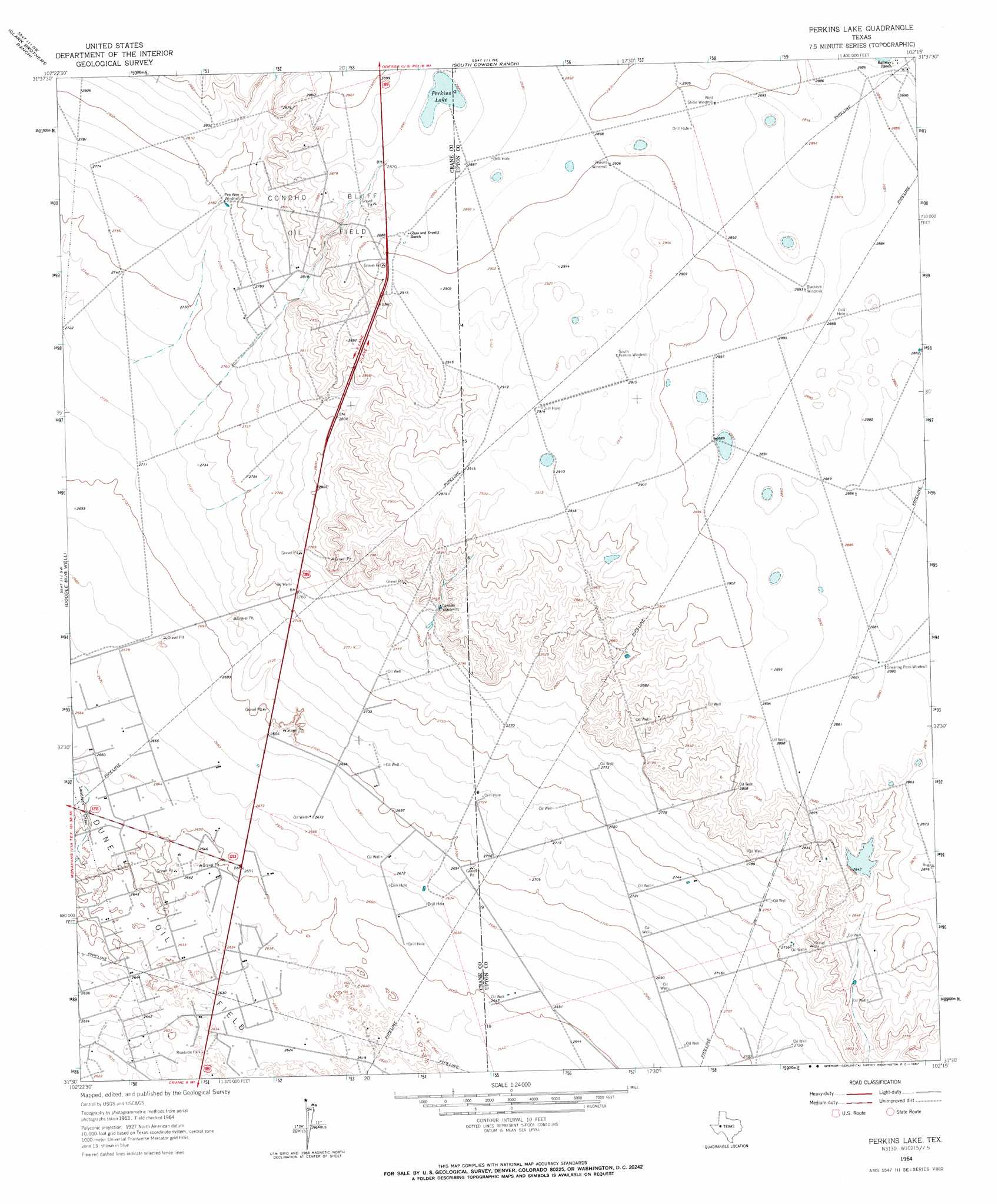
USGS Topo Quad 31102e3 - 1:24,000 scale
| Topo Map Name: | Perkins Lake |
| USGS Topo Quad ID: | 31102e3 |
| Print Size: | ca. 21 1/4" wide x 27" high |
| Southeast Coordinates: | 31.5° N latitude / 102.25° W longitude |
| Map Center Coordinates: | 31.5625° N latitude / 102.3125° W longitude |
| U.S. State: | TX |
| Filename: | o31102e3.jpg |
| Download Map JPG Image: | Perkins Lake topo map 1:24,000 scale |
| Map Type: | Topographic |
| Topo Series: | 7.5´ |
| Map Scale: | 1:24,000 |
| Source of Map Images: | United States Geological Survey (USGS) |
| Alternate Map Versions: |
Perkins Lake TX 1964, updated 1967 Download PDF Buy paper map Perkins Lake TX 2010 Download PDF Buy paper map Perkins Lake TX 2012 Download PDF Buy paper map Perkins Lake TX 2016 Download PDF Buy paper map |
1:24,000 Topo Quads surrounding Perkins Lake
Douro |
Odessa Sw |
Odessa Se |
Parks |
Bryant Ranch |
Penwell |
Clark Brothers Ranch |
South Cowden Ranch |
Benge Corner Nw |
Benge Corner |
Penwell Se |
Doodle Bug Well |
Perkins Lake |
Benge Corner Sw |
Benge Corner Se |
Tubbs Corner |
Crane Nw |
Crane |
Mcelroy Ranch |
Hanks Ranch |
Juan Cordona Lake |
Crane Sw |
Castle Gap |
Marlboro Canyon |
Marlboro Canyon Se |
> Back to 31102e1 at 1:100,000 scale
> Back to 31102a1 at 1:250,000 scale
> Back to U.S. Topo Maps home
Perkins Lake topo map: Gazetteer
Perkins Lake: Dams
McElroy Reservoir Dam elevation 862m 2828′Perkins Lake: Lakes
Perkins Lake elevation 874m 2867′Perkins Lake: Oilfields
Concho Bluff Oil Field elevation 881m 2890′Perkins Lake: Reservoirs
McElroy Reservoir elevation 862m 2828′Perkins Lake digital topo map on disk
Buy this Perkins Lake topo map showing relief, roads, GPS coordinates and other geographical features, as a high-resolution digital map file on DVD: