Paluxy Topo Map Texas
To zoom in, hover over the map of Paluxy
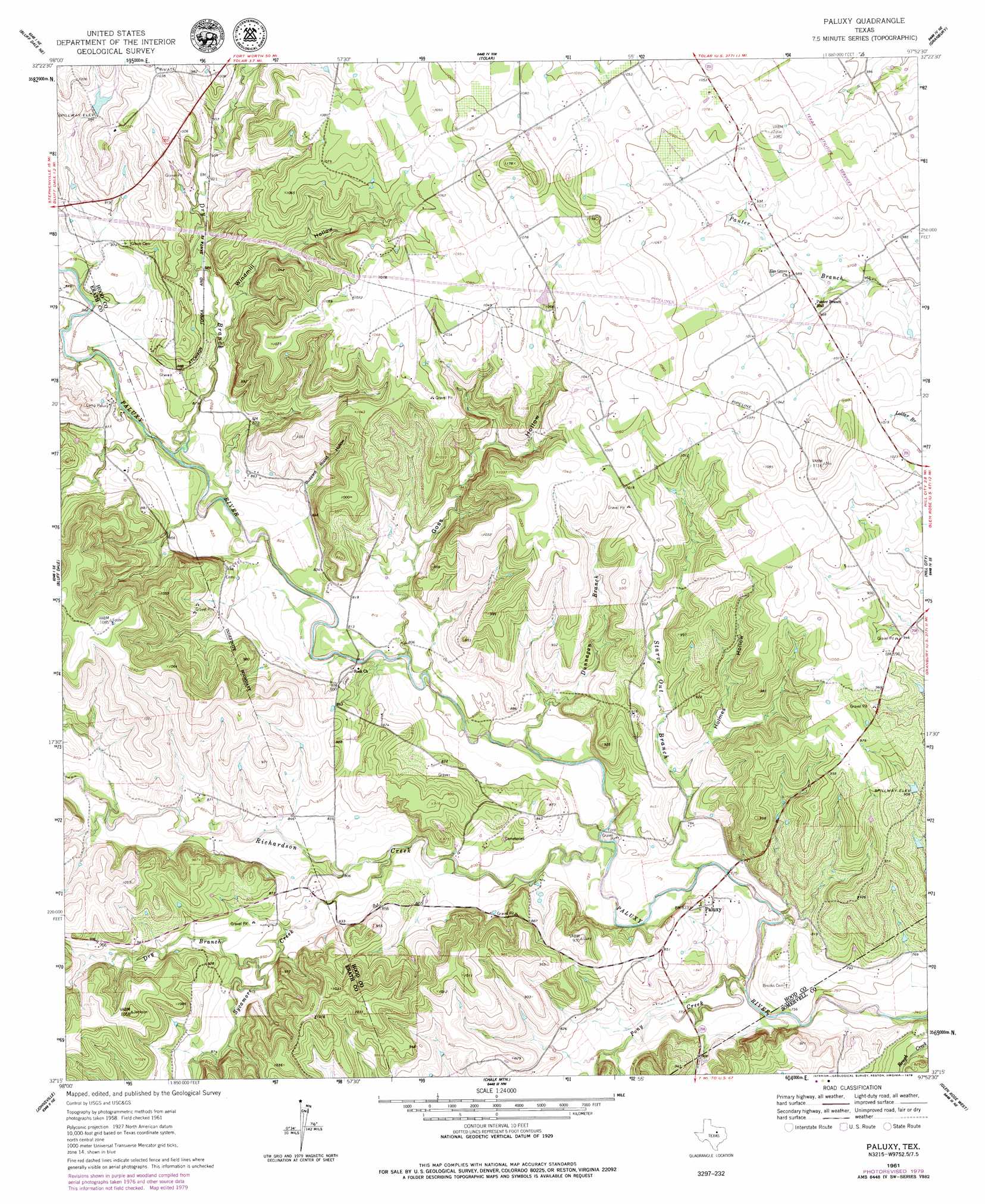
USGS Topo Quad 32097c8 - 1:24,000 scale
| Topo Map Name: | Paluxy |
| USGS Topo Quad ID: | 32097c8 |
| Print Size: | ca. 21 1/4" wide x 27" high |
| Southeast Coordinates: | 32.25° N latitude / 97.875° W longitude |
| Map Center Coordinates: | 32.3125° N latitude / 97.9375° W longitude |
| U.S. State: | TX |
| Filename: | o32097c8.jpg |
| Download Map JPG Image: | Paluxy topo map 1:24,000 scale |
| Map Type: | Topographic |
| Topo Series: | 7.5´ |
| Map Scale: | 1:24,000 |
| Source of Map Images: | United States Geological Survey (USGS) |
| Alternate Map Versions: |
Paluxy TX 1961, updated 1963 Download PDF Buy paper map Paluxy TX 1961, updated 1979 Download PDF Buy paper map Paluxy TX 2010 Download PDF Buy paper map Paluxy TX 2012 Download PDF Buy paper map Paluxy TX 2016 Download PDF Buy paper map |
1:24,000 Topo Quads surrounding Paluxy
Santo |
Lipan |
Dennis |
Tin Top |
Chapin |
Morgan Mill |
Bluff Dale Ne |
Tolar |
Granbury |
Acton |
Knob Hill |
Bluff Dale |
Paluxy |
Hill City |
Nemo |
Stephenville |
Johnsville |
Chalk Mountain |
Glen Rose West |
Glen Rose East |
Alexander |
Clairette |
Camp Branch |
Walnut Springs West |
Walnut Springs East |
> Back to 32097a1 at 1:100,000 scale
> Back to 32096a1 at 1:250,000 scale
> Back to U.S. Topo Maps home
Paluxy topo map: Gazetteer
Paluxy: Dams
Texas A and M Lake Dam elevation 296m 971′Paluxy: Populated Places
Paluxy elevation 251m 823′Paluxy: Reservoirs
Texas A and M Lake elevation 296m 971′Paluxy: Streams
Dry Branch elevation 248m 813′Dry Branch elevation 253m 830′
Dunnagan Branch elevation 236m 774′
Pony Creek elevation 226m 741′
Richardson Creek elevation 232m 761′
Starve Out Branch elevation 231m 757′
Sycamore Creek elevation 243m 797′
Paluxy: Valleys
Buzzard Roost Hollow elevation 253m 830′Goss Hollow elevation 251m 823′
Holmes Hollow elevation 242m 793′
Windmill Hollow elevation 267m 875′
Paluxy digital topo map on disk
Buy this Paluxy topo map showing relief, roads, GPS coordinates and other geographical features, as a high-resolution digital map file on DVD: