Estrella Topo Map Arizona
To zoom in, hover over the map of Estrella
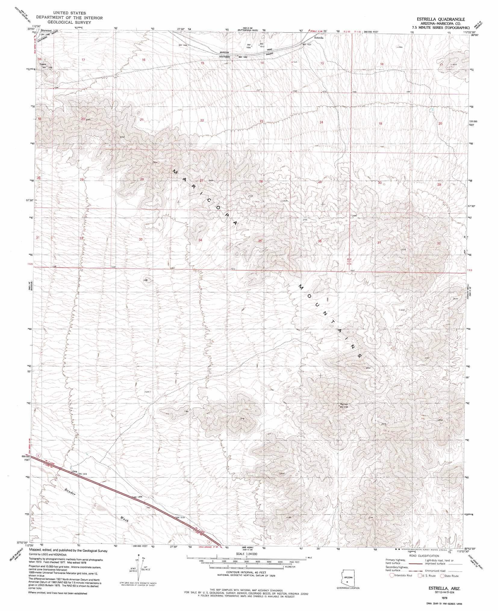
USGS Topo Quad 32112h4 - 1:24,000 scale
| Topo Map Name: | Estrella |
| USGS Topo Quad ID: | 32112h4 |
| Print Size: | ca. 21 1/4" wide x 27" high |
| Southeast Coordinates: | 32.875° N latitude / 112.375° W longitude |
| Map Center Coordinates: | 32.9375° N latitude / 112.4375° W longitude |
| U.S. State: | AZ |
| Filename: | o32112h4.jpg |
| Download Map JPG Image: | Estrella topo map 1:24,000 scale |
| Map Type: | Topographic |
| Topo Series: | 7.5´ |
| Map Scale: | 1:24,000 |
| Source of Map Images: | United States Geological Survey (USGS) |
| Alternate Map Versions: |
Estrella AZ 1979, updated 1991 Download PDF Buy paper map Estrella AZ 2011 Download PDF Buy paper map Estrella AZ 2014 Download PDF Buy paper map |
1:24,000 Topo Quads surrounding Estrella
Cotton Center Nw |
Margies Peak |
Mobile Nw |
Mobile Ne |
Montezuma Peak |
Cotton Center |
Cotton Center Se |
Butterfield Pass |
Mobile |
Enid |
Gila Bend |
Bosque |
Estrella |
Conley Well |
Haley Hills |
South Of Gila Bend |
Blue Plateau |
Big Horn |
Lost Horse Peak |
Antelope Peak |
Hat Mountain |
Platt Well |
Kaka Nw |
Johnson Well |
Little Table Top |
> Back to 32112e1 at 1:100,000 scale
> Back to 32112a1 at 1:250,000 scale
> Back to U.S. Topo Maps home
Estrella digital topo map on disk
Buy this Estrella topo map showing relief, roads, GPS coordinates and other geographical features, as a high-resolution digital map file on DVD: