Golondrina Well Topo Map New Mexico
To zoom in, hover over the map of Golondrina Well
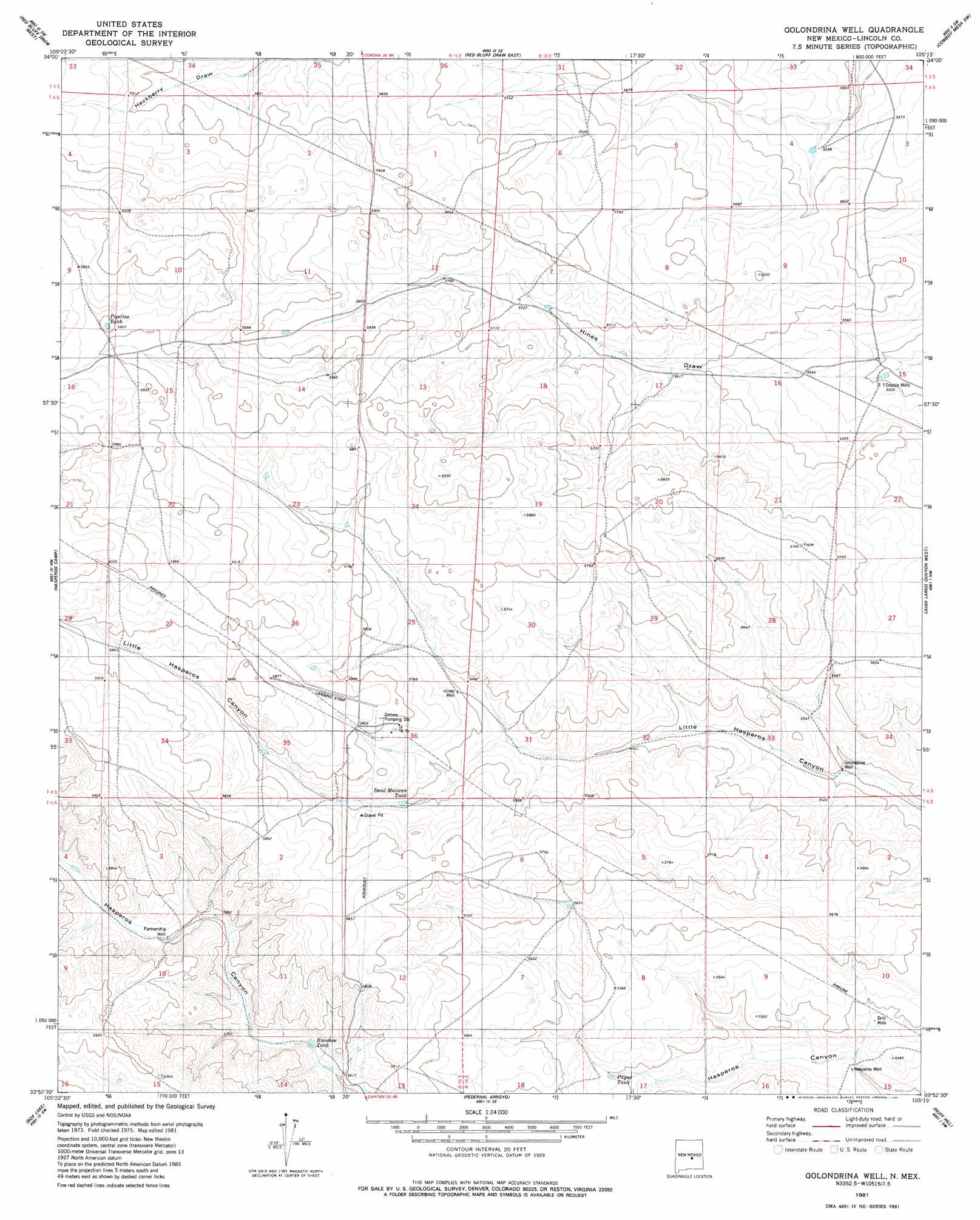
USGS Topo Quad 33105h3 - 1:24,000 scale
| Topo Map Name: | Golondrina Well |
| USGS Topo Quad ID: | 33105h3 |
| Print Size: | ca. 21 1/4" wide x 27" high |
| Southeast Coordinates: | 33.875° N latitude / 105.25° W longitude |
| Map Center Coordinates: | 33.9375° N latitude / 105.3125° W longitude |
| U.S. State: | NM |
| Filename: | o33105h3.jpg |
| Download Map JPG Image: | Golondrina Well topo map 1:24,000 scale |
| Map Type: | Topographic |
| Topo Series: | 7.5´ |
| Map Scale: | 1:24,000 |
| Source of Map Images: | United States Geological Survey (USGS) |
| Alternate Map Versions: |
Golondrina Well NM 1981, updated 1981 Download PDF Buy paper map Golondrina Well NM 2010 Download PDF Buy paper map Golondrina Well NM 2013 Download PDF Buy paper map |
1:24,000 Topo Quads surrounding Golondrina Well
Corona South |
Gallo Spring Canyon |
Gallo Spring Canyon Ne |
Cowboy Mesa Nw |
Cowboy Mesa Ne |
Pelan Hill |
Red Bluff Draw West |
Red Bluff Draw East |
Cowboy Mesa Sw |
Cowboy Mesa |
Chupadero Mountain |
Hasperos Camp |
Golondrina Well |
Juan Largo Canyon West |
Juan Largo Canyon East |
Jicarilla Peak |
Box Lake |
Pedernal Arroyo |
Huff Hill |
Cistern Draw |
Jacob Spring |
Encinoso |
Kyle Harrison Canyon |
Arroyo Serrano West |
Arroyo Serrano East |
> Back to 33105e1 at 1:100,000 scale
> Back to 33104a1 at 1:250,000 scale
> Back to U.S. Topo Maps home
Golondrina Well topo map: Gazetteer
Golondrina Well: Airports
Transwestern Pipeline Number 8 Airport elevation 1774m 5820′Golondrina Well: Reservoirs
Dead Mexican Tank elevation 1739m 5705′Pipeline Tank elevation 1799m 5902′
Rainbow Tank elevation 1715m 5626′
Golondrina Well: Wells
Golondrina Well elevation 1676m 5498′Hasperos Well elevation 1659m 5442′
Hines Well elevation 1736m 5695′
Partnership Well elevation 1739m 5705′
Payne Well elevation 1678m 5505′
Golondrina Well digital topo map on disk
Buy this Golondrina Well topo map showing relief, roads, GPS coordinates and other geographical features, as a high-resolution digital map file on DVD: