Hartley Se Topo Map Texas
To zoom in, hover over the map of Hartley Se
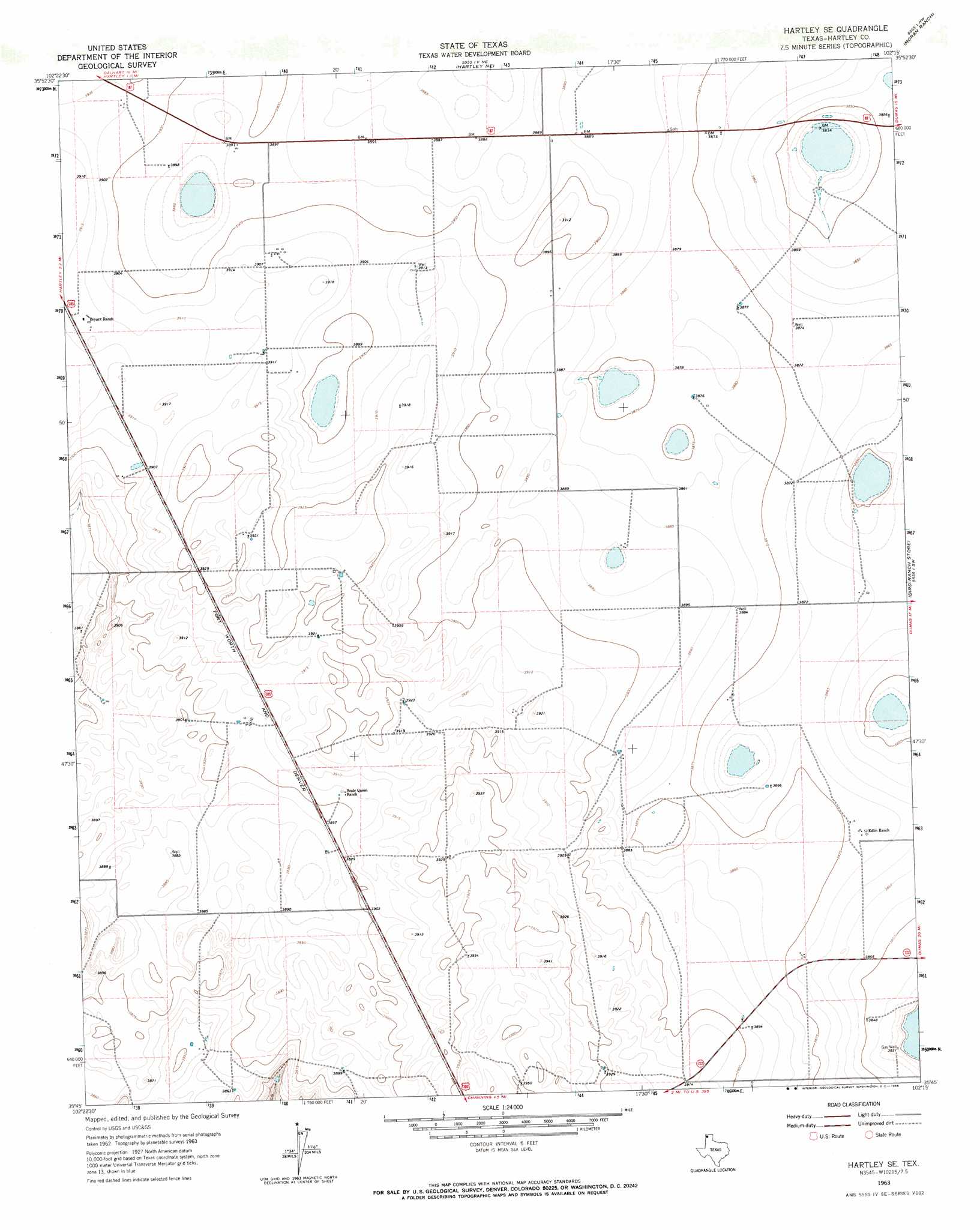
USGS Topo Quad 35102g3 - 1:24,000 scale
| Topo Map Name: | Hartley Se |
| USGS Topo Quad ID: | 35102g3 |
| Print Size: | ca. 21 1/4" wide x 27" high |
| Southeast Coordinates: | 35.75° N latitude / 102.25° W longitude |
| Map Center Coordinates: | 35.8125° N latitude / 102.3125° W longitude |
| U.S. State: | TX |
| Filename: | o35102g3.jpg |
| Download Map JPG Image: | Hartley Se topo map 1:24,000 scale |
| Map Type: | Topographic |
| Topo Series: | 7.5´ |
| Map Scale: | 1:24,000 |
| Source of Map Images: | United States Geological Survey (USGS) |
| Alternate Map Versions: |
Hartley SE TX 1963, updated 1966 Download PDF Buy paper map Hartley SE TX 2010 Download PDF Buy paper map Hartley SE TX 2012 Download PDF Buy paper map Hartley SE TX 2016 Download PDF Buy paper map |
1:24,000 Topo Quads surrounding Hartley Se
Dalhart West |
Dalhart East |
Wilco |
Exum |
Cactus West |
Pardue Camp |
Hartley |
Hartley Ne |
Moran Ranch |
Stallwitz Lake Ne |
King Se |
Hartley Sw |
Hartley Se |
Bird Ranch Store |
Stallwitz Lake |
Proctor Ranch |
Channing Nw |
Channing |
Bivins Channing Ranch |
Bautista |
Many Post Camp |
Torrey House |
Boys Ranch West |
Boys Ranch East |
Little Indian Creek |
> Back to 35102e1 at 1:100,000 scale
> Back to 35102a1 at 1:250,000 scale
> Back to U.S. Topo Maps home
No gazetteer data is available for the Hartley Se topo map sheet.
Hartley Se digital topo map on disk
Buy this Hartley Se topo map showing relief, roads, GPS coordinates and other geographical features, as a high-resolution digital map file on DVD: