Dead Horse Ridge Topo Map Nevada
To zoom in, hover over the map of Dead Horse Ridge
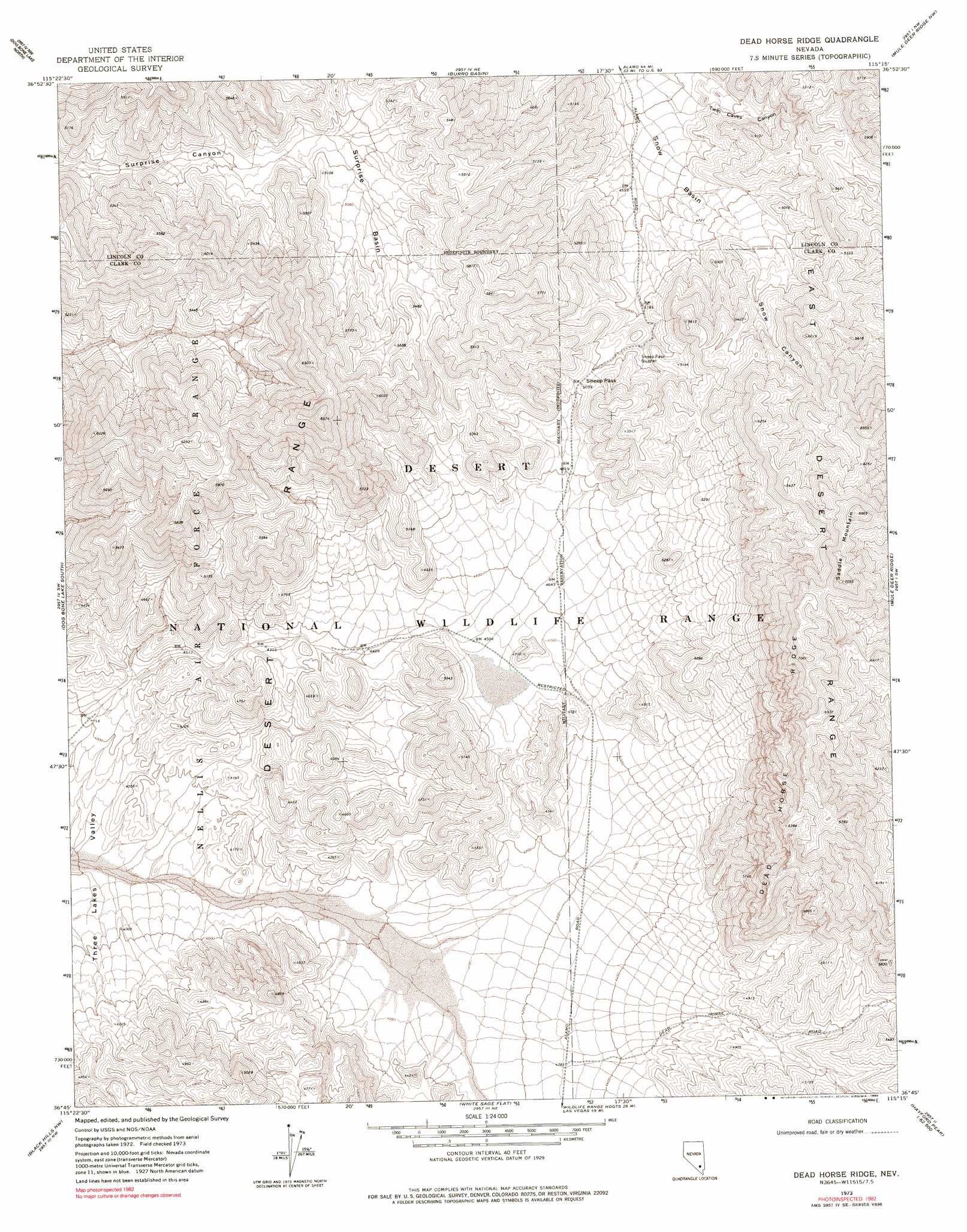
USGS Topo Quad 36115g3 - 1:24,000 scale
| Topo Map Name: | Dead Horse Ridge |
| USGS Topo Quad ID: | 36115g3 |
| Print Size: | ca. 21 1/4" wide x 27" high |
| Southeast Coordinates: | 36.75° N latitude / 115.25° W longitude |
| Map Center Coordinates: | 36.8125° N latitude / 115.3125° W longitude |
| U.S. State: | NV |
| Filename: | o36115g3.jpg |
| Download Map JPG Image: | Dead Horse Ridge topo map 1:24,000 scale |
| Map Type: | Topographic |
| Topo Series: | 7.5´ |
| Map Scale: | 1:24,000 |
| Source of Map Images: | United States Geological Survey (USGS) |
| Alternate Map Versions: |
Dead Horse Ridge NV 1973, updated 1976 Download PDF Buy paper map Dead Horse Ridge NV 1973, updated 1990 Download PDF Buy paper map |
1:24,000 Topo Quads surrounding Dead Horse Ridge
Southeastern Mine |
Desert Hills Sw |
Desert Hills Se |
Lower Pahranagat Lake Sw |
Lower Pahranagat Lake Se |
Quartz Peak |
Dog Bone Lake North |
Burro Basin |
Mule Deer Ridge Nw |
Mule Deer Ridge Ne |
Tim Spring |
Dog Bone Lake South |
Dead Horse Ridge |
Mule Deer Ridge |
Mule Deer Ridge Se |
Heavens Well |
Black Hills Nw |
White Sage Flat |
Hayford Peak |
Mormon Well |
Indian Springs Se |
Black Hills Sw |
Black Hills |
Sheep Peak |
Hayford Peak Se |
> Back to 36115e1 at 1:100,000 scale
> Back to 36114a1 at 1:250,000 scale
> Back to U.S. Topo Maps home
Dead Horse Ridge topo map: Gazetteer
Dead Horse Ridge: Basins
Snow Basin elevation 1393m 4570′Surprise Basin elevation 1545m 5068′
Dead Horse Ridge: Gaps
Sheep Pass elevation 1548m 5078′Dead Horse Ridge: Ranges
Desert Range elevation 1901m 6236′East Desert Range elevation 1684m 5524′
Dead Horse Ridge: Reservoirs
Sheep Pass Guzzler elevation 1532m 5026′Dead Horse Ridge: Ridges
Dead Horse Ridge elevation 1879m 6164′Dead Horse Ridge: Summits
Saddle Mountain elevation 2126m 6975′Dead Horse Ridge: Valleys
Snow Canyon elevation 1526m 5006′Twin Caves Canyon elevation 1359m 4458′
Dead Horse Ridge digital topo map on disk
Buy this Dead Horse Ridge topo map showing relief, roads, GPS coordinates and other geographical features, as a high-resolution digital map file on DVD:
Southern Sierra Nevada, California & Southern Nevada
Buy digital topo maps: Southern Sierra Nevada, California & Southern Nevada