Morrison Topo Map Wisconsin
To zoom in, hover over the map of Morrison
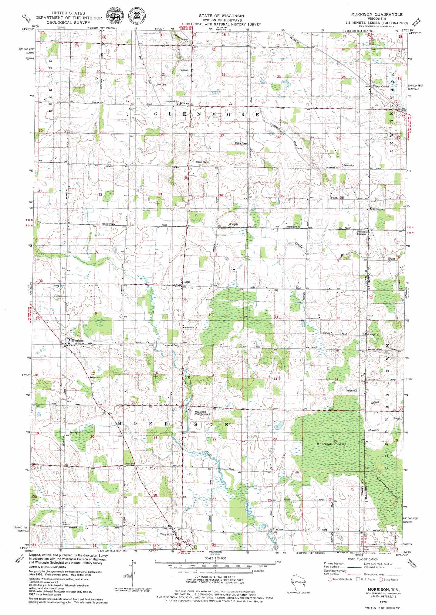
USGS Topo Quad 44087c8 - 1:24,000 scale
| Topo Map Name: | Morrison |
| USGS Topo Quad ID: | 44087c8 |
| Print Size: | ca. 21 1/4" wide x 27" high |
| Southeast Coordinates: | 44.25° N latitude / 87.875° W longitude |
| Map Center Coordinates: | 44.3125° N latitude / 87.9375° W longitude |
| U.S. State: | WI |
| Filename: | o44087c8.jpg |
| Download Map JPG Image: | Morrison topo map 1:24,000 scale |
| Map Type: | Topographic |
| Topo Series: | 7.5´ |
| Map Scale: | 1:24,000 |
| Source of Map Images: | United States Geological Survey (USGS) |
| Alternate Map Versions: |
Morrison WI 1978, updated 1979 Download PDF Buy paper map Morrison WI 1992, updated 1996 Download PDF Buy paper map Morrison WI 2010 Download PDF Buy paper map Morrison WI 2013 Download PDF Buy paper map Morrison WI 2015 Download PDF Buy paper map |
1:24,000 Topo Quads surrounding Morrison
Oneida North |
Green Bay West |
Green Bay East |
New Franken |
Luxemburg |
Oneida South |
De Pere |
Bellevue |
Poland |
Stangelville |
Wrightstown |
Greenleaf |
Morrison |
Denmark |
Larrabee |
Hilbert |
Brillion |
Reedsville |
Whitelaw |
Mishicot |
Chilton |
Potter |
Valders |
Clarks Mills |
Manitowoc |
> Back to 44087a1 at 1:100,000 scale
> Back to 44086a1 at 1:250,000 scale
> Back to U.S. Topo Maps home
Morrison topo map: Gazetteer
Morrison: Airports
Buchholz Farm Airport elevation 289m 948′Otto-Gibbons Airport elevation 259m 849′
Morrison: Parks
Way-Morr County Park elevation 258m 846′Morrison: Populated Places
Lark elevation 282m 925′Morrison elevation 281m 921′
Shirley elevation 287m 941′
Wayside elevation 263m 862′
Morrison: Swamps
Morrison Swamp elevation 260m 853′Morrison digital topo map on disk
Buy this Morrison topo map showing relief, roads, GPS coordinates and other geographical features, as a high-resolution digital map file on DVD: