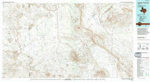
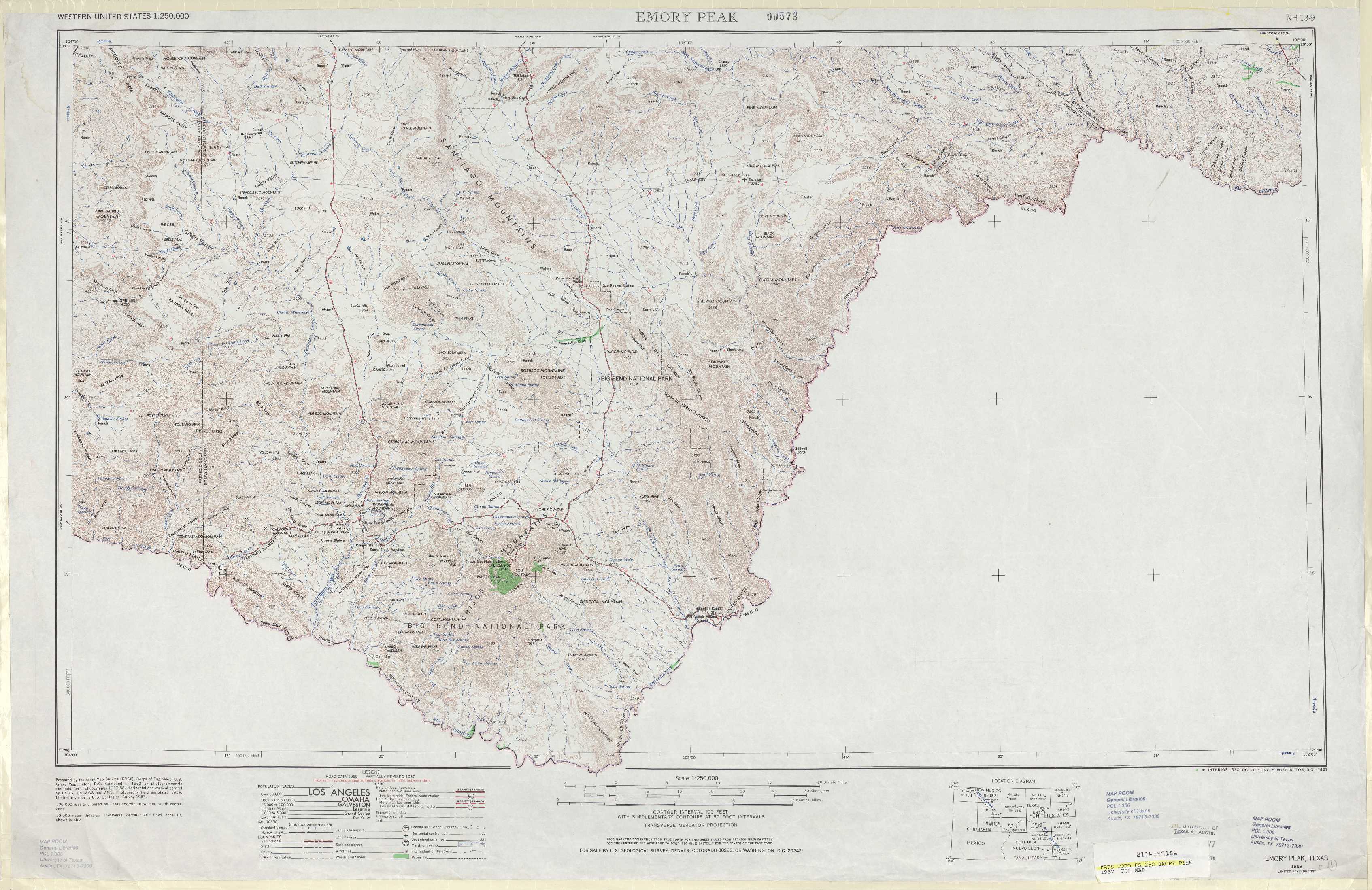
Emory Peak Topo Map Texas
To zoom in, hover over the map of Emory Peak
USGS Topo Map 29102a1 - 1:250,000 scale
| Topo Map Name: | Emory Peak |
| USGS Topo Quad ID: | 29102a1 |
| Print Size: | ca. 32" wide x 22 1/2" high |
| Southeast Coordinates: | 29° N latitude / 102° W longitude |
| Map Center Coordinates: | 29.5° N latitude / 103° W longitude |
| U.S. State: | TX |
| Filename: | 29102a1.jpg |
| Download Map JPG Image: | Emory Peak topo map 1:250,000 scale |
| Map Type: | Topographic |
| Topo Series: | 1°x2° |
| Map Scale: | 1:250,000 |
| Source of Map Images: | United States Geological Survey (USGS) |
| Alternate Map Versions: |
Emory Peak TX 1959, updated 1967 Download PDF Buy paper map Emory Peak TX 1959, updated 1974 Download PDF Buy paper map Emory Peak TX 1959, updated 1978 Download PDF Buy paper map Emory Peak TX 1965 Download PDF Buy paper map |
1:250,000 Topos surrounding Emory Peak
Marfa TX |
Ft Stockton TX |
Sonora TX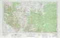 |
Presidio TX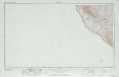 |
Emory Peak TX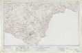 |
Del Rio TX |
Eagle Pass TX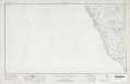 |
> Back to U.S. Topo Maps home
1:100,000 Topo Maps covered by the spatial extent of this 250k map (Emory Peak)
Santiago Mountains TX |
Dove Mountain TX |
Chisos Mountains TX |
Boquillas TX |