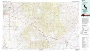
Bakersfield Topo Map California
To zoom in, hover over the map of Bakersfield
USGS Topo Map 35118a1 - 1:250,000 scale
| Topo Map Name: | Bakersfield |
| USGS Topo Quad ID: | 35118a1 |
| Print Size: | ca. 32" wide x 22 1/2" high |
| Southeast Coordinates: | 35° N latitude / 118° W longitude |
| Map Center Coordinates: | 35.5° N latitude / 119° W longitude |
| U.S. State: | CA |
| Filename: | 35118a1.jpg |
| Download Map JPG Image: | Bakersfield topo map 1:250,000 scale |
| Map Type: | Topographic |
| Topo Series: | 1°x2° |
| Map Scale: | 1:250,000 |
| Source of Map Images: | United States Geological Survey (USGS) |
| Alternate Map Versions: |
Bakersfield CA 1948, updated 1948 Download PDF Buy paper map Bakersfield CA 1948, updated 1948 Download PDF Buy paper map Bakersfield CA 1955, updated 1955 Download PDF Buy paper map Bakersfield CA 1956 Download PDF Buy paper map Bakersfield CA 1960, updated 1960 Download PDF Buy paper map Bakersfield CA 1960, updated 1960 Download PDF Buy paper map Bakersfield CA 1962, updated 1969 Download PDF Buy paper map Bakersfield CA 1962, updated 1973 Download PDF Buy paper map Bakersfield CA 1962, updated 1973 Download PDF Buy paper map Bakersfield CA 1962, updated 1973 Download PDF Buy paper map Bakersfield CA 1966, updated 1966 Download PDF Buy paper map |
1:250,000 Topos surrounding Bakersfield
Monterey CA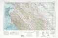 |
Fresno CA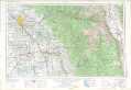 |
Death Valley CA, NV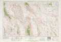 |
San Luis Obispo CA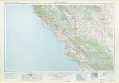 |
Bakersfield CA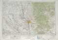 |
Trona CA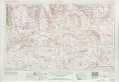 |
Santa Maria CA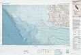 |
Los Angeles CA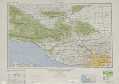 |
San Bernardino CA |
> Back to U.S. Topo Maps home
1:100,000 Topo Maps covered by the spatial extent of this 250k map (Bakersfield)
Delano CA |
Isabella Lake CA |
Taft CA |
Tehachapi CA |