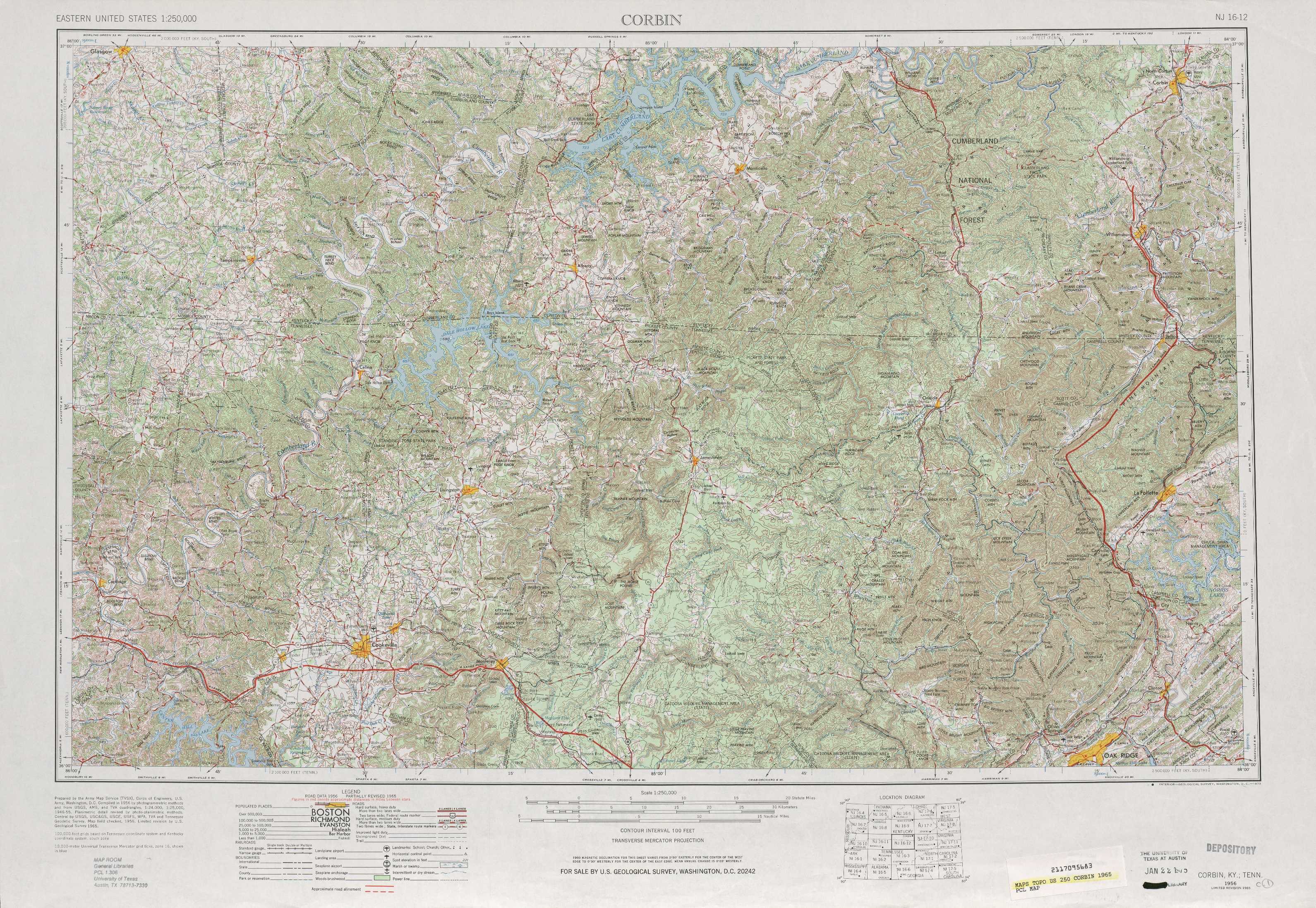
Corbin Topo Map Tennessee
To zoom in, hover over the map of Corbin
USGS Topo Map 36084a1 - 1:250,000 scale
| Topo Map Name: | Corbin |
| USGS Topo Quad ID: | 36084a1 |
| Print Size: | ca. 32" wide x 22 1/2" high |
| Southeast Coordinates: | 36° N latitude / 84° W longitude |
| Map Center Coordinates: | 36.5° N latitude / 85° W longitude |
| U.S. States: | TN, KY |
| Filename: | 36084a1.jpg |
| Download Map JPG Image: | Corbin topo map 1:250,000 scale |
| Map Type: | Topographic |
| Topo Series: | 1°x2° |
| Map Scale: | 1:250,000 |
| Source of Map Images: | United States Geological Survey (USGS) |
| Alternate Map Versions: |
Corbin KY 1956, updated 1966 Download PDF Buy paper map Corbin KY 1956, updated 1973 Download PDF Buy paper map Corbin KY 1956, updated 1981 Download PDF Buy paper map Corbin KY 1958 Download PDF Buy paper map |
1:250,000 Topos surrounding Corbin
Evansville KY, IN |
Winchester KY |
Jenkins KY, VA, WV |
Nashville TN, KY |
Corbin TN, KY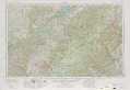 |
Johnson City TN, VA, KY, NC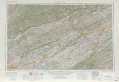 |
Columbia TN, AL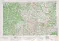 |
Chattanooga TN, NC |
Knoxville NC, TN, SC |
> Back to U.S. Topo Maps home
1:100,000 Topo Maps covered by the spatial extent of this 250k map (Corbin)
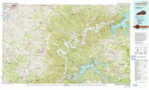
Tompkinsville KY, TN |
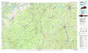
Corbin KY, TN |
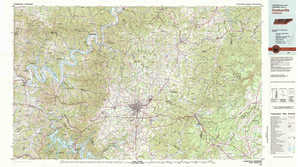
Cookeville TN |
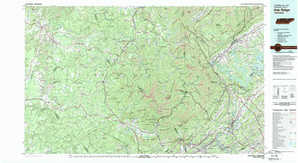
Oak Ridge TN |