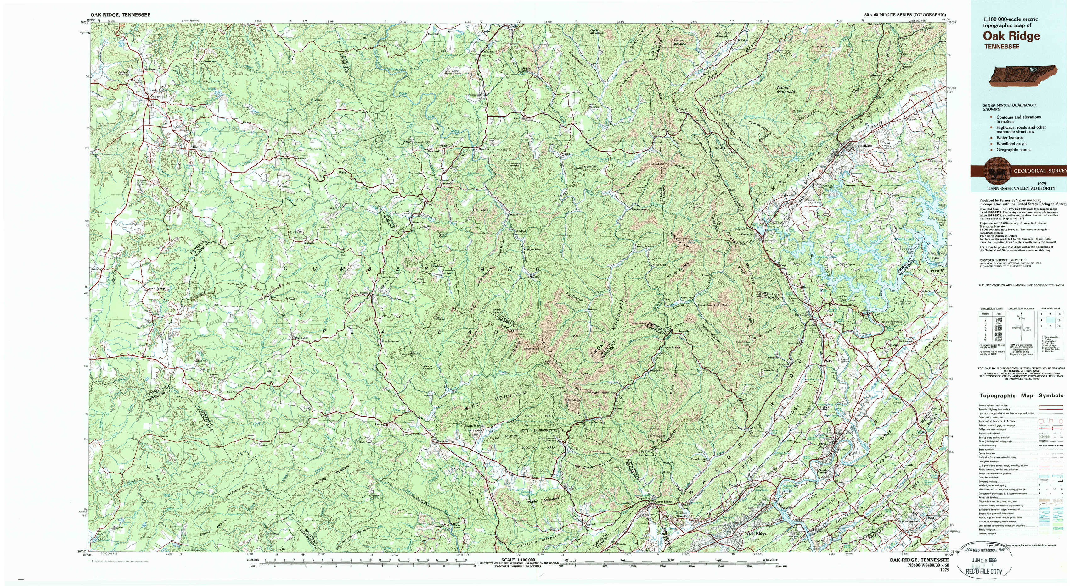
Oak Ridge Topo Map Tennessee
To zoom in, hover over the map of Oak Ridge
USGS Topo Map 36084a1 - 1:100,000 scale
| Topo Map Name: | Oak Ridge |
| USGS Topo Quad ID: | 36084a1 |
| Print Size: | ca. 39" wide x 24" high |
| Southeast Coordinates: | 36° N latitude / 84° W longitude |
| Map Center Coordinates: | 36.25° N latitude / 84.5° W longitude |
| U.S. State: | TN |
| Filename: | 36084a1.jpg |
| Download Map JPG Image: | Oak Ridge topo map 1:100,000 scale |
| Map Type: | Topographic |
| Topo Series: | 30´x60´ |
| Map Scale: | 1:100,000 |
| Source of Map Images: | United States Geological Survey (USGS) |
| Alternate Map Versions: |
Oakridge TN 1979, updated 1980 Download PDF Buy paper map |
1:100,000 Topos surrounding Oak Ridge
Tompkinsville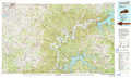 |
Corbin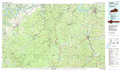 |
Middlesboro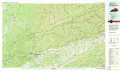 |
Cookeville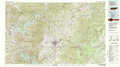 |
Oak Ridge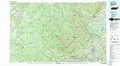 |
Morristown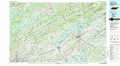 |
Mc Minnville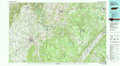 |
Watts Bar Lake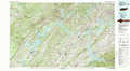 |
Knoxville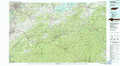 |
> Back to 36084a1 at 1:250,000 scale
> Back to U.S. Topo Maps home
1:24,000 Topo Quads covered by the spatial extent of this 100k map (Oak Ridge)
|
Jamestown 
|
Stockton 
|
Honey Creek 
|
Oneida South 
|
Huntsville 
|
Pioneer 
|
Ivydell 
|
La Follette 
|
|
Grimsley 
|
Burrville 
|
Rugby 
|
Robbins 
|
Norma 
|
Block 
|
Jacksboro 
|
Demory 
|
|
Jones Knob 
|
Twin Bridges 
|
Pilot Mountain 
|
Gobey 
|
Fork Mountain 
|
Duncan Flats 
|
Lake City 
|
Norris 
|
|
Fox Creek 
|
Hebbertsburg 
|
Lancing 
|
Camp Austin 
|
Petros 
|
Windrock 
|
Clinton 
|
Powell 
|