Wylliesburg Topo Map Virginia
To zoom in, hover over the map of Wylliesburg
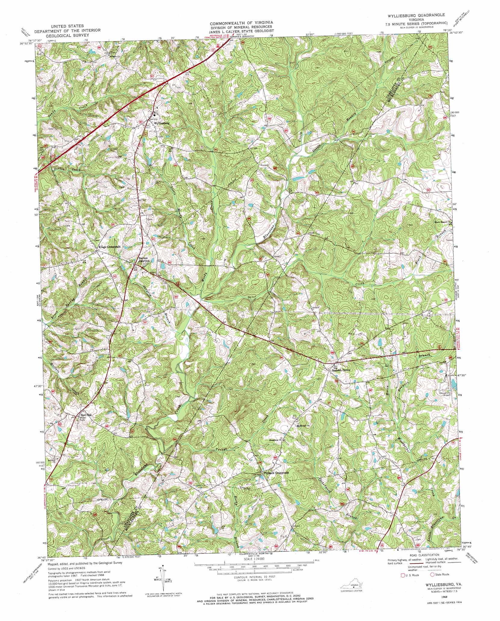
USGS Topo Quad 36078g5 - 1:24,000 scale
| Topo Map Name: | Wylliesburg |
| USGS Topo Quad ID: | 36078g5 |
| Print Size: | ca. 21 1/4" wide x 27" high |
| Southeast Coordinates: | 36.75° N latitude / 78.5° W longitude |
| Map Center Coordinates: | 36.8125° N latitude / 78.5625° W longitude |
| U.S. State: | VA |
| Filename: | o36078g5.jpg |
| Download Map JPG Image: | Wylliesburg topo map 1:24,000 scale |
| Map Type: | Topographic |
| Topo Series: | 7.5´ |
| Map Scale: | 1:24,000 |
| Source of Map Images: | United States Geological Survey (USGS) |
| Alternate Map Versions: |
Wylliesburg VA 1968, updated 1972 Download PDF Buy paper map Wylliesburg VA 2010 Download PDF Buy paper map Wylliesburg VA 2013 Download PDF Buy paper map Wylliesburg VA 2016 Download PDF Buy paper map |
1:24,000 Topo Quads surrounding Wylliesburg
Aspen |
Charlotte Court House |
Eureka |
Keysville |
Meherrin |
Conner Lake |
Saxe |
Drakes Branch |
Fort Mitchell |
Lunenburg |
Scottsburg |
Clover |
Wylliesburg |
Chase City |
Wightman |
Omega |
Buffalo Springs |
Clarksville North |
Boydton |
Baskerville |
Virgilina |
Nelson |
Clarksville South |
Tungsten |
John H Kerr Dam |
> Back to 36078e1 at 1:100,000 scale
> Back to 36078a1 at 1:250,000 scale
> Back to U.S. Topo Maps home
Wylliesburg topo map: Gazetteer
Wylliesburg: Airports
Chase City Municipal Airport elevation 148m 485′Wylliesburg: Populated Places
Barnes Junction elevation 142m 465′Kings Crossroads elevation 144m 472′
Philbeck Crossroads elevation 149m 488′
Spanish Grove elevation 168m 551′
Wylliesburg elevation 160m 524′
Wylliesburg: Post Offices
Red Oak Post Office elevation 138m 452′Wylliesburg Post Office elevation 162m 531′
Wylliesburg: Streams
Black Branch elevation 138m 452′Brewers Branch elevation 119m 390′
Devils Branch elevation 124m 406′
Hazen Branch elevation 120m 393′
Little Moody Creek elevation 117m 383′
Moody Creek elevation 113m 370′
Otter Creek elevation 112m 367′
Tanyard Branch elevation 112m 367′
Woodpecker Creek elevation 108m 354′
Yerbys Creek elevation 106m 347′
Wylliesburg digital topo map on disk
Buy this Wylliesburg topo map showing relief, roads, GPS coordinates and other geographical features, as a high-resolution digital map file on DVD:
Western Virginia & Southern West Virginia
Buy digital topo maps: Western Virginia & Southern West Virginia