Pidgeon Spring Se Topo Map Nevada
To zoom in, hover over the map of Pidgeon Spring Se
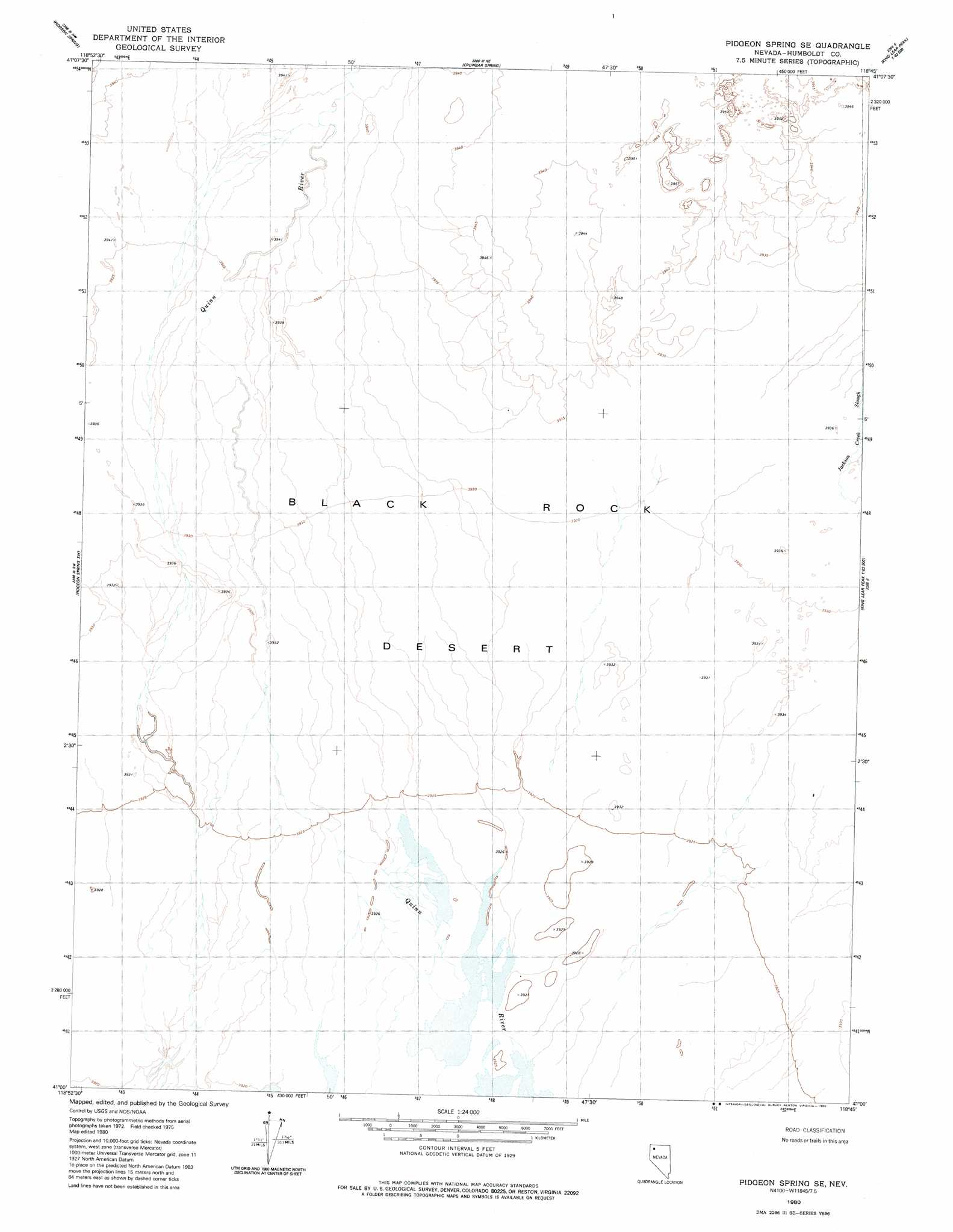
USGS Topo Quad 41118a7 - 1:24,000 scale
| Topo Map Name: | Pidgeon Spring Se |
| USGS Topo Quad ID: | 41118a7 |
| Print Size: | ca. 21 1/4" wide x 27" high |
| Southeast Coordinates: | 41° N latitude / 118.75° W longitude |
| Map Center Coordinates: | 41.0625° N latitude / 118.8125° W longitude |
| U.S. State: | NV |
| Filename: | o41118a7.jpg |
| Download Map JPG Image: | Pidgeon Spring Se topo map 1:24,000 scale |
| Map Type: | Topographic |
| Topo Series: | 7.5´ |
| Map Scale: | 1:24,000 |
| Source of Map Images: | United States Geological Survey (USGS) |
| Alternate Map Versions: |
Pidgeon Spring SE NV 1980, updated 1980 Download PDF Buy paper map Pidgeon Spring SE NV 2011 Download PDF Buy paper map Pidgeon Spring SE NV 2015 Download PDF Buy paper map |
1:24,000 Topo Quads surrounding Pidgeon Spring Se
Big Mountain |
Paiute Meadows |
Pinto Mountain |
Leonard Cr Slough South |
Hobo Canyon |
Clapper Creek |
Pidgeon Spring |
Crowbar Spring |
King Lear Peak Nw |
King Lear Peak |
Double Hot Springs |
Pidgeon Spring Sw |
Pidgeon Spring Se |
Salt Water Spring |
Red Butte |
Black Rock Point West |
Black Rock Point East |
Rabbithole Ne |
Floka |
Sugarloaf Knob |
Trego Hot Springs |
Cholona |
Rabbithole |
Sulphur |
Sawtooth Knob |
> Back to 41118a1 at 1:100,000 scale
> Back to 41118a1 at 1:250,000 scale
> Back to U.S. Topo Maps home
No gazetteer data is available for the Pidgeon Spring Se topo map sheet.
Pidgeon Spring Se digital topo map on disk
Buy this Pidgeon Spring Se topo map showing relief, roads, GPS coordinates and other geographical features, as a high-resolution digital map file on DVD: