Shot Point Topo Map Michigan
To zoom in, hover over the map of Shot Point
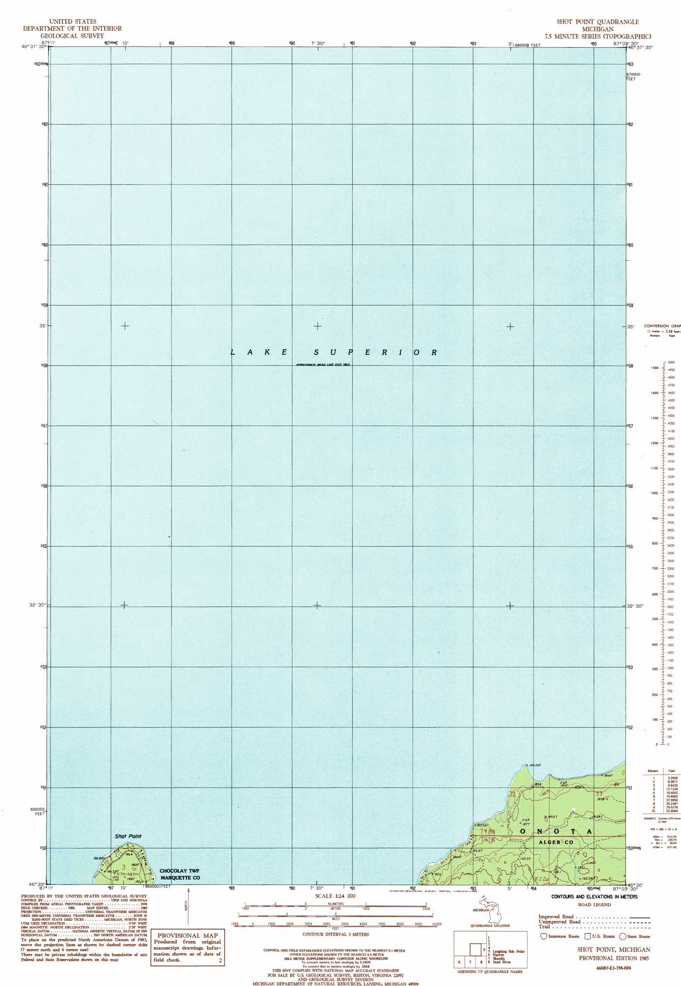
USGS Topo Quad 46087e1 - 1:24,000 scale
| Topo Map Name: | Shot Point |
| USGS Topo Quad ID: | 46087e1 |
| Print Size: | ca. 21 1/4" wide x 27" high |
| Southeast Coordinates: | 46.5° N latitude / 87° W longitude |
| Map Center Coordinates: | 46.5625° N latitude / 87.0625° W longitude |
| U.S. State: | MI |
| Filename: | o46087e1.jpg |
| Download Map JPG Image: | Shot Point topo map 1:24,000 scale |
| Map Type: | Topographic |
| Topo Series: | 7.5´ |
| Map Scale: | 1:24,000 |
| Source of Map Images: | United States Geological Survey (USGS) |
| Alternate Map Versions: |
Laughing Fish Point MI 2011 Download PDF Buy paper map Laughing Fish Point MI 2014 Download PDF Buy paper map Laughing Fish Point MI 2017 Download PDF Buy paper map |
1:24,000 Topo Quads surrounding Shot Point
Shot Point |
Laughing Fish Point |
|||
Harvey |
Skandia |
Sand River |
Rock River |
Au Train |
Little Lake |
Carlshend |
Ladoga |
Chatham |
Forest Lake |
> Back to 46087e1 at 1:100,000 scale
> Back to 46086a1 at 1:250,000 scale
> Back to U.S. Topo Maps home
Shot Point topo map: Gazetteer
Shot Point: Areas
John H Hammer Public Access elevation 185m 606′Shot Point: Capes
Laughing Fish Point elevation 186m 610′Shot Point: Streams
Laughing Whitefish River elevation 184m 603′Shot Point digital topo map on disk
Buy this Shot Point topo map showing relief, roads, GPS coordinates and other geographical features, as a high-resolution digital map file on DVD: