Fort Yates Se Topo Map North Dakota
To zoom in, hover over the map of Fort Yates Se
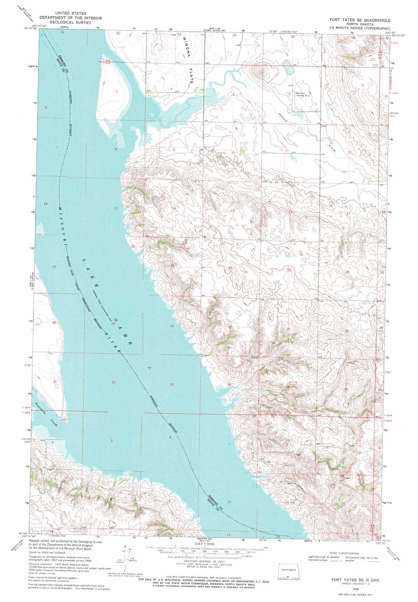
USGS Topo Quad 46100a5 - 1:24,000 scale
| Topo Map Name: | Fort Yates Se |
| USGS Topo Quad ID: | 46100a5 |
| Print Size: | ca. 21 1/4" wide x 27" high |
| Southeast Coordinates: | 46° N latitude / 100.5° W longitude |
| Map Center Coordinates: | 46.0625° N latitude / 100.5625° W longitude |
| U.S. State: | ND |
| Filename: | O46100A5.jpg |
| Download Map JPG Image: | Fort Yates Se topo map 1:24,000 scale |
| Map Type: | Topographic |
| Topo Series: | 7.5´ |
| Map Scale: | 1:24,000 |
| Source of Map Images: | United States Geological Survey (USGS) |
| Alternate Map Versions: |
Fort Yates SE ND 1968, updated 1971 Download PDF Buy paper map Fort Yates SE ND 2011 Download PDF Buy paper map Fort Yates SE ND 2014 Download PDF Buy paper map |
1:24,000 Topo Quads surrounding Fort Yates Se
Half Timber Butte |
Cannon Ball Sw |
Cannon Ball Se |
Hazelton Sw |
Temvik |
Barren Butte |
Fort Yates Nw |
Fort Yates Ne |
Grassna Nw |
Grassna Ne |
Selfridge Se |
Fort Yates |
Fort Yates Se |
Kiefer Buttes |
Grassna |
Mclaughlin Ne |
Mahto Nw |
Mahto Ne |
Pollock Nw |
Pollock |
Mclaughlin |
Mahto |
Kline Buttes |
Kenel |
Pollock Se |
> Back to 46100a1 at 1:100,000 scale
> Back to 46100a1 at 1:250,000 scale
> Back to U.S. Topo Maps home
Fort Yates Se topo map: Gazetteer
Fort Yates Se: Bays
Cattail Bay elevation 491m 1610′Fort Yates Se: Islands
Winona Island elevation 498m 1633′Fort Yates Se: Parks
Cattail Recreation Area elevation 492m 1614′Fort Yates Se: Streams
Cattail Creek elevation 491m 1610′Fourmile Creek elevation 491m 1610′
Fort Yates Se digital topo map on disk
Buy this Fort Yates Se topo map showing relief, roads, GPS coordinates and other geographical features, as a high-resolution digital map file on DVD:
Eastern North Dakota & Eastern South Dakota
Buy digital topo maps: Eastern North Dakota & Eastern South Dakota