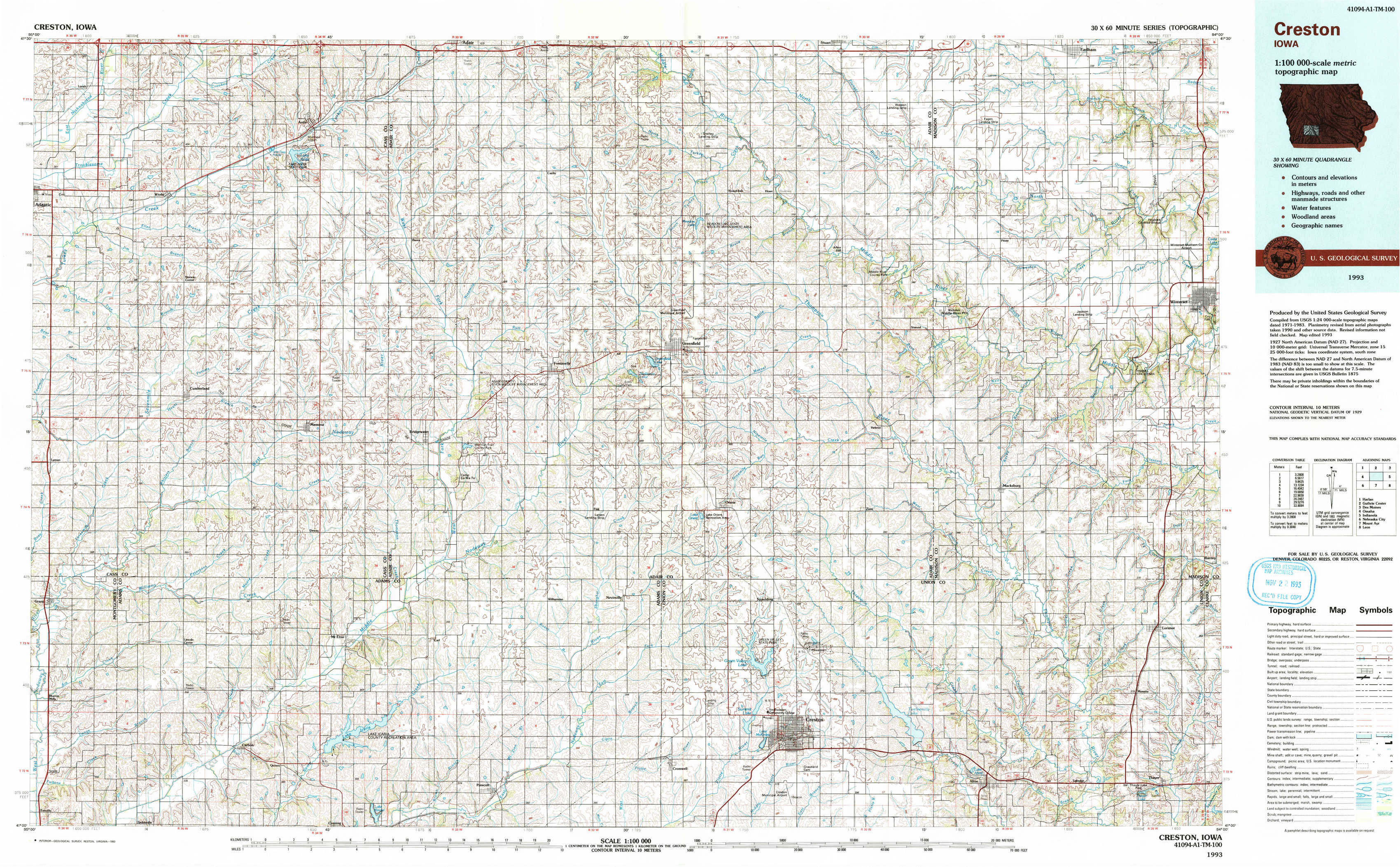
Creston Topo Map Iowa
To zoom in, hover over the map of Creston
USGS Topo Map 41094a1 - 1:100,000 scale
| Topo Map Name: | Creston |
| USGS Topo Quad ID: | 41094a1 |
| Print Size: | ca. 39" wide x 24" high |
| Southeast Coordinates: | 41° N latitude / 94° W longitude |
| Map Center Coordinates: | 41.25° N latitude / 94.5° W longitude |
| U.S. State: | IA |
| Filename: | 41094a1.jpg |
| Download Map JPG Image: | Creston topo map 1:100,000 scale |
| Map Type: | Topographic |
| Topo Series: | 30´x60´ |
| Map Scale: | 1:100,000 |
| Source of Map Images: | United States Geological Survey (USGS) |
| Alternate Map Versions: |
Creston IA 1993, updated 1993 Download PDF Buy paper map |
1:100,000 Topos surrounding Creston
Harlan |
Guthrie Center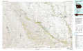 |
Des Moines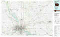 |
Omaha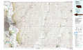 |
Creston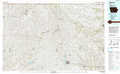 |
Indianola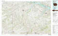 |
Nebraska City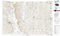 |
Mount Ayr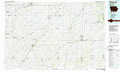 |
Leon |
> Back to 41094a1 at 1:250,000 scale
> Back to U.S. Topo Maps home
1:24,000 Topo Quads covered by the spatial extent of this 100k map (Creston)
|
Wiota 
|
Anita 
|
Adair South 
|
Canby 
|
Rosserdale 
|
Stuart South 
|
Earlham West 
|
Earlham East 
|
|
Anita Sw 
|
Massena 
|
Fontanelle Sw 
|
Fontanelle 
|
Greenfield 
|
Arbor Hill 
|
Pitzer 
|
Winterset 
|
|
Grant 
|
Dewey 
|
Bridgewater 
|
Nevinville 
|
Orient 
|
Zion 
|
Macksburg 
|
Lorimor North 
|
|
Morton Mills 
|
Carbon 
|
Corning North 
|
Prescott 
|
Creston West 
|
Creston East 
|
Afton 
|
Lorimor South 
|