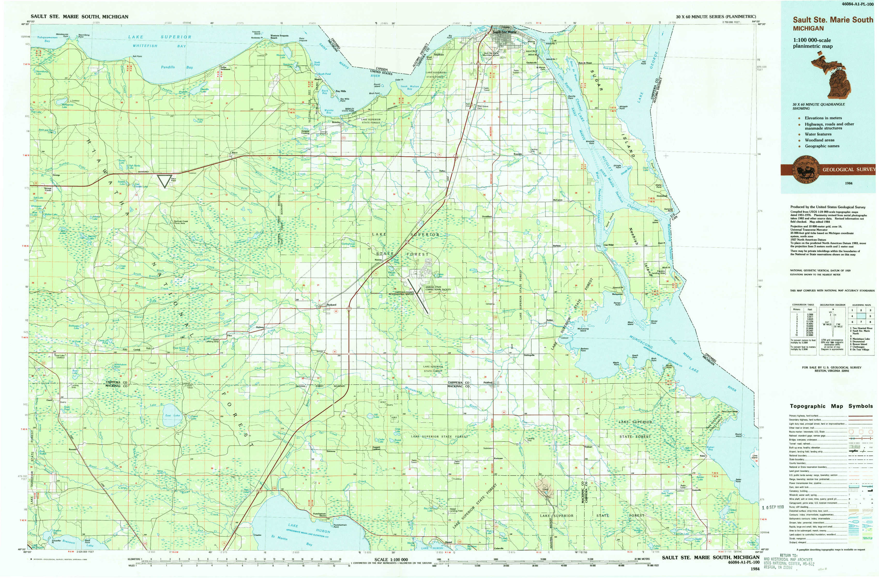
Sault Sainte Marie South Topo Map Michigan
To zoom in, hover over the map of Sault Sainte Marie South
USGS Topo Map 46084a1 - 1:100,000 scale
| Topo Map Name: | Sault Sainte Marie South |
| USGS Topo Quad ID: | 46084a1 |
| Print Size: | ca. 39" wide x 24" high |
| Southeast Coordinates: | 46° N latitude / 84° W longitude |
| Map Center Coordinates: | 46.25° N latitude / 84.5° W longitude |
| U.S. State: | MI |
| Filename: | 46084a1.jpg |
| Download Map JPG Image: | Sault Sainte Marie South topo map 1:100,000 scale |
| Map Type: | Topographic |
| Topo Series: | 30´x60´ |
| Map Scale: | 1:100,000 |
| Source of Map Images: | United States Geological Survey (USGS) |
| Alternate Map Versions: |
Sault Ste. Marie South MI 1984, updated 1985 Download PDF Buy paper map Sault Ste. Marie South MI 1984, updated 1991 Download PDF Buy paper map |
1:100,000 Topos surrounding Sault Sainte Marie South
Two Hearted River |
Sault Sainte Marie North |
|
Manistique Lake |
Sault Sainte Marie South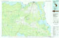 |
Drummond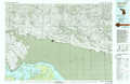 |
Beaver Island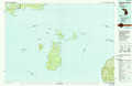 |
Cheboygan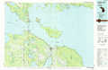 |
De Tour Village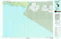 |
> Back to 46084a1 at 1:250,000 scale
> Back to U.S. Topo Maps home
1:24,000 Topo Quads covered by the spatial extent of this 100k map (Sault Sainte Marie South)
|
Mcnearney Lake 
|
Pendills Lake 
|
Dollar Settlement 
|
Brimley 
|
Shallows 
|
Sault Sainte Marie South 
|
Baie De Wasai 
|
|
|
Strongs 
|
Sullivan Creek 
|
Raco 
|
Kinross 
|
Dafter 
|
Barbeau 
|
Oak Ridge 
|
|
|
Ozark 
|
Ozark Ne 
|
Fibre 
|
Rudyard 
|
Pickford Nw 
|
Pickford 
|
Munuscong 
|
Munuscong Ne 
|
|
Kenneth 
|
Ozark Se 
|
Charles 
|
Pontchartrain Shores 
|
Hessel 
|
Pickford Se 
|
Stalwart 
|
Goetzville 
|