Pickford Se Topo Map Michigan
To zoom in, hover over the map of Pickford Se
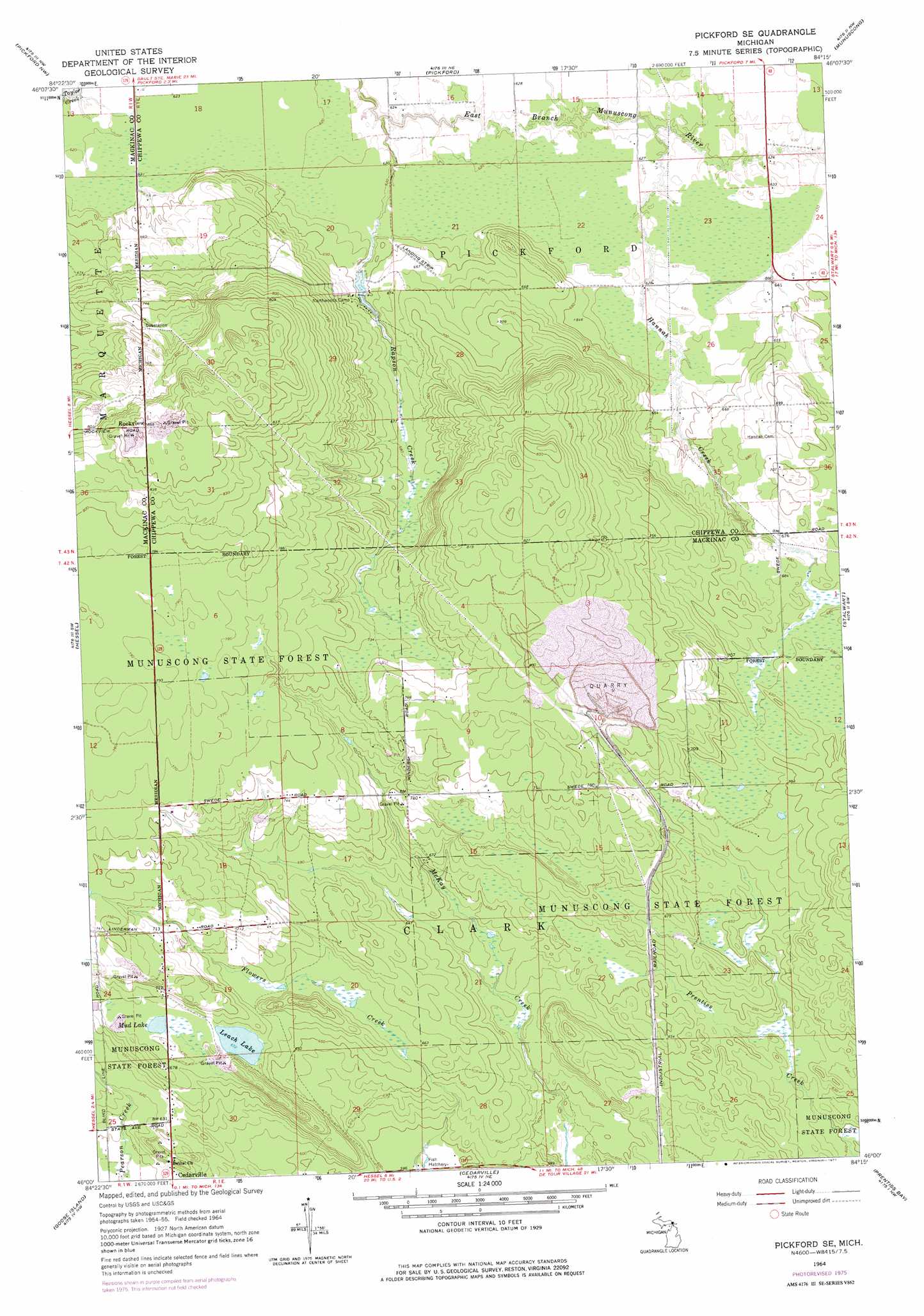
USGS Topo Quad 46084a3 - 1:24,000 scale
| Topo Map Name: | Pickford Se |
| USGS Topo Quad ID: | 46084a3 |
| Print Size: | ca. 21 1/4" wide x 27" high |
| Southeast Coordinates: | 46° N latitude / 84.25° W longitude |
| Map Center Coordinates: | 46.0625° N latitude / 84.3125° W longitude |
| U.S. State: | MI |
| Filename: | o46084a3.jpg |
| Download Map JPG Image: | Pickford Se topo map 1:24,000 scale |
| Map Type: | Topographic |
| Topo Series: | 7.5´ |
| Map Scale: | 1:24,000 |
| Source of Map Images: | United States Geological Survey (USGS) |
| Alternate Map Versions: |
Pickford SE MI 1964, updated 1966 Download PDF Buy paper map Pickford SE MI 1964, updated 1977 Download PDF Buy paper map Pickford SE MI 2011 Download PDF Buy paper map Pickford SE MI 2014 Download PDF Buy paper map Pickford SE MI 2017 Download PDF Buy paper map |
1:24,000 Topo Quads surrounding Pickford Se
Kinross |
Dafter |
Barbeau |
Oak Ridge |
|
Rudyard |
Pickford Nw |
Pickford |
Munuscong |
Munuscong Ne |
Pontchartrain Shores |
Hessel |
Pickford Se |
Stalwart |
Goetzville |
Saint Martin Island |
Goose Island |
Cedarville |
Prentiss Bay |
Albany Island |
Round Island |
Mcrae Bay |
> Back to 46084a1 at 1:100,000 scale
> Back to 46084a1 at 1:250,000 scale
> Back to U.S. Topo Maps home
Pickford Se topo map: Gazetteer
Pickford Se: Lakes
Leach Lake elevation 205m 672′Mud Lake elevation 206m 675′
Pickford Se: Populated Places
Rockview elevation 261m 856′Pickford Se: Post Offices
Rockview Post Office (historical) elevation 259m 849′Pickford Se: Streams
Hannah Creek elevation 186m 610′Rapson Creek elevation 185m 606′
Pickford Se digital topo map on disk
Buy this Pickford Se topo map showing relief, roads, GPS coordinates and other geographical features, as a high-resolution digital map file on DVD: