Lopeno Topo Map Texas
To zoom in, hover over the map of Lopeno
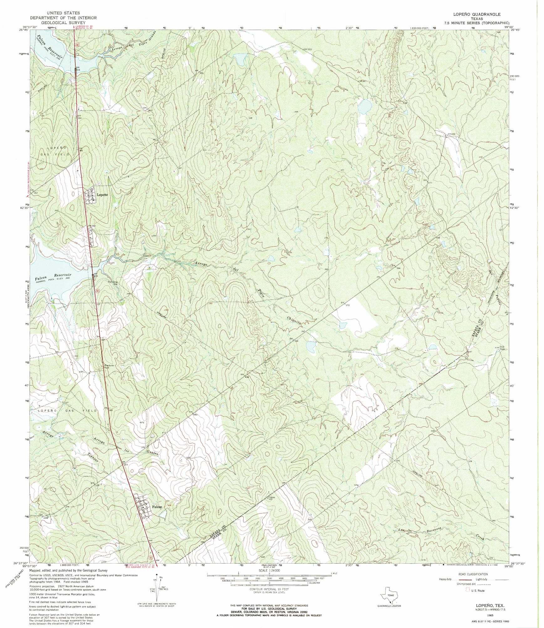
USGS Topo Quad 26099f1 - 1:24,000 scale
| Topo Map Name: | Lopeno |
| USGS Topo Quad ID: | 26099f1 |
| Print Size: | ca. 21 1/4" wide x 27" high |
| Southeast Coordinates: | 26.625° N latitude / 99° W longitude |
| Map Center Coordinates: | 26.6875° N latitude / 99.0625° W longitude |
| U.S. State: | TX |
| Filename: | o26099f1.jpg |
| Download Map JPG Image: | Lopeno topo map 1:24,000 scale |
| Map Type: | Topographic |
| Topo Series: | 7.5´ |
| Map Scale: | 1:24,000 |
| Source of Map Images: | United States Geological Survey (USGS) |
| Alternate Map Versions: |
Lopeno TX 1965, updated 1968 Download PDF Buy paper map Lopeno TX 2010 Download PDF Buy paper map Lopeno TX 2012 Download PDF Buy paper map Lopeno TX 2016 Download PDF Buy paper map |
1:24,000 Topo Quads surrounding Lopeno
Zapata |
Arroyo Veleno |
Arroyo Huisache |
Guerra |
San Antonio Viejo |
Zapata Se |
Arroyo Clareno |
Arroyo Miguel |
Cuevitas Sw |
Cuevitas |
Beckwith Arm |
Lopeno |
Las Escobas Ranch |
Viboras |
|
Falcon Village |
Salineno |
El Chapote Creek |
El Sauz |
|
Roma-Los Saenz West |
Roma-Los Saenz East |
Rio Grande City North |
> Back to 26099e1 at 1:100,000 scale
> Back to 26098a1 at 1:250,000 scale
> Back to U.S. Topo Maps home
Lopeno topo map: Gazetteer
Lopeno: Oilfields
Lopeno Gas Field elevation 101m 331′Lopeno: Populated Places
Falcon elevation 128m 419′Lopeño elevation 119m 390′
New Falcon elevation 127m 416′
New Falcon Colonia elevation 125m 410′
Lopeno: Valleys
Arroyo del Tigre Chiquita elevation 92m 301′Arroyo del Tigre Grande elevation 92m 301′
Arroyo Los Guajes elevation 97m 318′
Arroyo Miguel elevation 92m 301′
Lopeno digital topo map on disk
Buy this Lopeno topo map showing relief, roads, GPS coordinates and other geographical features, as a high-resolution digital map file on DVD: