La Boquilla Topo Map Texas
To zoom in, hover over the map of La Boquilla
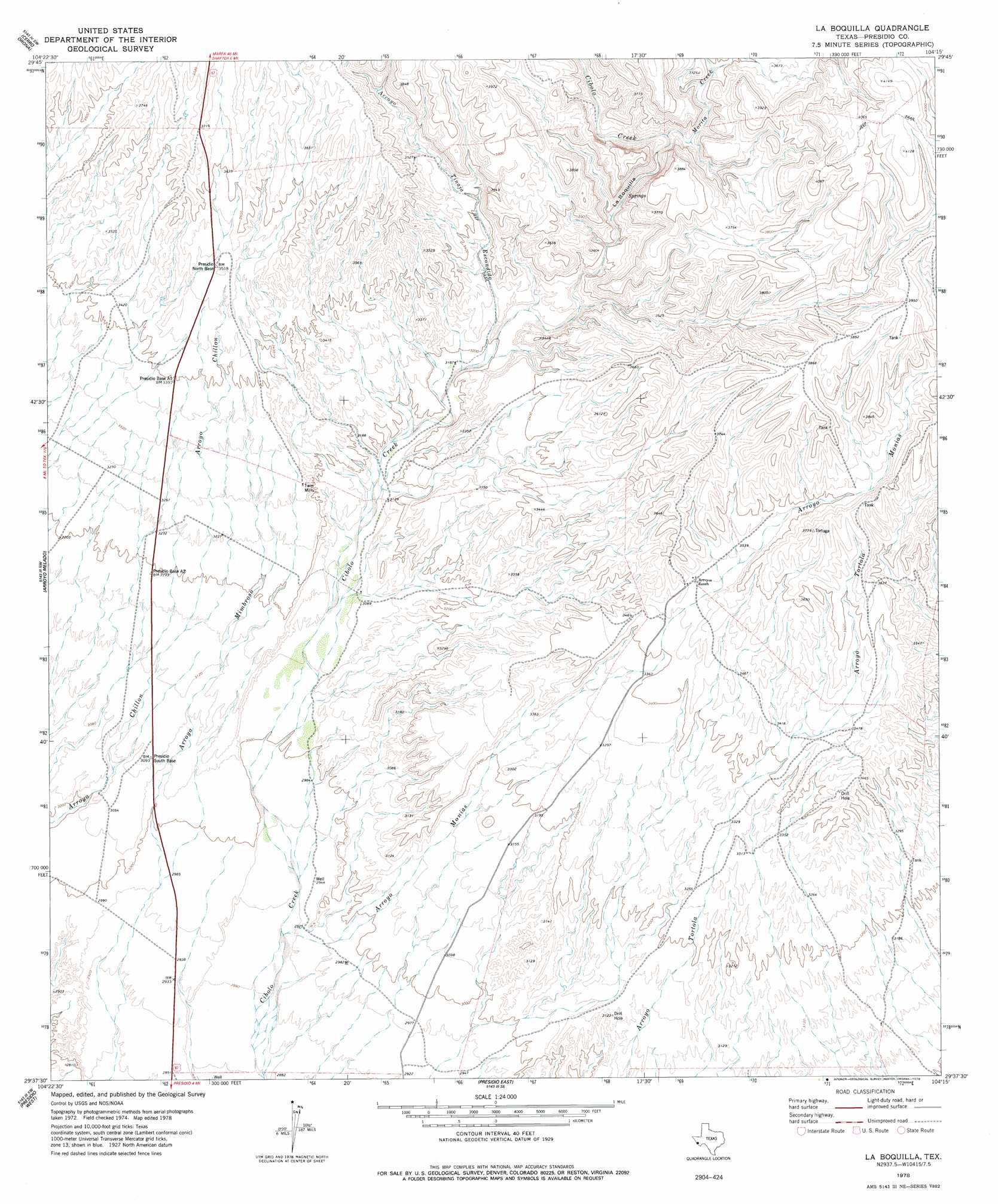
USGS Topo Quad 29104f3 - 1:24,000 scale
| Topo Map Name: | La Boquilla |
| USGS Topo Quad ID: | 29104f3 |
| Print Size: | ca. 21 1/4" wide x 27" high |
| Southeast Coordinates: | 29.625° N latitude / 104.25° W longitude |
| Map Center Coordinates: | 29.6875° N latitude / 104.3125° W longitude |
| U.S. State: | TX |
| Filename: | o29104f3.jpg |
| Download Map JPG Image: | La Boquilla topo map 1:24,000 scale |
| Map Type: | Topographic |
| Topo Series: | 7.5´ |
| Map Scale: | 1:24,000 |
| Source of Map Images: | United States Geological Survey (USGS) |
| Alternate Map Versions: |
La Boquilla TX 1978, updated 1978 Download PDF Buy paper map La Boquilla TX 2010 Download PDF Buy paper map La Boquilla TX 2012 Download PDF Buy paper map La Boquilla TX 2016 Download PDF Buy paper map |
1:24,000 Topo Quads surrounding La Boquilla
Sierra Parda |
Chinati Peak |
Cieneguita |
Cerros Priestos |
Plata Ne |
Adobes |
Cerro Orona |
Shafter |
Cienaga Mountains |
Plata |
Indio |
Arroyo Melado |
La Boquilla |
Alamo Spring |
Casa Piedra |
Presidio West |
Presidio East |
Cerro Redondo |
Manzanillo Canyon |
|
Redford |
Agua Adentro Mountain |
> Back to 29104e1 at 1:100,000 scale
> Back to 29104a1 at 1:250,000 scale
> Back to U.S. Topo Maps home
La Boquilla topo map: Gazetteer
La Boquilla: Airports
Presidio Lely International Airport elevation 891m 2923′La Boquilla: Populated Places
Las Pampas Colonia elevation 961m 3152′La Boquilla: Streams
Morita Creek elevation 1050m 3444′Tortolo Creek elevation 1106m 3628′
La Boquilla: Valleys
Arroyo Monias elevation 889m 2916′Arroyo Tinaja Escondido elevation 974m 3195′
La Boquilla elevation 1015m 3330′
La Boquilla digital topo map on disk
Buy this La Boquilla topo map showing relief, roads, GPS coordinates and other geographical features, as a high-resolution digital map file on DVD: