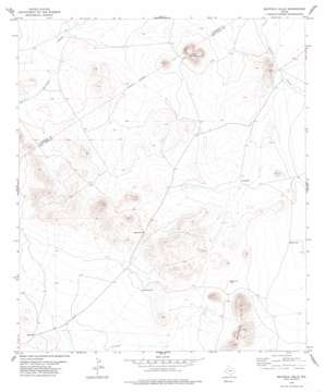
Mayfield Hills Topo Map Texas
To zoom in, hover over the map of Mayfield Hills
USGS Topo Quad 30104g5 - 1:24,000 scale
| Topo Map Name: | Mayfield Hills |
| USGS Topo Quad ID: | 30104g5 |
| Print Size: | ca. 21 1/4" wide x 27" high |
| Southeast Coordinates: | 30.75° N latitude / 104.5° W longitude |
| Map Center Coordinates: | 30.8125° N latitude / 104.5625° W longitude |
| U.S. State: | TX |
| Filename: | o30104g5.jpg |
| Download Map JPG Image: | Mayfield Hills topo map 1:24,000 scale |
| Map Type: | Topographic |
| Topo Series: | 7.5´ |
| Map Scale: | 1:24,000 |
| Source of Map Images: | United States Geological Survey (USGS) |
| Alternate Map Versions: |
Mayfield Hills TX 1978, updated 1978 Download PDF Buy paper map Mayfield Hills TX 2010 Download PDF Buy paper map Mayfield Hills TX 2012 Download PDF Buy paper map Mayfield Hills TX 2016 Download PDF Buy paper map |
1:24,000 Topo Quads surrounding Mayfield Hills
> Back to 30104e1 at 1:100,000 scale
> Back to 30104a1 at 1:250,000 scale
> Back to U.S. Topo Maps home
Mayfield Hills topo map: Gazetteer
Mayfield Hills: Ranges
Mayfield Hills elevation 1457m 4780′Mayfield Hills: Summits
Hogeye Mountain elevation 1427m 4681′Mayfield Hills: Wells
Ant Bed Well elevation 1326m 4350′Esperanza Well elevation 1362m 4468′
Ridge Well elevation 1328m 4356′
Ventura Well elevation 1344m 4409′
Williams Well elevation 1318m 4324′
Mayfield Hills digital topo map on disk
Buy this Mayfield Hills topo map showing relief, roads, GPS coordinates and other geographical features, as a high-resolution digital map file on DVD:


