Pecan Crossing Topo Map Texas
To zoom in, hover over the map of Pecan Crossing
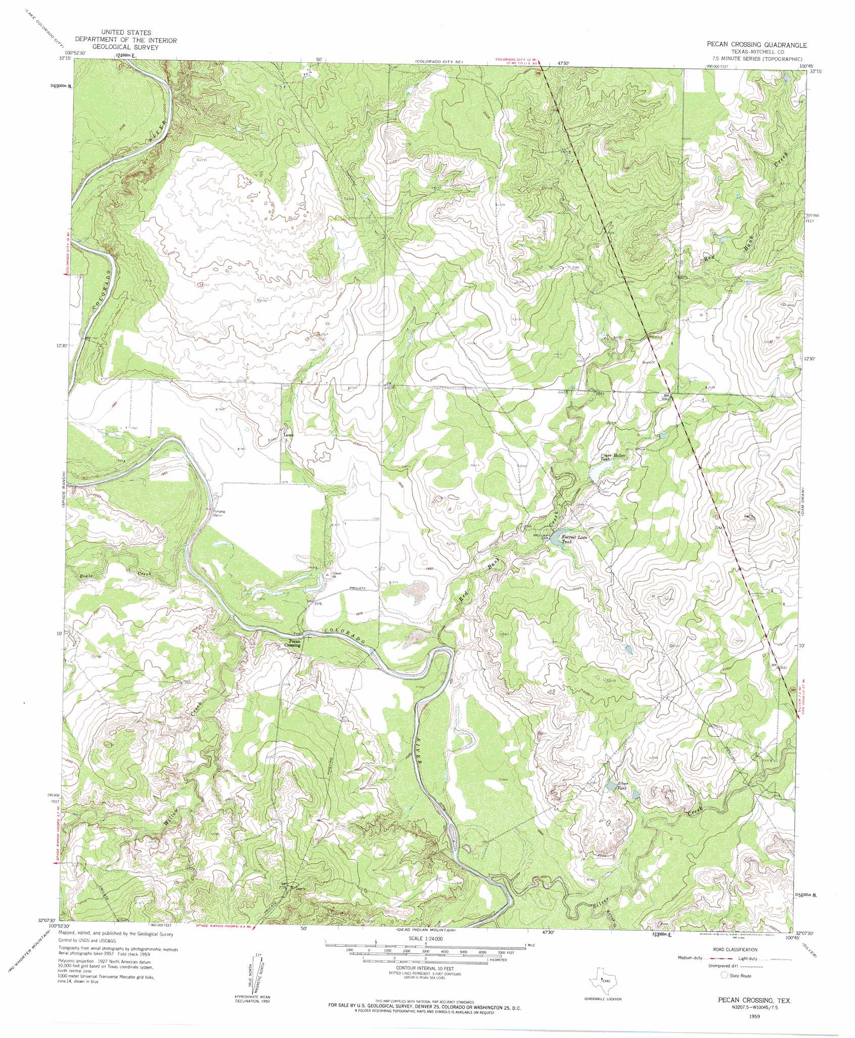
USGS Topo Quad 32100b7 - 1:24,000 scale
| Topo Map Name: | Pecan Crossing |
| USGS Topo Quad ID: | 32100b7 |
| Print Size: | ca. 21 1/4" wide x 27" high |
| Southeast Coordinates: | 32.125° N latitude / 100.75° W longitude |
| Map Center Coordinates: | 32.1875° N latitude / 100.8125° W longitude |
| U.S. State: | TX |
| Filename: | o32100b7.jpg |
| Download Map JPG Image: | Pecan Crossing topo map 1:24,000 scale |
| Map Type: | Topographic |
| Topo Series: | 7.5´ |
| Map Scale: | 1:24,000 |
| Source of Map Images: | United States Geological Survey (USGS) |
| Alternate Map Versions: |
Pecan Crossing TX 1959, updated 1960 Download PDF Buy paper map Pecan Crossing TX 2010 Download PDF Buy paper map Pecan Crossing TX 2012 Download PDF Buy paper map Pecan Crossing TX 2016 Download PDF Buy paper map |
1:24,000 Topo Quads surrounding Pecan Crossing
Cuthbert |
Cedar Bend |
Colorado City |
Loraine |
Roscoe |
Westbrook |
Lake Colorado City |
Colorado City Se |
Baumann School |
Bench Mountain |
Hyman Ne |
Spade Ranch |
Pecan Crossing |
Dam Draw |
Dew Drop Creek |
Buffalo Draw |
Mcwhorter Mountain |
Dead Indian Mountain |
Silver |
Sanco |
Cumbie Draw Ne |
Sterling City Nw |
Crawford Slide |
Green Mountain |
Edith |
> Back to 32100a1 at 1:100,000 scale
> Back to 32100a1 at 1:250,000 scale
> Back to U.S. Topo Maps home
Pecan Crossing topo map: Gazetteer
Pecan Crossing: Dams
Spade Ranch Crane Hollow Tank Dam elevation 616m 2020′Pecan Crossing: Populated Places
Lowe elevation 608m 1994′Pecan Crossing elevation 595m 1952′
Pecan Crossing: Reservoirs
Crane Hollow Tank elevation 616m 2020′Forrest Lowe Tank elevation 610m 2001′
Silver Tank elevation 619m 2030′
Pecan Crossing: Streams
Beals Creek elevation 598m 1961′Big Silver Creek elevation 590m 1935′
Red Bank Creek elevation 595m 1952′
Walnut Creek elevation 597m 1958′
Willow Creek elevation 595m 1952′
Pecan Crossing digital topo map on disk
Buy this Pecan Crossing topo map showing relief, roads, GPS coordinates and other geographical features, as a high-resolution digital map file on DVD: