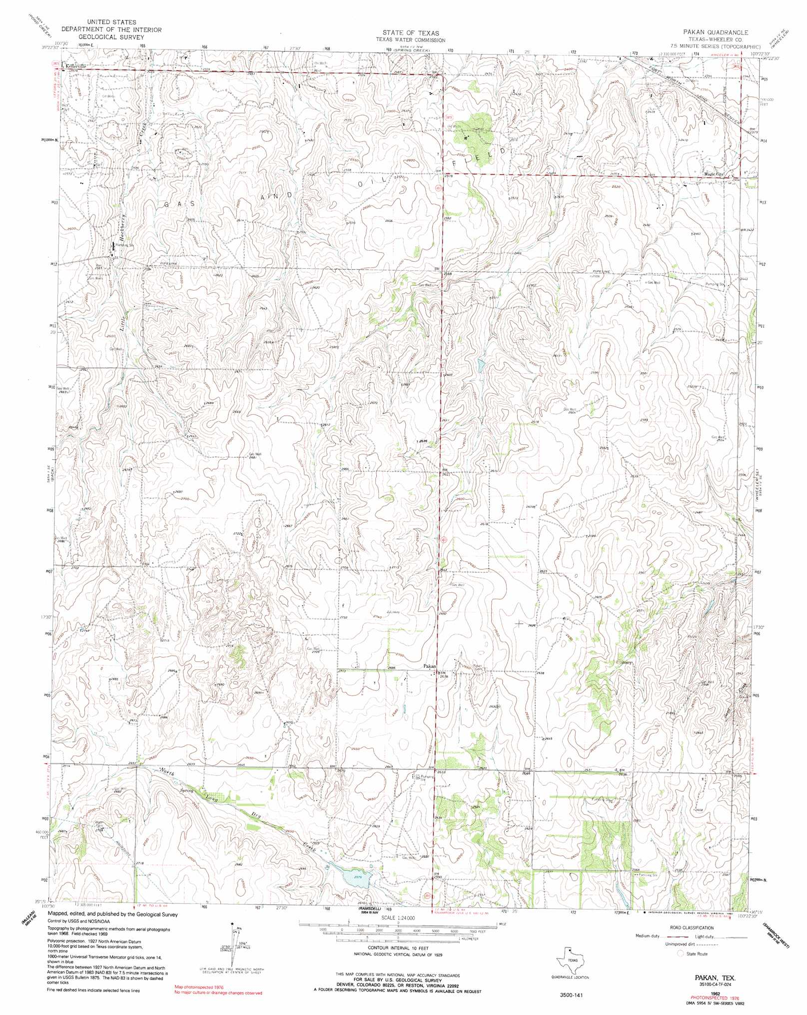
Pakan Topo Map Texas
To zoom in, hover over the map of Pakan
USGS Topo Quad 35100c4 - 1:24,000 scale
| Topo Map Name: | Pakan |
| USGS Topo Quad ID: | 35100c4 |
| Print Size: | ca. 21 1/4" wide x 27" high |
| Southeast Coordinates: | 35.25° N latitude / 100.375° W longitude |
| Map Center Coordinates: | 35.3125° N latitude / 100.4375° W longitude |
| U.S. State: | TX |
| Filename: | o35100c4.jpg |
| Download Map JPG Image: | Pakan topo map 1:24,000 scale |
| Map Type: | Topographic |
| Topo Series: | 7.5´ |
| Map Scale: | 1:24,000 |
| Source of Map Images: | United States Geological Survey (USGS) |
| Alternate Map Versions: |
Pakan TX 1962, updated 1965 Download PDF Buy paper map Pakan TX 1962, updated 1991 Download PDF Buy paper map Pakan TX 2010 Download PDF Buy paper map Pakan TX 2012 Download PDF Buy paper map Pakan TX 2016 Download PDF Buy paper map |
1:24,000 Topo Quads surrounding Pakan
Laketon |
Tody School |
Mobeetie |
Briscoe |
Allison Sw |
Pond Creek Nw |
Pond Creek |
Spring Creek |
Wheeler |
Kelton Nw |
Hudgens Ranch |
Back |
Pakan |
Wheeler Se |
Twitty |
Alanreed |
Mclean |
Ramsdell |
Shamrock West |
Shamrock East |
Troublesome Creek |
Spencer Lake |
Abra |
Dozier |
Lutie |
> Back to 35100a1 at 1:100,000 scale
> Back to 35100a1 at 1:250,000 scale
> Back to U.S. Topo Maps home
Pakan topo map: Gazetteer
Pakan: Dams
Avent Reservoir Dam elevation 783m 2568′Hrnciar Dam elevation 786m 2578′
Machina Lake Dam elevation 790m 2591′
Pakan: Populated Places
Magic City elevation 733m 2404′Pakan elevation 816m 2677′
Pakan: Reservoirs
Avent Reservoir elevation 783m 2568′Hrnciar Lake elevation 786m 2578′
Machina Lake elevation 790m 2591′
Pakan digital topo map on disk
Buy this Pakan topo map showing relief, roads, GPS coordinates and other geographical features, as a high-resolution digital map file on DVD: