Wingate Wash East Topo Map California
To zoom in, hover over the map of Wingate Wash East
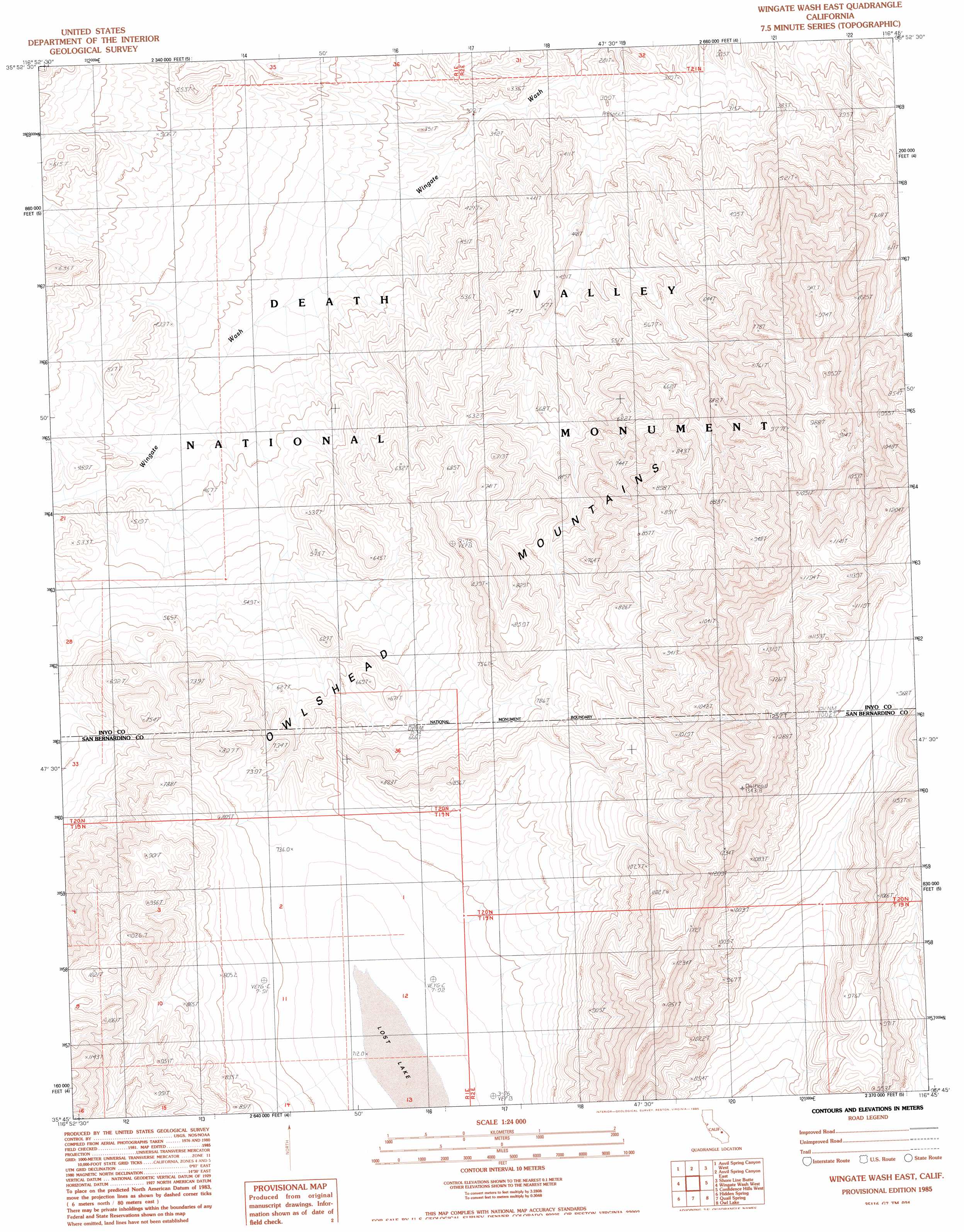
USGS Topo Quad 35116g7 - 1:24,000 scale
| Topo Map Name: | Wingate Wash East |
| USGS Topo Quad ID: | 35116g7 |
| Print Size: | ca. 21 1/4" wide x 27" high |
| Southeast Coordinates: | 35.75° N latitude / 116.75° W longitude |
| Map Center Coordinates: | 35.8125° N latitude / 116.8125° W longitude |
| U.S. State: | CA |
| Filename: | o35116g7.jpg |
| Download Map JPG Image: | Wingate Wash East topo map 1:24,000 scale |
| Map Type: | Topographic |
| Topo Series: | 7.5´ |
| Map Scale: | 1:24,000 |
| Source of Map Images: | United States Geological Survey (USGS) |
| Alternate Map Versions: |
Wingate Wash East CA 1985, updated 1985 Download PDF Buy paper map Wingate Wash East CA 2012 Download PDF Buy paper map Wingate Wash East CA 2015 Download PDF Buy paper map |
1:24,000 Topo Quads surrounding Wingate Wash East
Panamint |
Galena Canyon |
Mormon Point |
Gold Valley |
Funeral Peak |
Manly Peak |
Anvil Spring Canyon West |
Anvil Spring Canyon East |
Shore Line Butte |
Epaulet Peak |
Sourdough Spring |
Wingate Wash West |
Wingate Wash East |
Confidence Hills West |
Confidence Hills East |
Wingate Pass |
Hidden Spring |
Quail Spring |
Owl Lake |
East Of Owl Lake |
Pilot Knob Valley East |
West Of Leach Spring |
Leach Spring |
Leach Lake |
East Of Leach Lake |
> Back to 35116e1 at 1:100,000 scale
> Back to 35116a1 at 1:250,000 scale
> Back to U.S. Topo Maps home
Wingate Wash East digital topo map on disk
Buy this Wingate Wash East topo map showing relief, roads, GPS coordinates and other geographical features, as a high-resolution digital map file on DVD:
Southern Sierra Nevada, California & Southern Nevada
Buy digital topo maps: Southern Sierra Nevada, California & Southern Nevada