Southeast Columbus Topo Map Ohio
To zoom in, hover over the map of Southeast Columbus
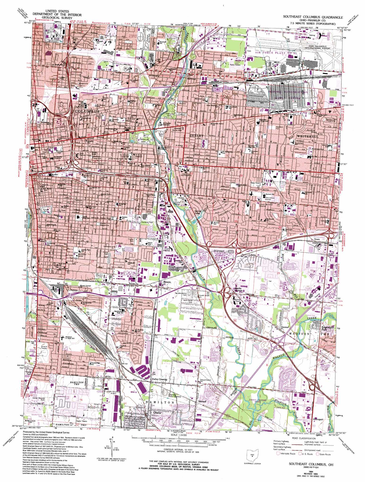
USGS Topo Quad 39082h8 - 1:24,000 scale
| Topo Map Name: | Southeast Columbus |
| USGS Topo Quad ID: | 39082h8 |
| Print Size: | ca. 21 1/4" wide x 27" high |
| Southeast Coordinates: | 39.875° N latitude / 82.875° W longitude |
| Map Center Coordinates: | 39.9375° N latitude / 82.9375° W longitude |
| U.S. State: | OH |
| Filename: | o39082h8.jpg |
| Download Map JPG Image: | Southeast Columbus topo map 1:24,000 scale |
| Map Type: | Topographic |
| Topo Series: | 7.5´ |
| Map Scale: | 1:24,000 |
| Source of Map Images: | United States Geological Survey (USGS) |
| Alternate Map Versions: |
Southeast Columbus OH 1955, updated 1957 Download PDF Buy paper map Southeast Columbus OH 1964, updated 1966 Download PDF Buy paper map Southeast Columbus OH 1964, updated 1975 Download PDF Buy paper map Southeast Columbus OH 1964, updated 1985 Download PDF Buy paper map Southeast Columbus OH 1964, updated 1994 Download PDF Buy paper map Southeast Columbus OH 1964, updated 1994 Download PDF Buy paper map Southeast Columbus OH 2010 Download PDF Buy paper map Southeast Columbus OH 2013 Download PDF Buy paper map Southeast Columbus OH 2016 Download PDF Buy paper map |
1:24,000 Topo Quads surrounding Southeast Columbus
Shawnee Hills |
Powell |
Galena |
Sunbury |
Johnstown |
Hilliard |
Northwest Columbus |
Northeast Columbus |
New Albany |
Jersey |
Galloway |
Southwest Columbus |
Southeast Columbus |
Reynoldsburg |
Pataskala |
Harrisburg |
Commercial Point |
Lockbourne |
Canal Winchester |
Carroll |
Five Points |
Darbyville |
Ashville |
East Ringgold |
Amanda |
> Back to 39082e1 at 1:100,000 scale
> Back to 39082a1 at 1:250,000 scale
> Back to U.S. Topo Maps home
Southeast Columbus topo map: Gazetteer
Southeast Columbus: Airports
Childrens Hospital Heliport elevation 236m 774′DCSC Heliport elevation 241m 790′
Joseph Skilken and Company Heliport elevation 231m 757′
Norton Field (historical) elevation 243m 797′
Ohio Building Authority Heliport elevation 232m 761′
Port Columbus International Airport elevation 247m 810′
Saint Anthony Medical Center Heliport elevation 245m 803′
South Columbus Airport (historical) elevation 228m 748′
Southeast Columbus: Crossings
Interchange 102 elevation 234m 767′Interchange 103A elevation 233m 764′
Interchange 103B elevation 235m 770′
Interchange 105A elevation 231m 757′
Interchange 105B elevation 234m 767′
Interchange 107 elevation 237m 777′
Interchange 108A elevation 232m 761′
Interchange 108B elevation 237m 777′
Interchange 109B elevation 243m 797′
Interchange 109C elevation 238m 780′
Interchange 110A elevation 245m 803′
Interchange 111 elevation 250m 820′
Interchange 46 elevation 228m 748′
Interchange 4B elevation 234m 767′
Southeast Columbus: Parks
Academy Park elevation 226m 741′American Addition Park elevation 250m 820′
Amvet Village Park elevation 245m 803′
Archie Griffin Stadium elevation 239m 784′
Argus Park elevation 235m 770′
Barack Park elevation 231m 757′
Barnett Park elevation 238m 780′
Beatty Park elevation 248m 813′
Bernlohr Stadium elevation 238m 780′
Berwick Park elevation 224m 734′
Blackburn Playground elevation 242m 793′
Brentnell Park elevation 245m 803′
C B Griffin Park elevation 235m 770′
Canini Park elevation 235m 770′
Capital University Historic District elevation 237m 777′
Capitol Square elevation 235m 770′
Cassady Park elevation 228m 748′
Central Park elevation 252m 826′
Columbus Near East Side Historic District elevation 243m 797′
Deaf School Park elevation 237m 777′
Deshler Park elevation 233m 764′
Dorrian Commons Park elevation 235m 770′
Driving Park elevation 230m 754′
East Broad Street Historic District elevation 243m 797′
East Town Street Historic District elevation 237m 777′
Easthaven Park elevation 232m 761′
Eddie Saunders Park elevation 250m 820′
Elk Run Park elevation 222m 728′
English Park elevation 241m 790′
Fairwood Park elevation 231m 757′
Frank Fetch Memorial Park elevation 227m 744′
Franklin Commons elevation 234m 767′
Franklin Park elevation 233m 764′
Hanford Village Park elevation 230m 754′
Hayden Park elevation 231m 757′
Heer Park elevation 216m 708′
Helsel Park elevation 223m 731′
Heritage Park elevation 251m 823′
Indian Mounds Park elevation 224m 734′
Jefferson Avenue Historic District elevation 240m 787′
Jeffery Park elevation 234m 767′
Jeffrey Courtyard elevation 238m 780′
Johnson Memorial Park elevation 238m 780′
Karns Park elevation 236m 774′
Karson Playground elevation 237m 777′
Keller Park elevation 223m 731′
Kirkwood Park elevation 234m 767′
Kobacher Park elevation 236m 774′
Krumm Park elevation 247m 810′
Lamby Park elevation 239m 784′
Lincoln Park elevation 231m 757′
Livingston Park elevation 240m 787′
Maloney Park elevation 258m 846′
Marion-Franklin Park elevation 233m 764′
Mayme Moore Park elevation 245m 803′
Millbrook Park elevation 234m 767′
Moeler Park elevation 229m 751′
Napoleon Park elevation 240m 787′
Natural Resources Park elevation 250m 820′
Nelson Park elevation 233m 764′
New Indianola Historic District elevation 245m 803′
Norton Field Playground elevation 242m 793′
Palsgrove Park elevation 238m 780′
Rainbow Park elevation 238m 780′
Roosevelt Park elevation 237m 777′
Schiller Park elevation 231m 757′
Schlee Brewery Historic District elevation 227m 744′
Scioto Trail Park elevation 220m 721′
Southeast Lions Park elevation 225m 738′
Southern Pines Park elevation 225m 738′
Southgate Park elevation 225m 738′
Southwood Park elevation 228m 748′
Stockbridge Park elevation 228m 748′
The Courtyard elevation 238m 780′
Three Rivers Park elevation 219m 718′
Weinland Park elevation 235m 770′
Willis Park elevation 230m 754′
Windsor Park elevation 259m 849′
Wolfe Park elevation 228m 748′
Southeast Columbus: Populated Places
Bannon elevation 235m 770′Bexley elevation 241m 790′
Big Walnut (historical) elevation 242m 793′
Columbus elevation 235m 770′
Doneys (historical) elevation 238m 780′
East Columbus elevation 246m 807′
Eastmoor elevation 240m 787′
Edgewater Park elevation 227m 744′
Edward elevation 229m 751′
Groveport elevation 226m 741′
Hanford elevation 235m 770′
Milo elevation 247m 810′
Munks Corners elevation 231m 757′
Obetz elevation 228m 748′
Roseland elevation 245m 803′
Shepard elevation 235m 770′
Steelton elevation 225m 738′
Truro elevation 234m 767′
Valley Crossing elevation 232m 761′
Whitehall elevation 242m 793′
Zimmer elevation 230m 754′
Southeast Columbus: Post Offices
Bexley Post Office (historical) elevation 242m 793′East Columbus Post Office (historical) elevation 246m 807′
Edward Post Office (historical) elevation 230m 754′
Milo Post Office (historical) elevation 247m 810′
Obetz Post Office (historical) elevation 229m 751′
Shephard Post Office (historical) elevation 235m 770′
Valleycrossing Post Office (historical) elevation 232m 761′
Zimmer Post Office (historical) elevation 230m 754′
Southeast Columbus: Reservoirs
Spring Lakes elevation 229m 751′Southeast Columbus: Streams
Alum Creek elevation 219m 718′Argyle-Woodland Run elevation 227m 744′
Blacklick Creek elevation 219m 718′
Bliss Run elevation 225m 738′
Mason Run elevation 222m 728′
Turkey Run elevation 238m 780′
Southeast Columbus: Summits
Baker Hill elevation 241m 790′Southeast Columbus digital topo map on disk
Buy this Southeast Columbus topo map showing relief, roads, GPS coordinates and other geographical features, as a high-resolution digital map file on DVD:
 map DVD")