Flournoy Topo Map California
To zoom in, hover over the map of Flournoy
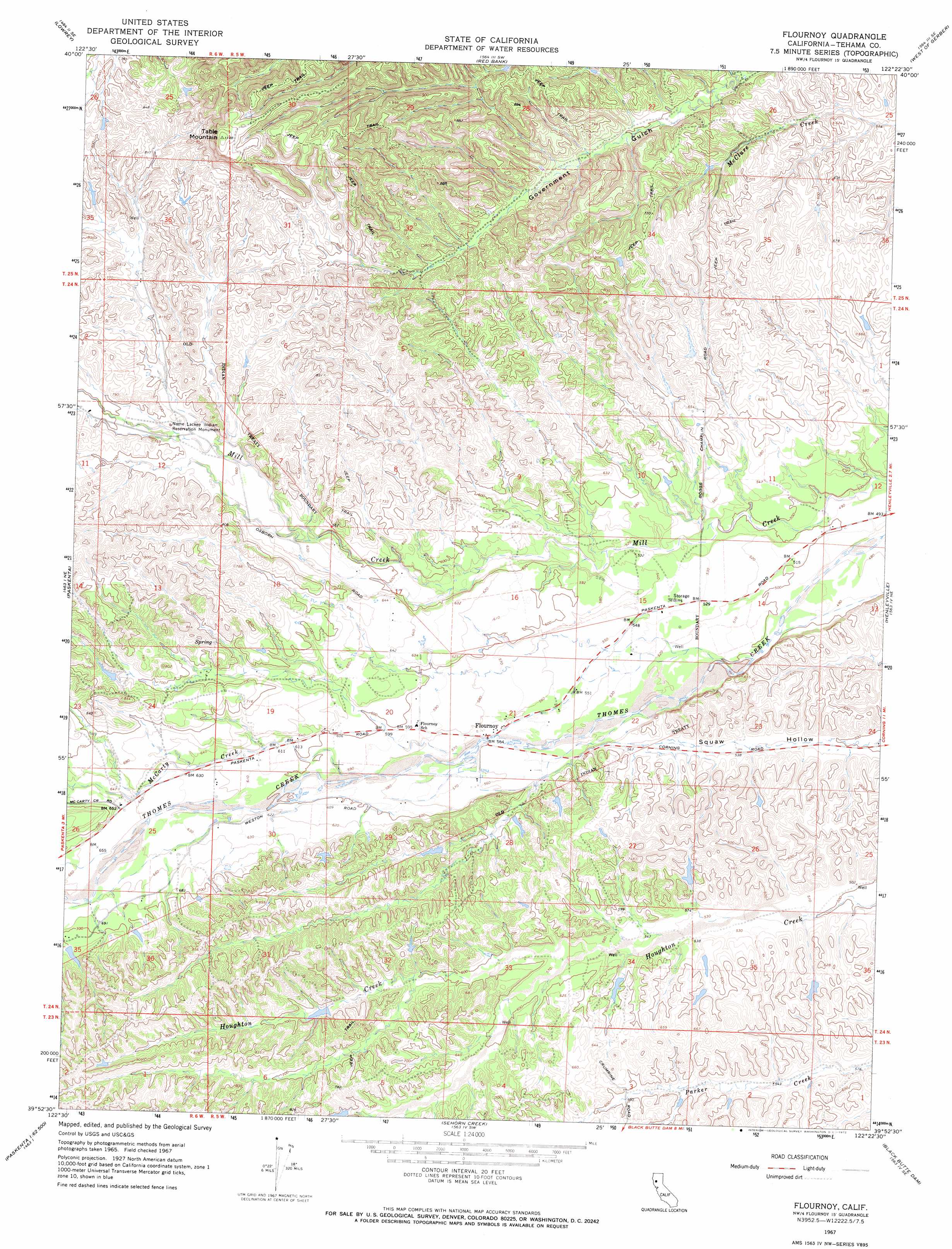
USGS Topo Quad 39122h4 - 1:24,000 scale
| Topo Map Name: | Flournoy |
| USGS Topo Quad ID: | 39122h4 |
| Print Size: | ca. 21 1/4" wide x 27" high |
| Southeast Coordinates: | 39.875° N latitude / 122.375° W longitude |
| Map Center Coordinates: | 39.9375° N latitude / 122.4375° W longitude |
| U.S. State: | CA |
| Filename: | o39122h4.jpg |
| Download Map JPG Image: | Flournoy topo map 1:24,000 scale |
| Map Type: | Topographic |
| Topo Series: | 7.5´ |
| Map Scale: | 1:24,000 |
| Source of Map Images: | United States Geological Survey (USGS) |
| Alternate Map Versions: |
Flournoy CA 1967, updated 1968 Download PDF Buy paper map Flournoy CA 1967, updated 1972 Download PDF Buy paper map Flournoy CA 2012 Download PDF Buy paper map Flournoy CA 2015 Download PDF Buy paper map |
1:24,000 Topo Quads surrounding Flournoy
Cold Fork |
Oxbow Bridge |
Blossom |
Red Bluff West |
Red Bluff East |
Raglin Ridge |
Lowrey |
Red Bank |
West Of Gerber |
Gerber |
Riley Ridge |
Paskenta |
Flournoy |
Henleyville |
Corning |
Hall Ridge |
Newville |
Sehorn Creek |
Black Butte Dam |
Kirkwood |
Alder Springs |
Chrome |
Julian Rocks |
Fruto Ne |
Orland |
> Back to 39122e1 at 1:100,000 scale
> Back to 39122a1 at 1:250,000 scale
> Back to U.S. Topo Maps home
Flournoy topo map: Gazetteer
Flournoy: Populated Places
Flournoy elevation 171m 561′Flournoy: Streams
McCarty Creek elevation 177m 580′Flournoy: Summits
Table Mountain elevation 363m 1190′Flournoy digital topo map on disk
Buy this Flournoy topo map showing relief, roads, GPS coordinates and other geographical features, as a high-resolution digital map file on DVD: