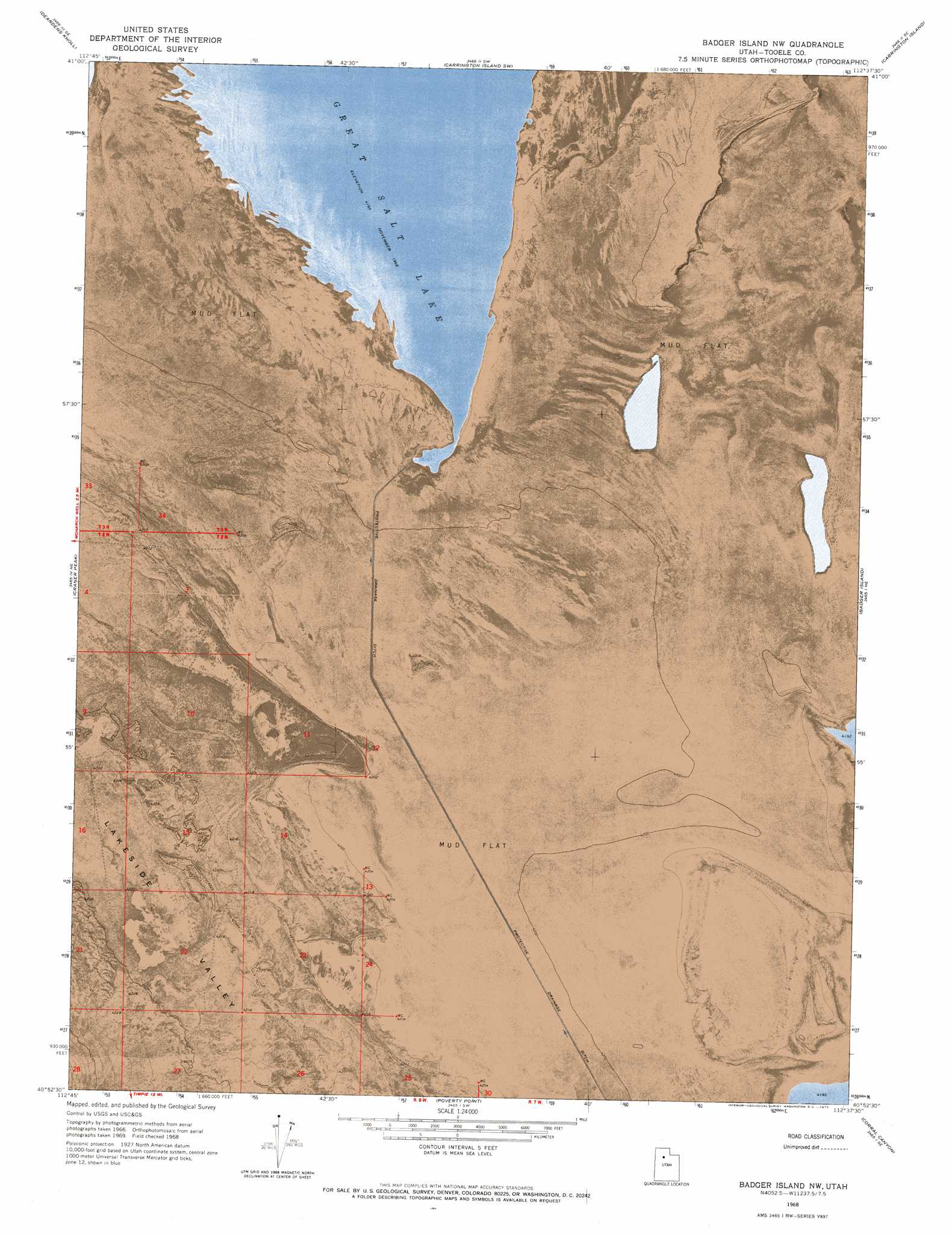
Badger Island Nw Topo Map Utah
To zoom in, hover over the map of Badger Island Nw
USGS Topo Quad 40112h6 - 1:24,000 scale
| Topo Map Name: | Badger Island Nw |
| USGS Topo Quad ID: | 40112h6 |
| Print Size: | ca. 21 1/4" wide x 27" high |
| Southeast Coordinates: | 40.875° N latitude / 112.625° W longitude |
| Map Center Coordinates: | 40.9375° N latitude / 112.6875° W longitude |
| U.S. State: | UT |
| Filename: | p40112h6.jpg |
| Download Map JPG Image: | Badger Island Nw topo map 1:24,000 scale |
| Map Type: | Orthophoto |
| Topo Series: | 7.5´ |
| Map Scale: | 1:24,000 |
| Source of Map Images: | United States Geological Survey (USGS) |
| Alternate Map Versions: |
Badger Island NW UT 1968, updated 1973 Download PDF Buy paper map Badger Island NW UT 2011 Download PDF Buy paper map Badger Island NW UT 2014 Download PDF Buy paper map |
1:24,000 Topo Quads surrounding Badger Island Nw
Strongs Knob |
Lakeside |
Carrington Island Nw |
Carrington Island Ne |
Promontory Point |
Sally Mountain |
Deardens Knoll |
Carrington Island Sw |
Carrington Island |
Fremont Island Sw |
Puddle Valley Knolls |
Craner Peak |
Badger Island Nw |
Badger Island |
Plug Peak Nw |
Low |
Delle |
Poverty Point |
Corral Canyon |
Plug Peak |
Hastings Pass |
Hastings Pass Ne |
Timpie |
Flux |
Burmester |
> Back to 40112e1 at 1:100,000 scale
> Back to 40112a1 at 1:250,000 scale
> Back to U.S. Topo Maps home
No gazetteer data is available for the Badger Island Nw topo map sheet.
Badger Island Nw digital topo map on disk
Buy this Badger Island Nw topo map showing relief, roads, GPS coordinates and other geographical features, as a high-resolution digital map file on DVD: