Sugarloaf Knob Topo Map Nevada
To zoom in, hover over the map of Sugarloaf Knob
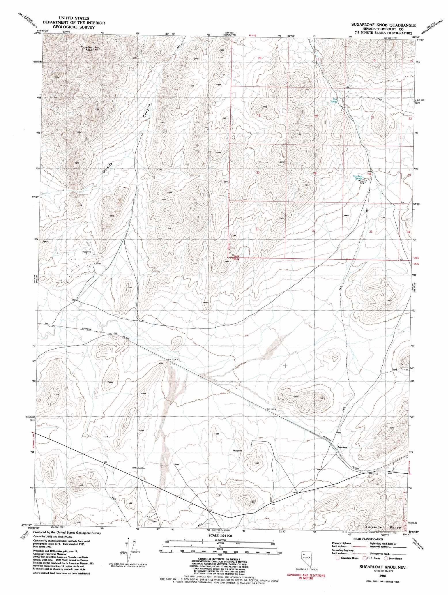
USGS Topo Quad 40118h5 - 1:24,000 scale
| Topo Map Name: | Sugarloaf Knob |
| USGS Topo Quad ID: | 40118h5 |
| Print Size: | ca. 21 1/4" wide x 27" high |
| Southeast Coordinates: | 40.875° N latitude / 118.5° W longitude |
| Map Center Coordinates: | 40.9375° N latitude / 118.5625° W longitude |
| U.S. State: | NV |
| Filename: | o40118h5.jpg |
| Download Map JPG Image: | Sugarloaf Knob topo map 1:24,000 scale |
| Map Type: | Topographic |
| Topo Series: | 7.5´ |
| Map Scale: | 1:24,000 |
| Source of Map Images: | United States Geological Survey (USGS) |
| Alternate Map Versions: |
Sugarloaf Knob NV 1981, updated 1982 Download PDF Buy paper map Sugarloaf Knob NV 1981, updated 1991 Download PDF Buy paper map Sugarloaf Knob NV 2011 Download PDF Buy paper map Sugarloaf Knob NV 2015 Download PDF Buy paper map |
1:24,000 Topo Quads surrounding Sugarloaf Knob
Crowbar Spring |
King Lear Peak Nw |
King Lear Peak |
Schoolhouse Butte |
Dry Hills |
Pidgeon Spring Se |
Salt Water Spring |
Red Butte |
Donna Schee Spring |
Donna Schee Peak |
Rabbithole Ne |
Floka |
Sugarloaf Knob |
Jungo |
Jungo Ne |
Rabbithole |
Sulphur |
Sawtooth Knob |
Long Canyon |
Alpha Mountain |
Dead Horse Canyon Ne |
Placerites |
Scossa |
Majuba Mountain |
Rye Patch Res North |
> Back to 40118e1 at 1:100,000 scale
> Back to 40118a1 at 1:250,000 scale
> Back to U.S. Topo Maps home
Sugarloaf Knob topo map: Gazetteer
Sugarloaf Knob: Springs
Fox Spring elevation 1508m 4947′Smokey Spring elevation 1455m 4773′
Sugarloaf Knob: Summits
Sugarloaf Knob elevation 1894m 6213′Sugarloaf Knob: Valleys
Woods Canyon elevation 1401m 4596′Sugarloaf Knob digital topo map on disk
Buy this Sugarloaf Knob topo map showing relief, roads, GPS coordinates and other geographical features, as a high-resolution digital map file on DVD: