Conata Sw Topo Map South Dakota
To zoom in, hover over the map of Conata Sw
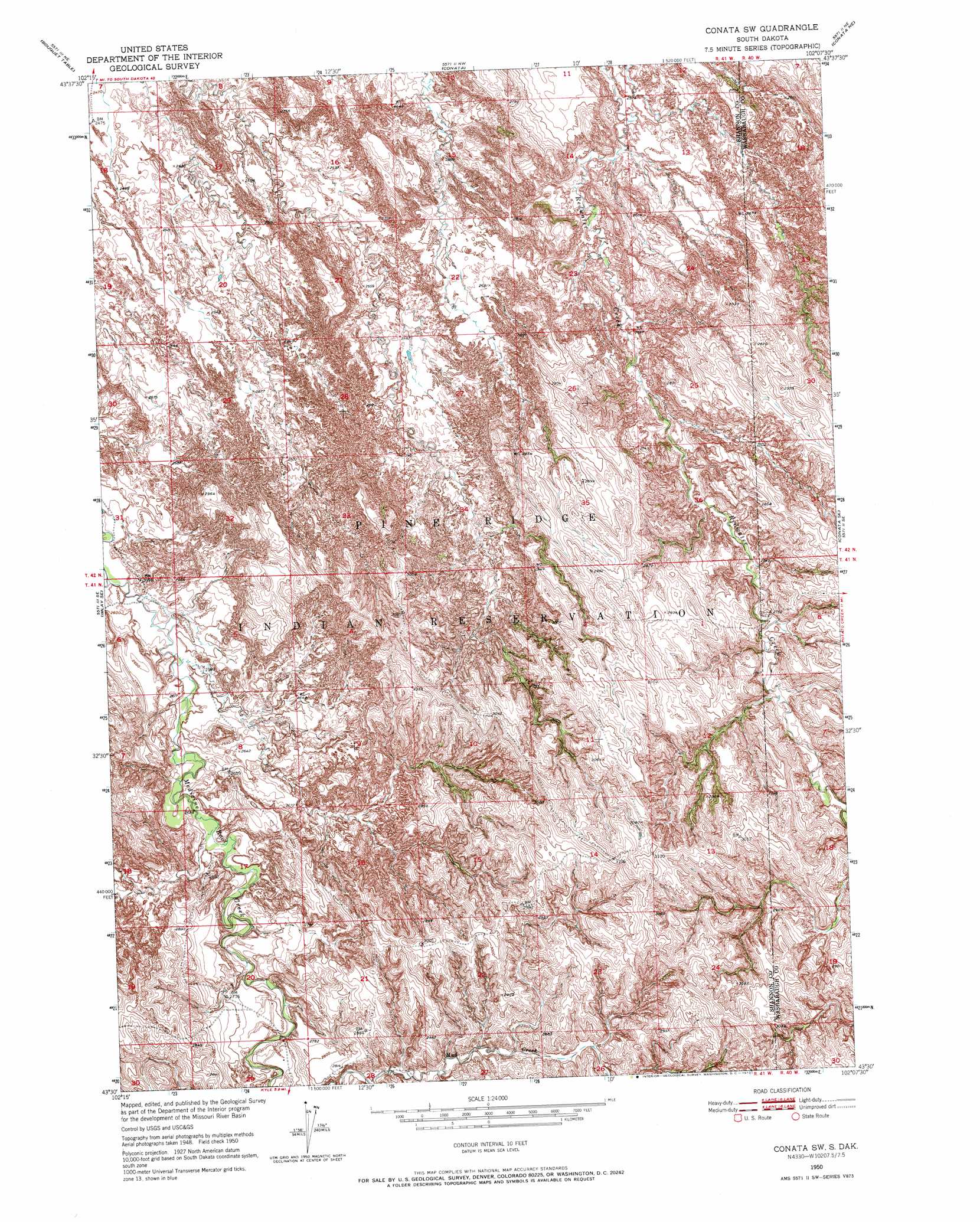
USGS Topo Quad 43102e2 - 1:24,000 scale
| Topo Map Name: | Conata Sw |
| USGS Topo Quad ID: | 43102e2 |
| Print Size: | ca. 21 1/4" wide x 27" high |
| Southeast Coordinates: | 43.5° N latitude / 102.125° W longitude |
| Map Center Coordinates: | 43.5625° N latitude / 102.1875° W longitude |
| U.S. State: | SD |
| Filename: | o43102e2.jpg |
| Download Map JPG Image: | Conata Sw topo map 1:24,000 scale |
| Map Type: | Topographic |
| Topo Series: | 7.5´ |
| Map Scale: | 1:24,000 |
| Source of Map Images: | United States Geological Survey (USGS) |
| Alternate Map Versions: |
Conata SW SD 1950, updated 1952 Download PDF Buy paper map Conata SW SD 1950, updated 1972 Download PDF Buy paper map Conata SW SD 2012 Download PDF Buy paper map Conata SW SD 2015 Download PDF Buy paper map |
1:24,000 Topo Quads surrounding Conata Sw
Quinn Table Sw |
Quinn Table Se |
Wall Sw |
Wall Se |
Cottonwood Sw |
Imlay |
Bouquet Table |
Conata |
Conata Ne |
Interior |
Imlay Sw |
Imlay Se |
Conata Sw |
Conata Se |
Potato Creek |
Sharpes Corner |
Evergreen Ne |
Kyle Ne |
||
Evergreen |
Yellow Bear Camp |
> Back to 43102e1 at 1:100,000 scale
> Back to 43102a1 at 1:250,000 scale
> Back to U.S. Topo Maps home
Conata Sw digital topo map on disk
Buy this Conata Sw topo map showing relief, roads, GPS coordinates and other geographical features, as a high-resolution digital map file on DVD:
Eastern Wyoming & Western South Dakota
Buy digital topo maps: Eastern Wyoming & Western South Dakota