Ninemile Slough Topo Map Oregon
To zoom in, hover over the map of Ninemile Slough
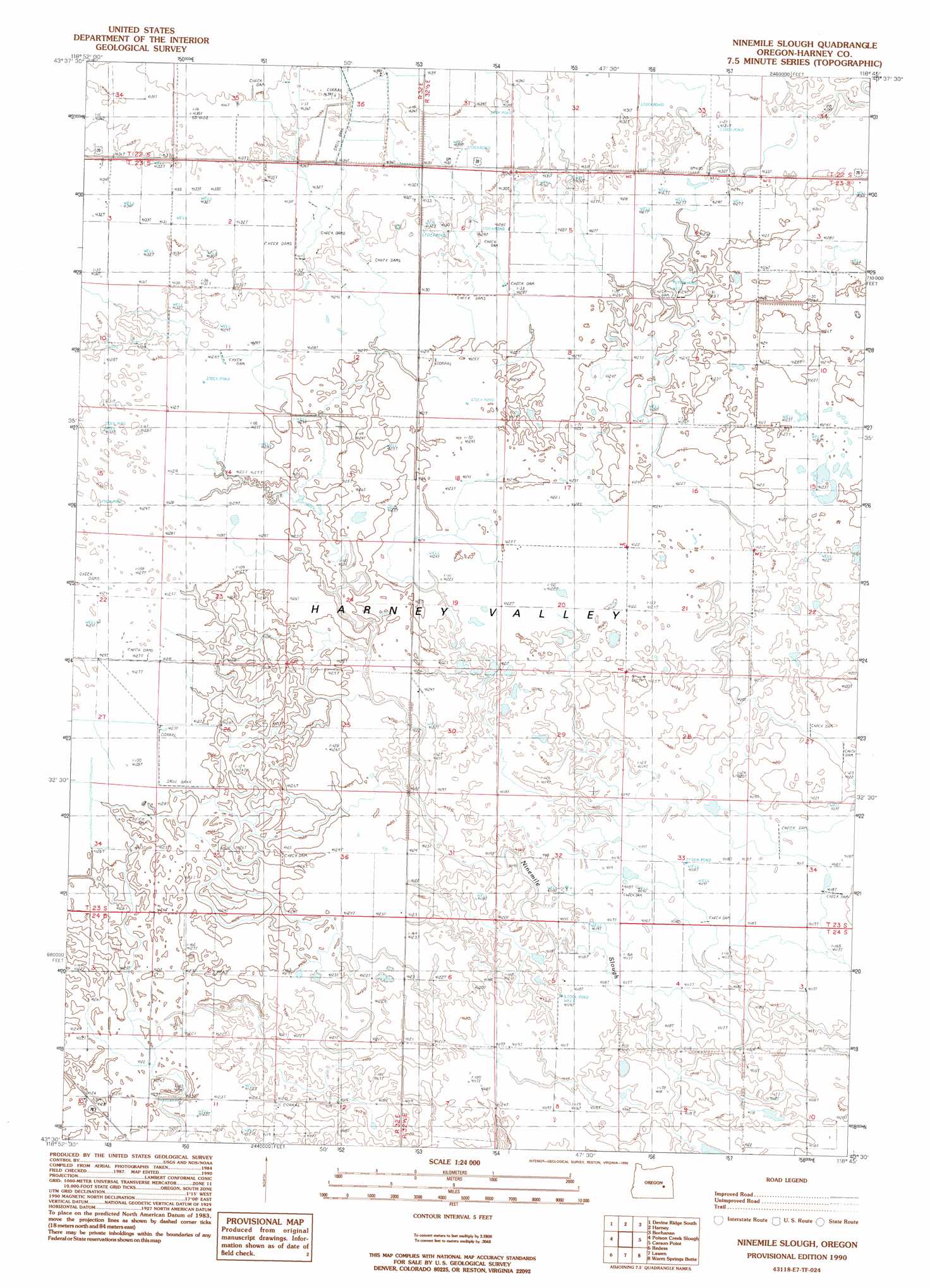
USGS Topo Quad 43118e7 - 1:24,000 scale
| Topo Map Name: | Ninemile Slough |
| USGS Topo Quad ID: | 43118e7 |
| Print Size: | ca. 21 1/4" wide x 27" high |
| Southeast Coordinates: | 43.5° N latitude / 118.75° W longitude |
| Map Center Coordinates: | 43.5625° N latitude / 118.8125° W longitude |
| U.S. State: | OR |
| Filename: | o43118e7.jpg |
| Download Map JPG Image: | Ninemile Slough topo map 1:24,000 scale |
| Map Type: | Topographic |
| Topo Series: | 7.5´ |
| Map Scale: | 1:24,000 |
| Source of Map Images: | United States Geological Survey (USGS) |
| Alternate Map Versions: |
Ninemile Slough OR 1990, updated 1990 Download PDF Buy paper map Ninemile Slough OR 2011 Download PDF Buy paper map Ninemile Slough OR 2014 Download PDF Buy paper map |
1:24,000 Topo Quads surrounding Ninemile Slough
Mosquito Flat |
Devine Ridge North |
Telephone Butte |
Craft Point |
House Butte |
Poison Creek |
Devine Ridge South |
Harney |
Buchanan |
Stinkingwater Pass |
Burns |
Poison Creek Slough |
Ninemile Slough |
Carson Point |
Mahon Creek |
Dog Mountain |
Redess |
Lawen |
Warm Springs Butte |
Crane |
Northeast Harney Lake |
The Narrows |
Malheur Lake West |
Malheur Lake East |
New Princeton |
> Back to 43118e1 at 1:100,000 scale
> Back to 43118a1 at 1:250,000 scale
> Back to U.S. Topo Maps home
Ninemile Slough topo map: Gazetteer
Ninemile Slough: Basins
Harney Valley elevation 1258m 4127′Ninemile Slough: Wells
Clemens Well elevation 1260m 4133′Ninemile Slough digital topo map on disk
Buy this Ninemile Slough topo map showing relief, roads, GPS coordinates and other geographical features, as a high-resolution digital map file on DVD: