Kelsey Butte Topo Map Oregon
To zoom in, hover over the map of Kelsey Butte
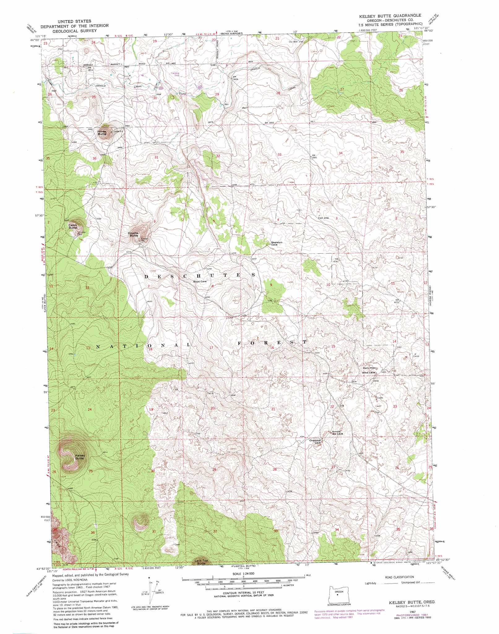
USGS Topo Quad 43121h2 - 1:24,000 scale
| Topo Map Name: | Kelsey Butte |
| USGS Topo Quad ID: | 43121h2 |
| Print Size: | ca. 21 1/4" wide x 27" high |
| Southeast Coordinates: | 43.875° N latitude / 121.125° W longitude |
| Map Center Coordinates: | 43.9375° N latitude / 121.1875° W longitude |
| U.S. State: | OR |
| Filename: | o43121h2.jpg |
| Download Map JPG Image: | Kelsey Butte topo map 1:24,000 scale |
| Map Type: | Topographic |
| Topo Series: | 7.5´ |
| Map Scale: | 1:24,000 |
| Source of Map Images: | United States Geological Survey (USGS) |
| Alternate Map Versions: |
Kelsey Butte OR 1967, updated 1969 Download PDF Buy paper map Kelsey Butte OR 1967, updated 1981 Download PDF Buy paper map Kelsey Butte OR 2011 Download PDF Buy paper map Kelsey Butte OR 2014 Download PDF Buy paper map |
| FStopo: | US Forest Service topo Kelsey Butte is available: Download FStopo PDF Download FStopo TIF |
1:24,000 Topo Quads surrounding Kelsey Butte
Tumalo Dam |
Tumalo |
Forked Horn Butte |
Powell Butte |
Powell Buttes |
Shevlin Park |
Bend |
Bend Airport |
Alfalfa |
Horse Butte |
Benham Falls |
Lava Butte |
Kelsey Butte |
Horse Ridge |
Millican |
Anns Butte |
Lava Cast Forest |
Fuzztail Butte |
Evans Well |
Pine Mountain |
Finley Butte |
Paulina Peak |
East Lake |
China Hat |
Firestone Butte |
> Back to 43121e1 at 1:100,000 scale
> Back to 43120a1 at 1:250,000 scale
> Back to U.S. Topo Maps home
Kelsey Butte topo map: Gazetteer
Kelsey Butte: Summits
Cabin Butte elevation 1350m 4429′Coyote Butte elevation 1344m 4409′
Horse Butte elevation 1267m 4156′
Kelsey Butte elevation 1639m 5377′
Kelsey Butte digital topo map on disk
Buy this Kelsey Butte topo map showing relief, roads, GPS coordinates and other geographical features, as a high-resolution digital map file on DVD: