North Slick Creek Topo Map Montana
To zoom in, hover over the map of North Slick Creek
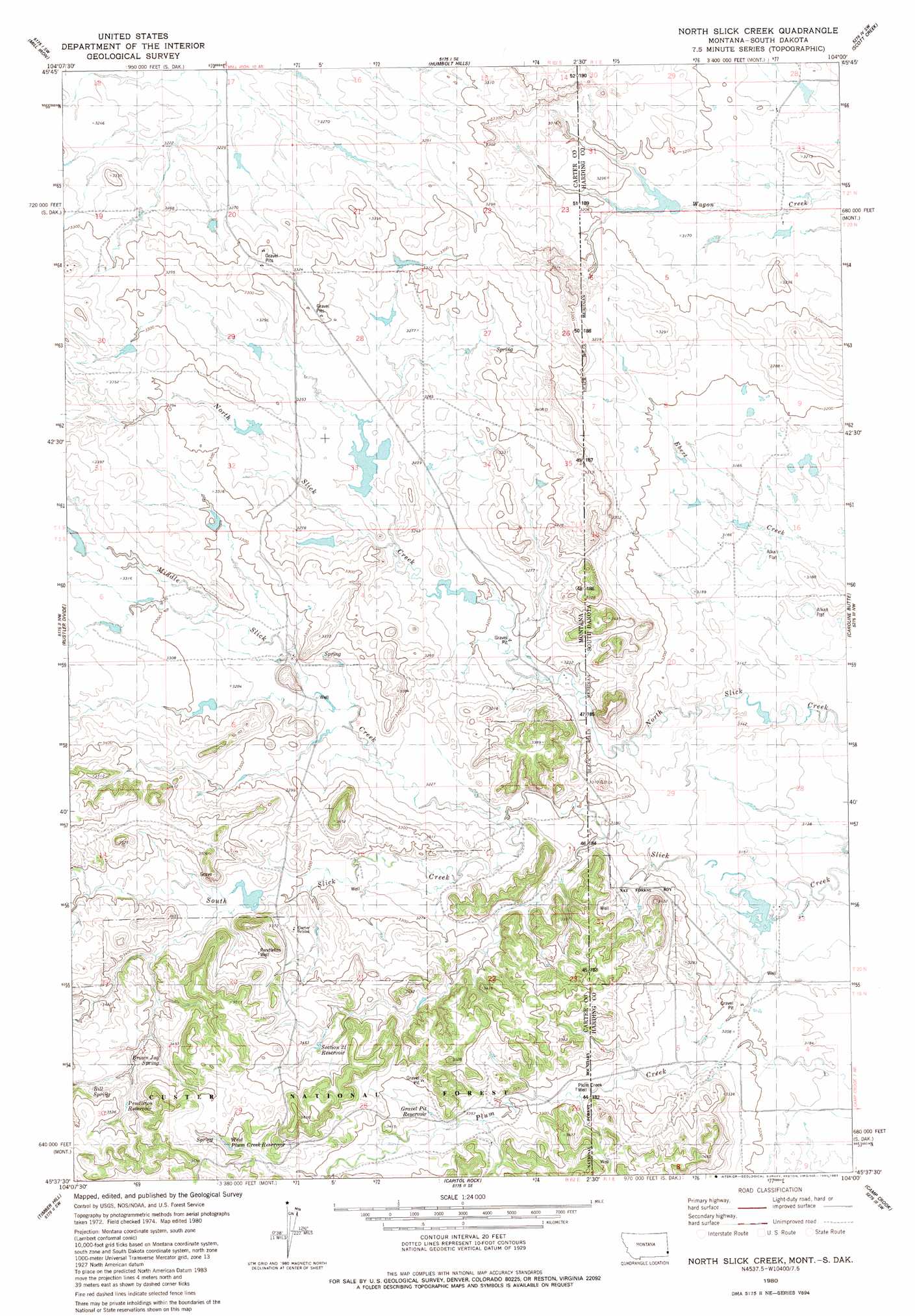
USGS Topo Quad 45104f1 - 1:24,000 scale
| Topo Map Name: | North Slick Creek |
| USGS Topo Quad ID: | 45104f1 |
| Print Size: | ca. 21 1/4" wide x 27" high |
| Southeast Coordinates: | 45.625° N latitude / 104° W longitude |
| Map Center Coordinates: | 45.6875° N latitude / 104.0625° W longitude |
| U.S. States: | MT, SD |
| Filename: | o45104f1.jpg |
| Download Map JPG Image: | North Slick Creek topo map 1:24,000 scale |
| Map Type: | Topographic |
| Topo Series: | 7.5´ |
| Map Scale: | 1:24,000 |
| Source of Map Images: | United States Geological Survey (USGS) |
| Alternate Map Versions: |
North Slick Creek MT 1980, updated 1980 Download PDF Buy paper map North Slick Creek MT 1980, updated 1983 Download PDF Buy paper map North Slick Creek MT 1993, updated 1996 Download PDF Buy paper map North Slick Creek MT 2005, updated 2007 Download PDF Buy paper map North Slick Creek MT 2011 Download PDF Buy paper map North Slick Creek MT 2014 Download PDF Buy paper map |
| FStopo: | US Forest Service topo North Slick Creek is available: Download FStopo PDF Download FStopo TIF |
1:24,000 Topo Quads surrounding North Slick Creek
Dutchman Hill |
Flasted Hill |
Snider Hill |
Doaks Butte |
Dogie Butte |
Lampkin Gulch |
Mill Iron |
Humbolt Hills |
Scott Creek |
Chimney Butte |
Belltower |
Rustler Divide |
North Slick Creek |
Caroline Butte |
Gallup Creek |
Belltower Butte |
Timber Hill |
Capitol Rock |
Camp Crook |
Pine Spring |
Lone Tree Creek |
Capitol Nw |
Capitol |
J K Butte |
Harding |
> Back to 45104e1 at 1:100,000 scale
> Back to 45104a1 at 1:250,000 scale
> Back to U.S. Topo Maps home
North Slick Creek topo map: Gazetteer
North Slick Creek: Dams
Evenson Irrigation Dam elevation 965m 3166′Evenson North Irrigation Dam elevation 972m 3188′
Instant Tang Dam elevation 996m 3267′
Kool-Aid Dam elevation 992m 3254′
Lyle Lewton Dam elevation 958m 3143′
Rolph Number 1 Dam elevation 1008m 3307′
North Slick Creek: Forests
Custer National Forest - Sioux Division elevation 1028m 3372′North Slick Creek: Populated Places
Midland (historical) elevation 993m 3257′North Slick Creek: Post Offices
Midland Post Office (historical) elevation 993m 3257′North Slick Creek: Reservoirs
Gravel Pit Reservoir elevation 1019m 3343′Pendleton Reservoir elevation 1044m 3425′
Section 21 Reservoir elevation 1043m 3421′
West Plum Creek Reservoir elevation 1053m 3454′
North Slick Creek: Springs
Bill Spring elevation 1049m 3441′Brown Jug Spring elevation 1039m 3408′
North Slick Creek: Streams
Middle Slick Creek elevation 976m 3202′North Slick Creek: Wells
02S62E08DDDD01 Well elevation 1002m 3287′Pendleton Well elevation 1032m 3385′
Plum Creek Well elevation 996m 3267′
North Slick Creek digital topo map on disk
Buy this North Slick Creek topo map showing relief, roads, GPS coordinates and other geographical features, as a high-resolution digital map file on DVD:
Eastern Montana & Western North Dakota
Buy digital topo maps: Eastern Montana & Western North Dakota