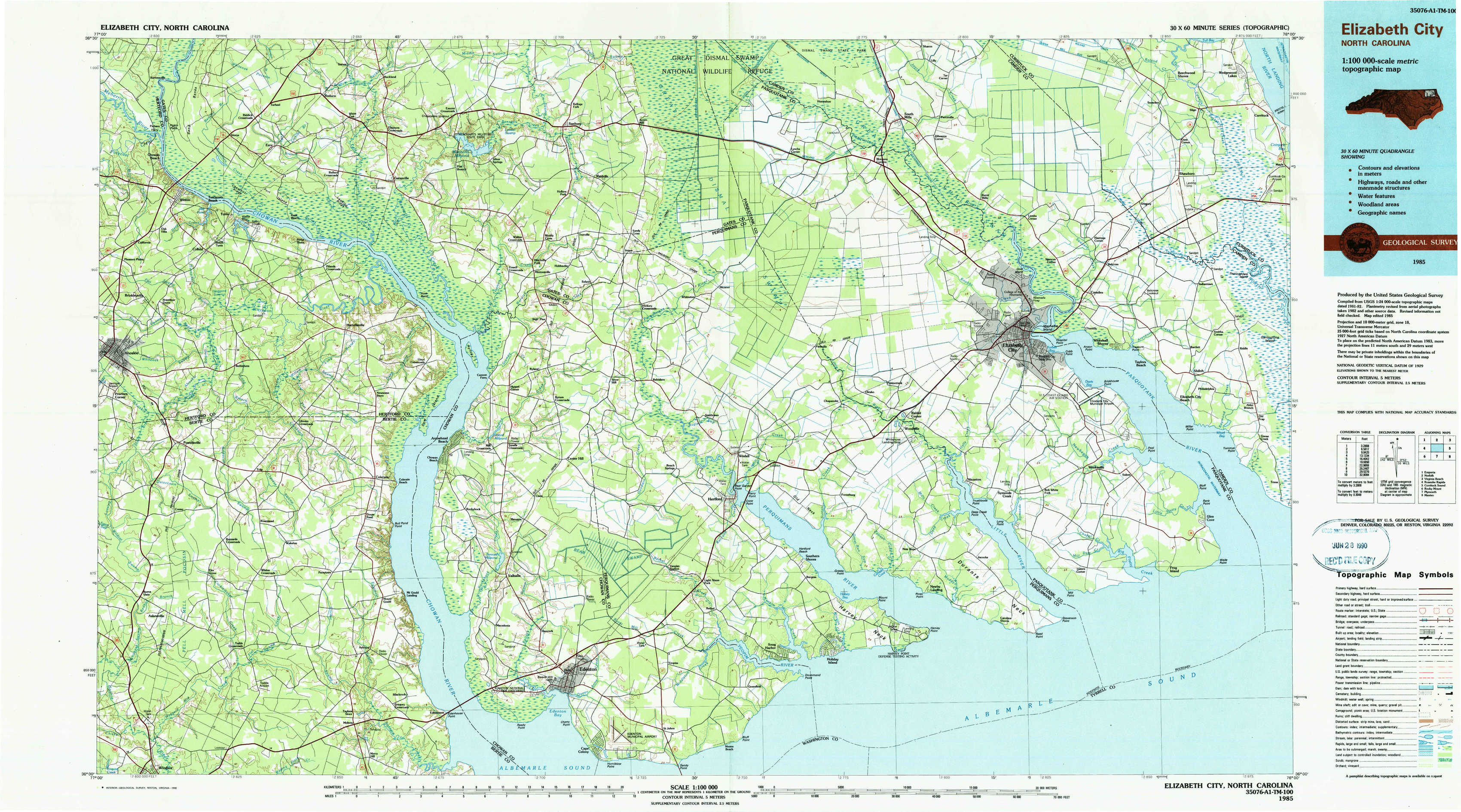
Elizabeth City Topo Map North Carolina
To zoom in, hover over the map of Elizabeth City
USGS Topo Map 36076a1 - 1:100,000 scale
| Topo Map Name: | Elizabeth City |
| USGS Topo Quad ID: | 36076a1 |
| Print Size: | ca. 39" wide x 24" high |
| Southeast Coordinates: | 36° N latitude / 76° W longitude |
| Map Center Coordinates: | 36.25° N latitude / 76.5° W longitude |
| U.S. State: | NC |
| Filename: | 36076a1.jpg |
| Download Map JPG Image: | Elizabeth City topo map 1:100,000 scale |
| Map Type: | Topographic |
| Topo Series: | 30´x60´ |
| Map Scale: | 1:100,000 |
| Source of Map Images: | United States Geological Survey (USGS) |
| Alternate Map Versions: |
Elizabeth City NC 1985, updated 1985 Download PDF Buy paper map Elizabeth City NC 1985, updated 1990 Download PDF Buy paper map |
1:100,000 Topos surrounding Elizabeth City
Emporia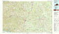 |
Norfolk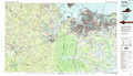 |
Virginia Beach |
Roanoke Rapids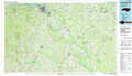 |
Elizabeth City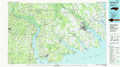 |
Currituck Sound |
Rocky Mount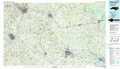 |
Plymouth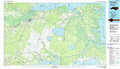 |
Manteo |
> Back to 36076a1 at 1:250,000 scale
> Back to U.S. Topo Maps home
1:24,000 Topo Quads covered by the spatial extent of this 100k map (Elizabeth City)
|
Winton 
|
Gatesville 
|
Merchants Millpond 
|
Sunbury 
|
Lynchs Corner 
|
South Mills 
|
Lambs Corner 
|
Currituck 
|
|
Ahoskie 
|
Harrellsville 
|
Mintonsville 
|
Hobbsville 
|
Chapanoke 
|
Pasquotank 
|
Elizabeth City 
|
Shiloh 
|
|
Powellsville 
|
Colerain 
|
Valhalla 
|
Center Hill 
|
Hertford 
|
Nixonton 
|
Weeksville 
|
Wade Point 
|
|
Windsor North 
|
Merry Hill 
|
Edenhouse 
|
Edenton 
|
Yeopim River 
|
Harvey Neck 
|
Stevenson Point 
|