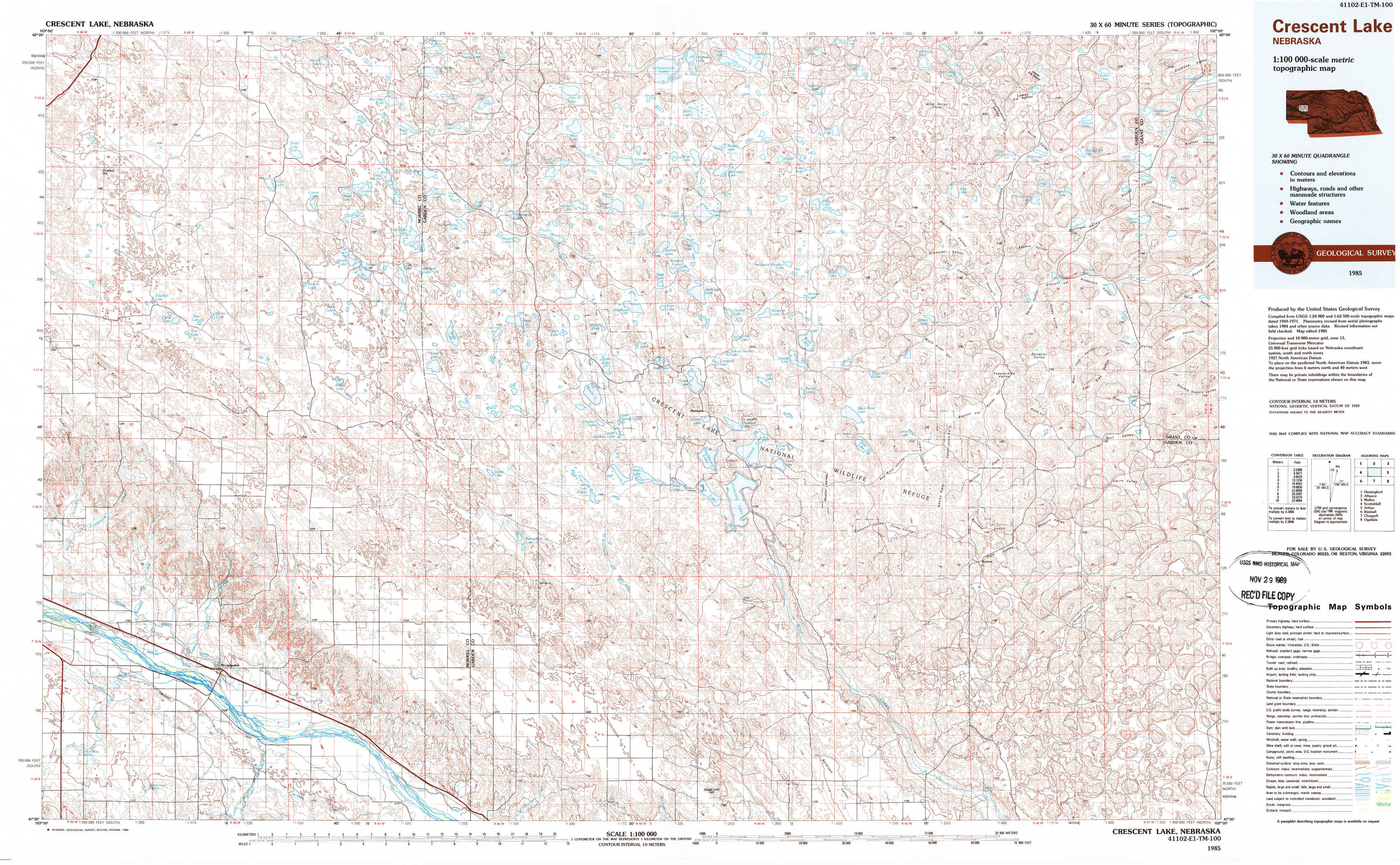
Crescent Lake Topo Map Nebraska
To zoom in, hover over the map of Crescent Lake
USGS Topo Map 41102e1 - 1:100,000 scale
| Topo Map Name: | Crescent Lake |
| USGS Topo Quad ID: | 41102e1 |
| Print Size: | ca. 39" wide x 24" high |
| Southeast Coordinates: | 41.5° N latitude / 102° W longitude |
| Map Center Coordinates: | 41.75° N latitude / 102.5° W longitude |
| U.S. State: | NE |
| Filename: | 41102e1.jpg |
| Download Map JPG Image: | Crescent Lake topo map 1:100,000 scale |
| Map Type: | Topographic |
| Topo Series: | 30´x60´ |
| Map Scale: | 1:100,000 |
| Source of Map Images: | United States Geological Survey (USGS) |
| Alternate Map Versions: |
Crescent Lake NE 1985, updated 1986 Download PDF Buy paper map Crescent Lake NE 1985, updated 1989 Download PDF Buy paper map |
1:100,000 Topos surrounding Crescent Lake
Hemingford |
Alliance |
Mullen |
Scottsbluff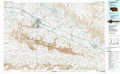 |
Crescent Lake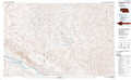 |
Arthur |
Kimball |
Chappell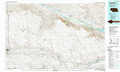 |
Ogallala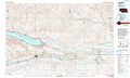 |
> Back to 41102a1 at 1:250,000 scale
> Back to U.S. Topo Maps home
1:24,000 Topo Quads covered by the spatial extent of this 100k map (Crescent Lake)
|
Cowboy Hill 
|
Rush Lake 
|
Mccarthy Lake 
|
Beck Lake 
|
Schoonover Lake 
|
Black Lake 
|
Mccarty Lake 
|
Alkali Lake 
|
|
Camp Lake 
|
Norris Lake 
|
Storm Lake 
|
Bean Lake 
|
Mumper 
|
Hessey Lake 
|
Young Valley 
|
Curry Lake 
|
|
Broadwater Nw 
|
Broadwater Ne 
|
Tar Valley 
|
Richardson Lake 
|
Crescent Lake 
|
Deer Lake 
|
Rackett 
|
Well Valley 
|
|
Broadwater Sw 
|
Broadwater 
|
Tar Valley Sw 
|
Buske Ranch 
|
Sugar Loaf Hill 
|
Crescent Lake Se 
|
Gusher Spring 
|
Rackett Se 
|